
Things to Do
Hear Live Music Inside NYC's Catacombs
Enter to win a pair of free tickets to an intimate concert performed inside the catacombs of The Green-Wood Cemetery!
Enter to win a pair of free tickets to an intimate concert performed inside the catacombs of The Green-Wood Cemetery!

Explore the home of Free Shakespeare in the Park at the first open house event of the season!


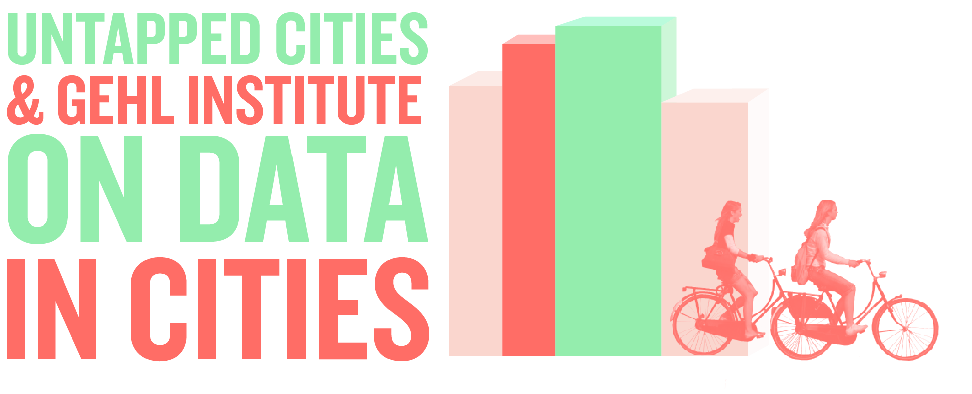
Welcome back to the Untapped Cities partnership with Gehl Institute in Copenhagen, looking at the impact of data, both open and collected, in the design of cities.

Copenhagen isn’t the only city in love with data. I don’t think anyone would call New York the happiest city in the world, but when it comes to innovation, an endless litany of press releases, non-profit reports and studies have for several years honed in on this city’s obsession with innovation. Whether it’s in government policies, infrastructure and programs, policies are usually far reaching and often carry political undertones–a key difference from Copenhagen’s more subtle and sensitive approaches.
While we haven’t spotted any specially crafted pizza-box garbage bins here in New York yet, there are plenty of other examples of how data is shaping the way the city’s pavement, parks and policies are designed. From the government’s focus on economic development to citizen interest in potholes, transportation and civil rights, our new access to numbers is transforming how New Yorkers accomplish their city-building goals.
Taking a page from Gehl Architects, the part of Mayor Bloomberg’s administration to most explicitly embrace data-informed design has been the Department of Transportation. Attend any community board meeting where the DOT is presenting a new street design and the first thing to be mentioned is how numbers are driving their work. Whether it’s the startlingly high accident fatalities on Adam Clayton Powell Boulevard ”” 13 deaths since 2006 compared to 2 and 3 on neighboring Lenox Avenue and Fredrick Douglas Boulevard ”” where they are implementing new pedestrian islands and reducing thru-lanes, or the huge number of people using mid-block pedestrian walkways in Midtown where the DOT is building a series of cross-walks, data is both a means and an ends to increasing the safety of New York’s streets through a feedback loop of measuring and testing and measuring and refining.
But it’s not just government agencies taking the lead; citizens are activating new technology to achieve policy changes. In 2006, following Streetsblog’s breaking news story on rampant illegal parking by city employees with government placards allowing them to park for free, OpenPlans and Transportation alternatives launched UncivilServants.org. The site allowed individuals to submit pictures of cars using government placards to illegally park on sidewalks, in bike lanes and other unsafe places, attracting 100,000 visits and the media in its first week. OpenPlans has also helped to start recent trials of real time bus tracking and has developed open source tools to help citizens better analyze 311 data.
The City’s Parks department is also getting onto the data bandwagon. Over the last few years, Parks has created a GIS database that maps every tree in Brooklyn ”” the only Borough to so far have had this done. Together with a team of Columbia University graduate students from the School of International and Public Affairs, Parks is pairing 311 complaints regarding tree pruning with this new data on trees so as to better schedule tree pruning to neighborhoods most at risk. While this might sound like technical tweaking, it holds the promise to save the City millions of dollars in maintenance, accident and property damage claims, and maybe even save a few lives. Not to mention keeping our streets tree-lined and beautiful.
Perhaps the most well-known pioneering use of spatial data to drive urban policy is in policing. CompStat, first tried in New York City in the 1990s under William Bratton, followed in the tradition of Charles Booth by mapping where crime was happening as a way of better deploying law enforcement resources. Today this policy has denigrated to what is known as ‘Stop-and-frisk,’ where certain areas and groups of people are regularly pulled aside or briefly thrown in jail without cause in order to check their criminal records and search their person. In a startling reversal, civic activists are finally turning the tables on this use of data, developing apps to easily film police officers who take part in ‘stop-and-frisk’ to ensure there is just cause for these stops and that individuals are treated respectfully.
It should come as no surprise that these data-oriented approaches to influencing policy have occurred under a Mayor who made his career culling numbers. But its easily forgotten that behind all the math is a clear statement of a vision for a better city ”” PlaNYC 2030 ”” that is driving these government policies and provoking citizen responses. Rather than getting lost in all the data, these documents collectively keep our heads above water so we can design the kind of city we want to live in. And that should make us happy too.
See Gehl’s Institute’s article: “Copenhagen–Governed with People in Mind.”

Subscribe to our free newsletters
Free Newsletters
Get the best stories and things to do sent straight to your inbox.