MetroCards to Masterpieces: Meet Artist Thomas McKean
Get a behind-the-scenes look at the work of a local NYC artist who turns MetroCards into works of art!


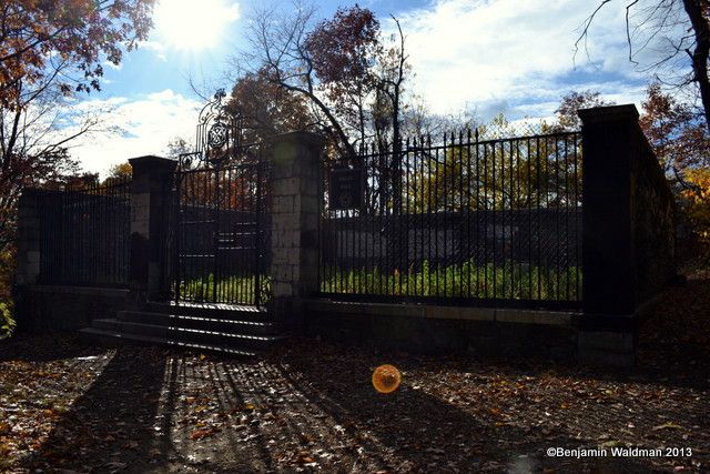
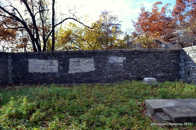
Our very own history editor, Benjamin Waldman, happened across these mysterious vaults in Van Cortlandt Park dating from New York City’s colonial era. While researching the history of the Bronx, he read about the vaults in the book The Borough of the Bronx, 1639-1913: Its Marvelous Development and Historical Surroundings by Harry T. Cook. Digging a little deeper, he found that the vaults pictured here were used in 1776 by Augustus Van Cortlandt, then the City Clerk, to hide important “records of the City of New York…when the City was evacuated by the Americans in 1776, and preserved until peace was restored.”
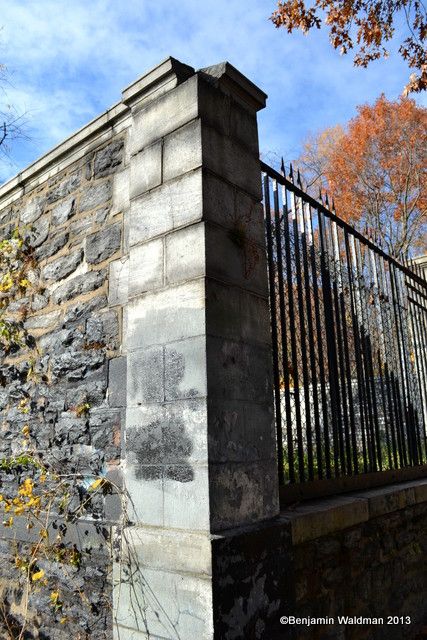
At the top of Vault Hill in Van Cortlandt Park you can find the historic vaults, fortified behind walls and an ornate front gate. Harry Cook writes in his treatment of the location:
No spot of ground around New York is so hallowed by Revolutionary memories as this. It was on Vault Hill, to the northwest of Van Cortlandt mansion, that Washington in 1781 kept a string of camp fires blazing for several days to deceive Clinton across Spuyten Duyvil Creek, where the allied French and American armies were speeding across the Jerseys on their way to Philadelphia and Yorktown. Vault Hill derived its name from ancient burial place of the Van Cortlandts.
Here are some more of Benjamin’s photos exploring the vaults:


Get in touch with the author @uptownvoice. For more quirky finds, be sure to check out our Daily What?! series. Contribute your own by contacting us on Twitter or using the hashtag #DailyWhat.
Subscribe to our newsletter