 A demographic breakdown of NYC reveals that which you probably already knew: few people live in parks.
Image Source: Wikipedia (Public Domain)
If you’ve ever wondered who, if anyone, lives in NYC’s larger parks, allow the Department of City Planning’s official population record of Joint Interest Areas (JIAs) to put your questions to rest. As defined by the Department of City Planning, JIAs are, “public parks, waterways, major government installations, and similar land uses which are not located within bounding community districts,” though they take up large enough plots of land to be independent of the city’s 59 communities. There are currently 12 such areas with population records, including surprising places like Central Park, LaGuardia Airport and JFK Airport, and the Queens Gateway National Recreation Area.
JIAs pick up where Community Districts leave off, and therefore serve similar functions, namely keeping track of who lives there. Data from the 2010 Census indicates that 3,453 people live in these areas throughout the city, with Bronx Park being a particularly popular place to live (1,351 residents), while Central Park consequently is not (25). No place was more lonely than the two airports though, with an official population count of 0 for both.

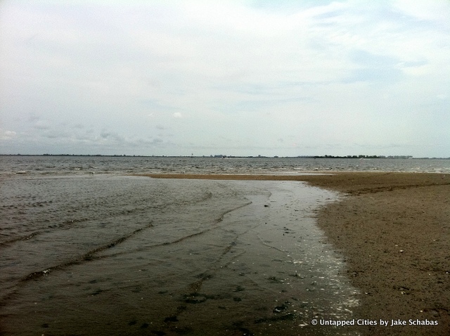
Jamaica Bay
Don’t assume that these figures reflect homeless populations (which currently number over 54,000), as several of these areas have official housing units. Forest Park in Queens, for instance, is home to a population of almost 700 people residing in nearly 400 dwellings. Though curiously enough, Prospect Park hosts more housing units (85) than permanent residents (76). The Department does not disclose full demographic profiles for these areas, so it remains our best guess as to exactly who lives in these areas and why.
Referring to official 2010 U.S. Census reports won’t clarify much and may actually add to the general confusion, since the Census–a federal body–divides NYC up into “tracts” that don’t always coincide with local community boards. For instance, Manhattan’s northernmost census tract, 309, is Marble Hill, a neighborhood that was physically attached to The Bronx and a part of Bronx Community District 8. For the intrepid demographer, it might take a bit of self-motivated research to get to the bottom of a numbers game that currently doesn’t quite add up.
Read more about odd little facts in Cities 101. Get in touch with the author on his website and @thisisnotreale.


