Last Chance to Catch NYC's Holiday Notalgia Train
We met the voices of the NYC subway on our nostalgia ride this weekend!


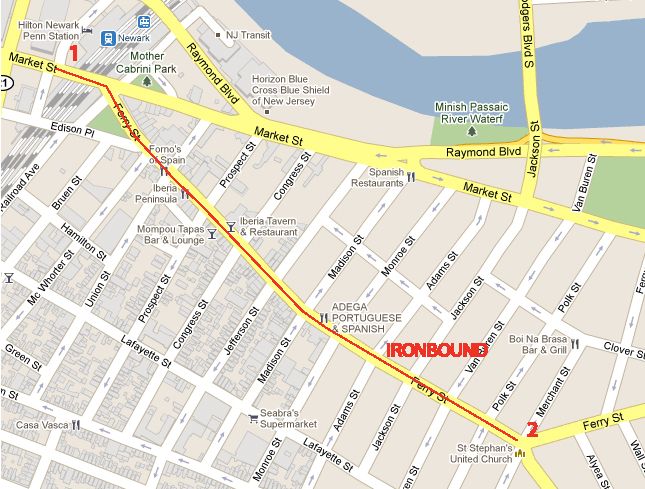
You read that right. We took a self-guided walking tour of Newark recently and surprise! It was really nice. The city may be struggling financially, but there has been significant investment in the tourist experience, including way-finding signs to major landmarks and a light-rail system. Ironbound, the Portuguese-Brazilian neighborhood, received recent upgrades in terms of streetscape and branding. Since this is Untapped, we have theories about the connection between urban planning and the economic viability of the city and we’ll pepper this photo tour with some of that here and there. Here’s the map of the route:
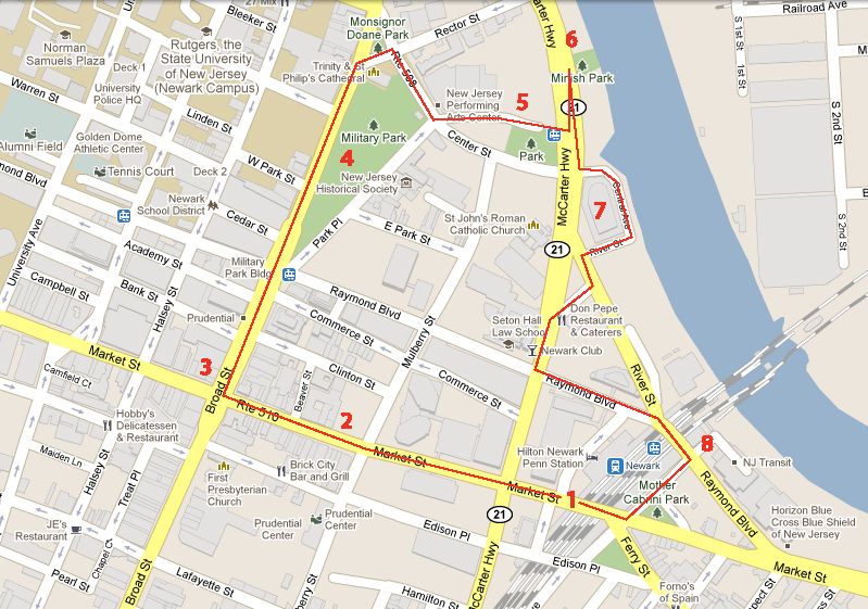
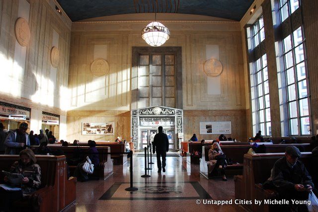
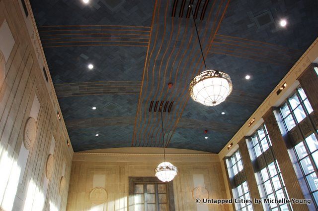
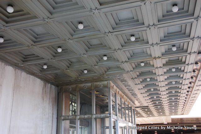
1. Arrival in Newark Penn Station, designed by McKim, Mead and White in the art-deco style. You can get here by NJ Transit, PATH, Amtrak, NJ Bus and Greyhound.
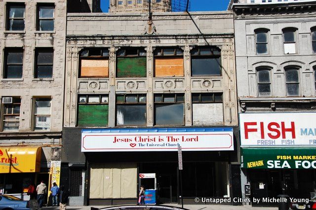
2. Along Market Street are the remnants of old theater marquees and buildings with intricate facades, reminiscent of 125th Street in Harlem:
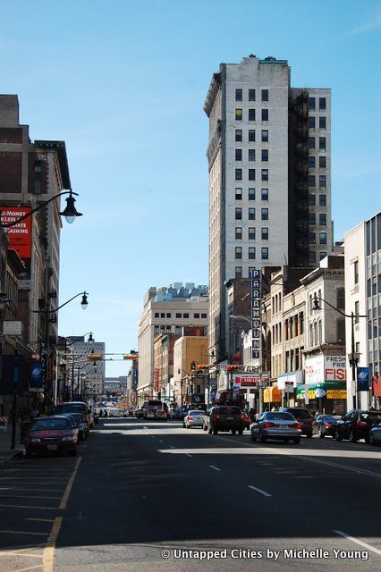
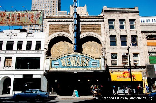
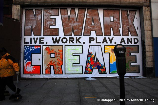
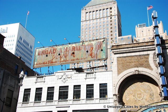
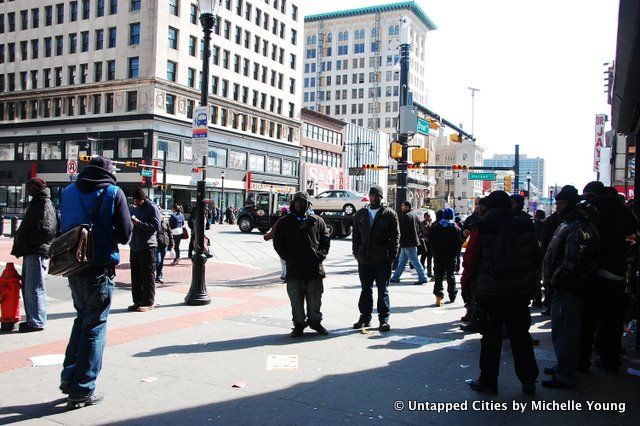
3. Outside of the historic blocks, large avenues and large commercial buildings have created superblocks. An excessive number of parking lots in the city fill the underutilized spaces in between. Park space, as you’ll see below, isn’t used either–so the major public gathering place is actually at the intersection of Market Street and Broad Street, the two main avenues of Newark. We thought there might be an event going on based on the large number of people gathered at the corner, but we quickly realized it was just a central hang out point.
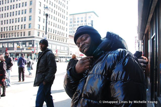
This guy really wanted his photograph taken and I promised to bring back the final result of our school project mapping out Newark:
The intersection also looks a bit like Harlem or Washington Heights in terms of both architecture and tenants:
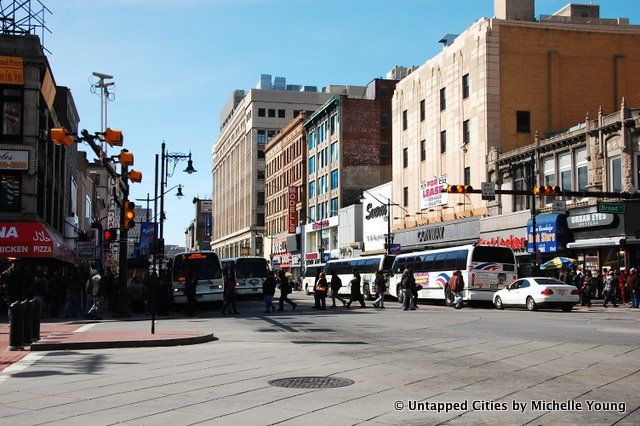
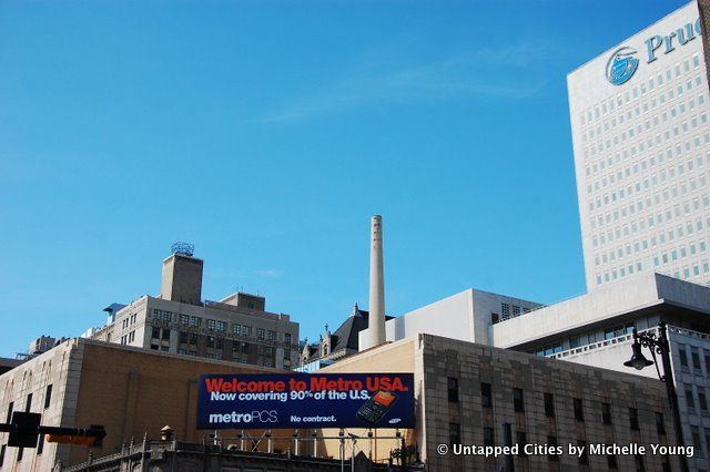
One of the main differences with New York though is the evidence of industrial activity in the central urban corridor. In downtown Newark, factory chimneys rise juxtaposed against new office buildings:
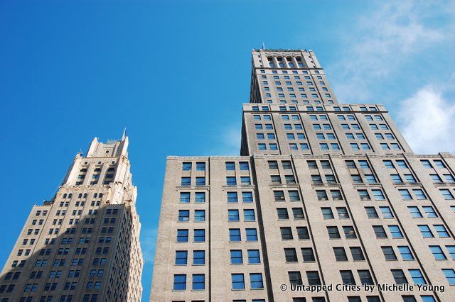
It gets less busy after you turn right on Broad Street. The architecture looks similar to Manhattan of the early 20th century:
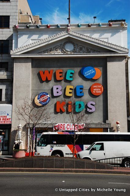
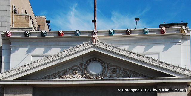
The ground floors have been repurposed for modern commercial use, leading to interesting alterations with the neoclassical architecture. This toy store painted the lion heads on the cornice in shades of turquoise, reds and yellow:
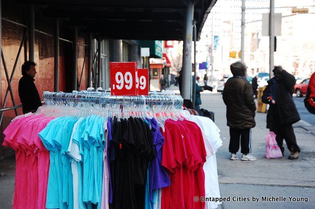
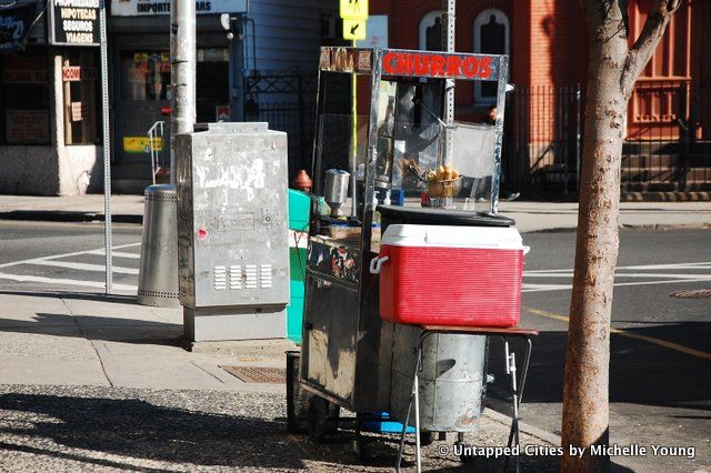
Street side vending is popular, ranging from handbags to t-shirts to churros:
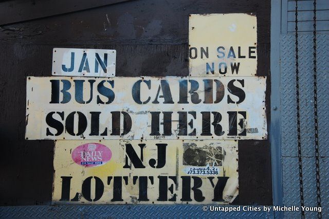
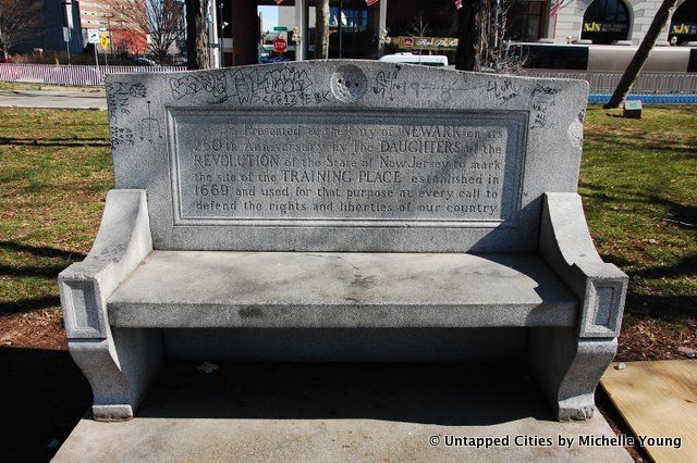
4. Military Park is a triangular-shaped park along Broad Street. Inside the park there is a massive sculpture dedicated to the Wars of America, but there was so little activity around it I didn’t even take a picture, even though it is intended as the center-piece of the park. In fact, there was nobody in the park at all. Here is a bench commemorating a military training site in the early days of colonial America.
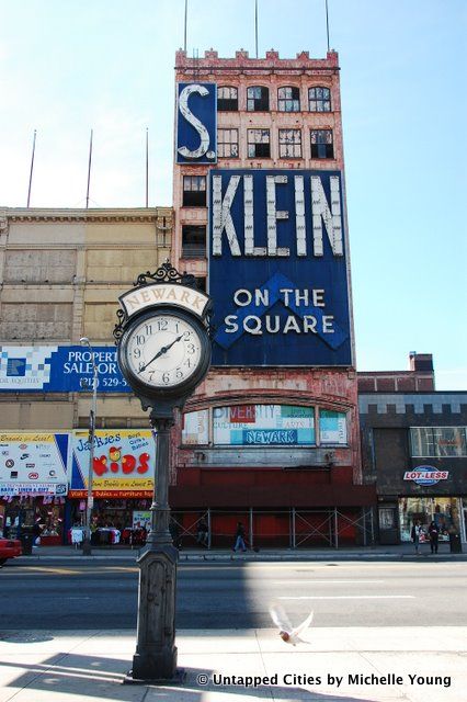
Across from Military Park is the facade of S. Klein on the Square, a defunct affordably-priced department store that was based in New York City. “On the Square” meant that the business was “honest and straight-up,” a play on its geographical locatios, whether here at the Military Park or in Union Square. This store closed in 1976 and has been vacant ever since:
On the other side of Military Park is a series of cute row houses that contain the Newark Public Radio, the New Jersey Historical Society and a bar called “Tipsy’s Lounge”:
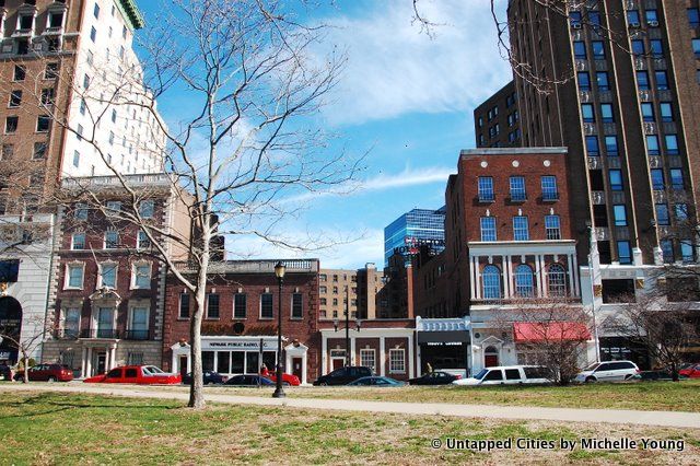
At the northern end of the park is Trinity and St. Philip’s Cathedral, and episcopal church used as a hospital during the Revolutionary War. The original building suffered heavy damage during the war and was rebuilt in 1810. Just across the street are additional historic buildings:
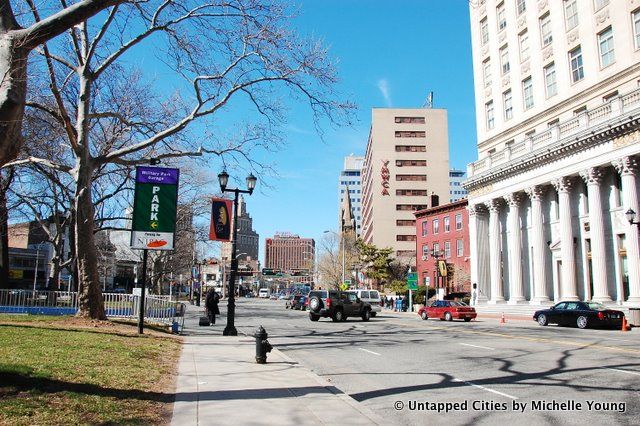
5. At this point, you won’t be able to miss the enormous New Jersey Performing Arts Center (NJPAC), also accessible by light rail. The park attached to it was empty, so we went straight to the waterfront. The waterfront park is in a bad state of repair, with overturned chairs and remnants of electrical plugs from street lamps pulled out of the ground. But there is a historical panorama to check out, which shows you what Newark looked like over time.

For some reason, the park chairs face the McCarter Highway and after trying it out, I can confirm that facing away from the water is not the best orientation for waterfront park benches! From the park you can also see the New Jersey Transit Railroad Bridge:
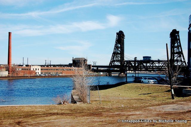
Just nearby, there’s an FBI headquarters which I won’t display a photograph of…McCarter Highway will get you back to Newark Penn Station. If you’re adventurous, walking along Ferry Street from the train station will take you to Ironbound, the Portuguese neighborhood:
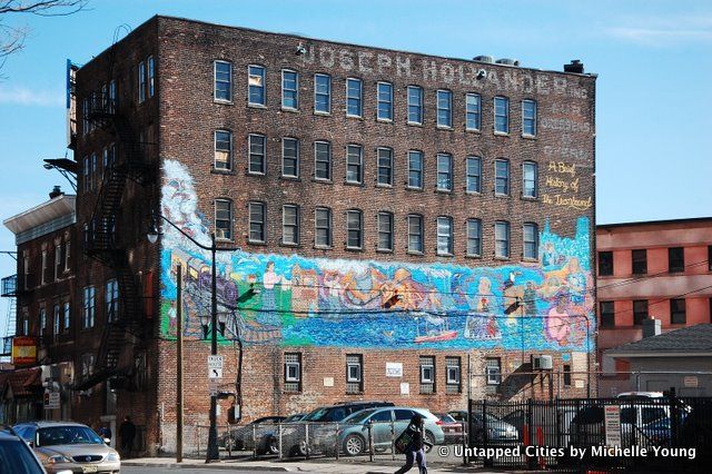
A mural along Market Street is dedicated to the history of the Ironbound neighborhood:
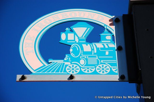
Branding signs to mark the neighborhood:
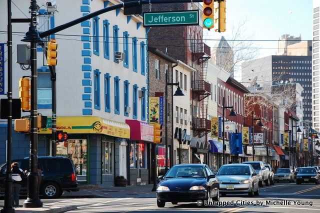
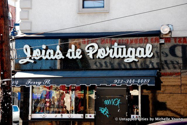
The main street of the Ironbound along Ferry Street:
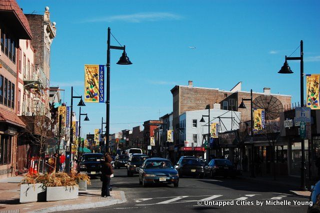
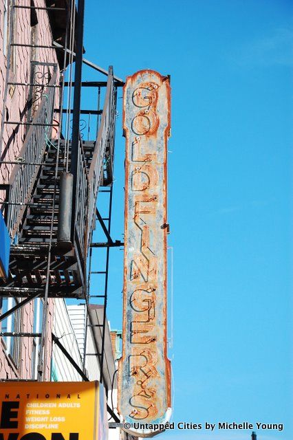
There were tons of Portuguese restaurants and some informal food stands:
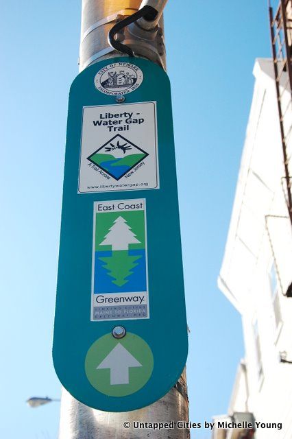
It’s also part of the East Coast Greenway that runs from Maine to Florida!
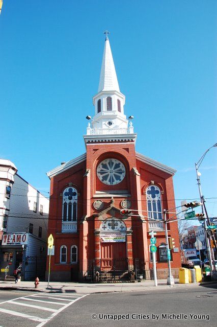
Church at the intersection of Ferry, Merchant and Wilson streets:
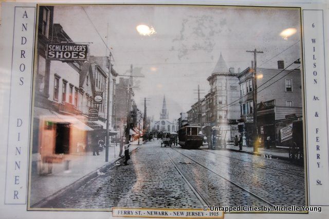
and what the neighborhood looked like in 1915 (images from Andros Diner):
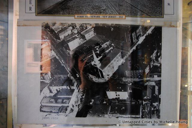
Aerial shot, 1955 (image also from Andros Diner):
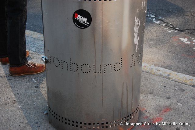
On the way back to Penn Station, we found garbage cans also with the Ironbound banding.
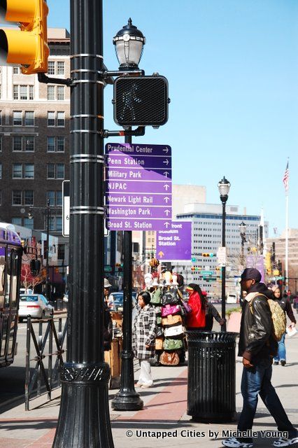
Throughout the city, there are helpful way-finding signs and the walk felt completely safe, with many pedestrians in the central parts of the city:
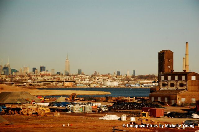
On the way back to New York City via NJ Transit, there’s a great view of the Manhattan skyline:
Get in touch with the author @untappedmich.
Subscribe to our newsletter