
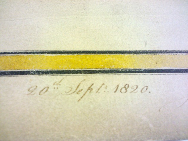
The Museum of the City of New York will soon be opening its exhibition on Manhattan’s grid, with borrowed and scanned maps of John Randel, Jr.’s original, painstakingly hand-drawn and colored survey maps of Manhattan before the grid was overlaid on it. Untapped had the privilege of viewing the actual maps, which took Randel (and his wife, to some extent) over five years to make (given the signature and date Randel put on each beautifully illustrated page).
The maps themselves should belong on display, but they are in fact housed in a metal drawer on the 19th floor the Manhattan Municipal Building at One Centre Street. Not the most glorious place for them, but when you step into the “topo room,” you’ll see that the utmost care is taken in handling and storing these maps: each page of the map, in itself worthy to be hung up, is carefully stored between a large cardstock folder. And if you thought you could touch them with your bare hands, forget it. See the white traffic director gloves:
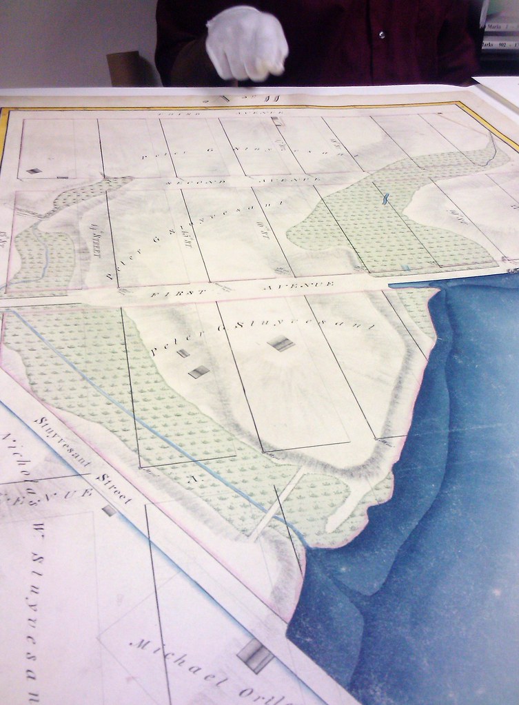
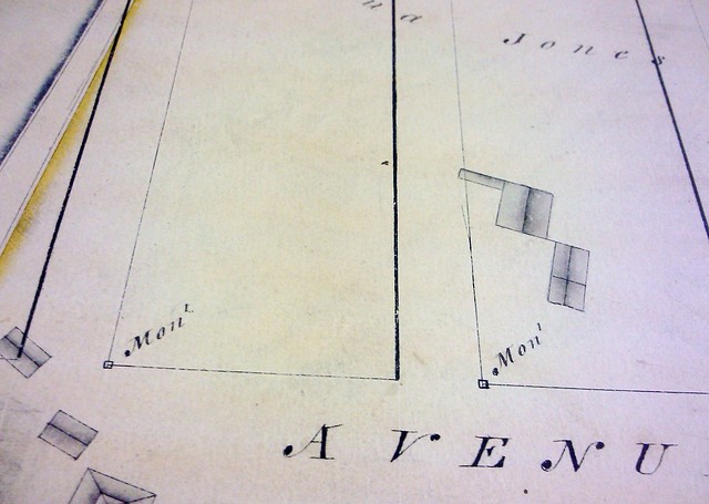
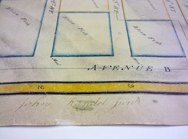
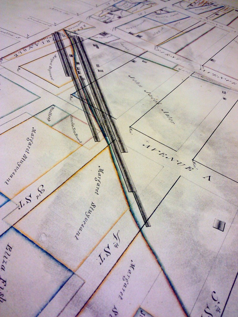
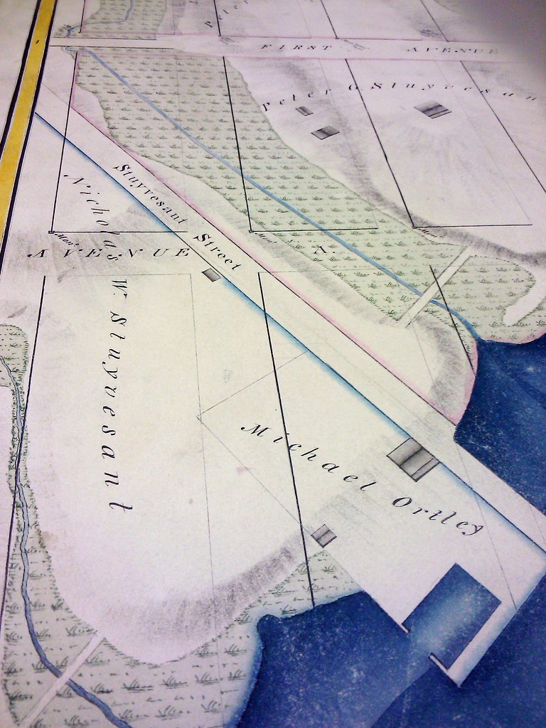
The maps were intended to show ownership of land, and Randel cut no corners in detailing ownership in the fanciest handwriting possible. You’ll enjoy lots of Stuyvesants (though certainly not limited to this lineage), and, generally, lots of acreage per owner. It’s scary and marvelous to think back on just how sparse this island was–the Manhattan before Manhattan.
Randel was also slightly crazy enough to tackle the issue of topography. Using a method involving metal stakes in the ground, he was able to nearly accurately calculate elevations. The metal stakes are visible in the maps themselves (in the photo below, at the bottom left corner of the properties). Word has it that the various landowners, not keen on the idea of parsing up their land for a grid (would you have been?) would thwart Randel’s efforts by ripping up the stakes. See this New York Times article on all the grief the man endured, ultimately, for all of us who have been spoiled by the grid’s ease of use.
Beholding these maps, there’s no way you can’t write off the man as a lunatic. But, for what the implementation of what the museum had dubbed “the greatest grid,” someone had to be.
 The rope factories, a prevalant component in the maps
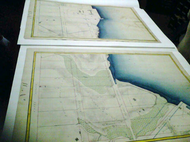 Photo courtesy of Tiffany Rosa
Much like Eugène Atget who photographed a disappearing Paris as Haussmann tore through the streets to lay down his grid, John Randel, Jr. and wife managed to preserve a glimpse of a New York that could easily have been forgotten.