Last Chance to Catch NYC's Holiday Notalgia Train
We met the voices of the NYC subway on our nostalgia ride this weekend!


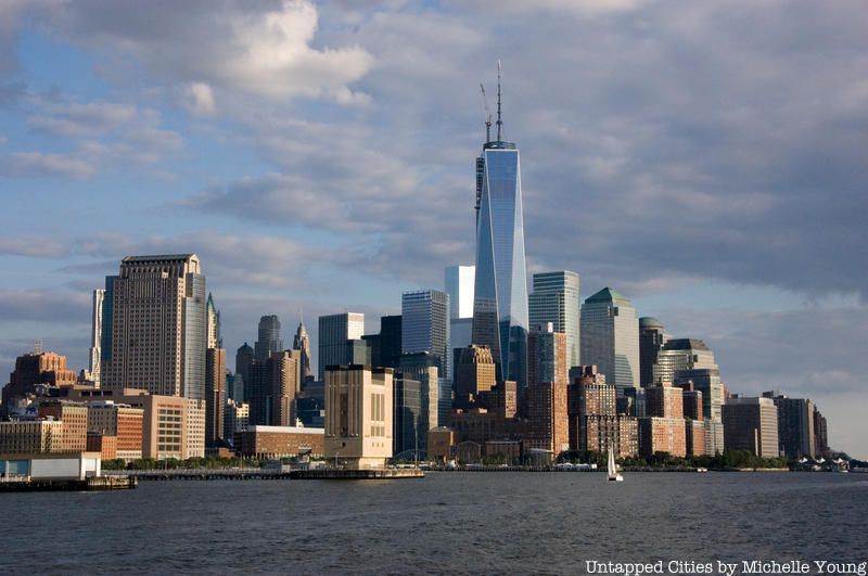
It’s easy to think that the place you’ve lived in has always been the same–that New York City’s shorelines have been roughly where they were since the discovery of Mannahatta. But we learned the reality the hard way with Hurricane Sandy and saw just how much we’ve altered in the natural landscape. In fact, there was a time that city planners were fairly obsessed with filling in our waterways–here is a plan to fill in the Hudson River and another to drain the East River.
As a quick reminder, here are eight spots in New York City that were created out of excavations elsewhere.
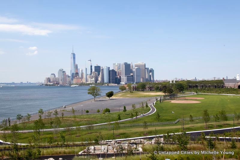
The southern portion of Governor’s Island (the cone of the ice cream-coned shape island) is actually landfill from the excavation of the 4/5/6 trains on the East Side of Manhattan. Over the last few years, this portion of the island has received some significant upgrades. In the summer of 2016, The Hills opened which included the longest slide in New York City and in 2014, Hammock Grove and Play Lawn opened.
You might think that all of Freshkills Landfill on Staten Island is just garbage (true, there is 150 million pounds of it), but one of the mounds was formed primarily from debris extracted from the wreckage of the first World Trade Center. On this, James Corner, landscape architect of the High Line, will build an earthwork reflecting the shapes of the towers on their sides in the conversion of the landfill into a massive park.
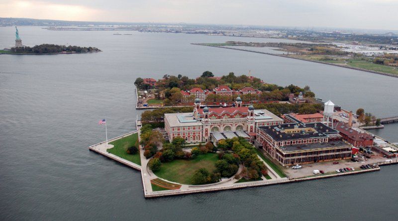
The New York City-side of Ellis Island is the only natural part of the original island. The New Jersey-side contains all infill land, containing the abandoned and crumbling Ellis Island Immigrant Hospital. The border between the two has been contested since the early 1800s, coming to a final head in a Supreme Court case in 1998.
You can explore the abandoned Ellis Island Immigrant Hospital on a special behind-the-scenes hard hat tour!
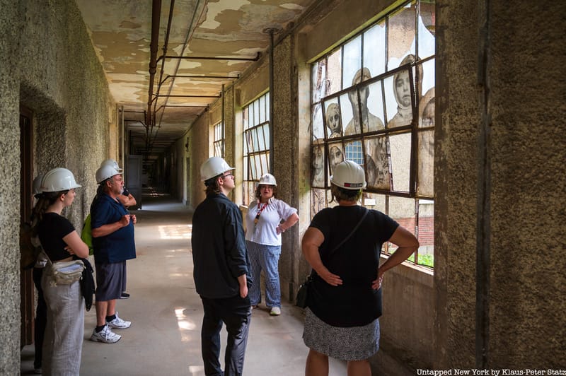
Gain access to spaces usually off-limits to the public!
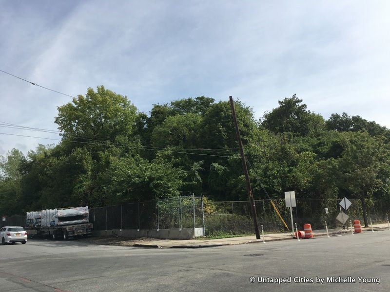
Ingraham’s Mountain is a man-made topographic feature that sits within LaGuardia Airport, created from excavated material from the Lincoln Tunnel in 1936. It’s 86 feet high but will lose about 20 to 30 feet as a staging site for upcoming extensions of LGA runways.

Perhaps the most famous of the infills in New York City, this fun vintage photograph when it was used as a beach is a very palpable reminder of shoreline extension. Today, it’s a densely settled, planned neighborhood of both residential buildings and tall commercial building, with a waterfront esplanade filled with public art and waterfront parkland.
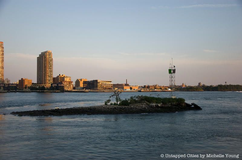
U Thant Island is the smallest island in Manhattan and is man-made from excavation of the Steinway tunnels, that now host the 7 train under the East River. In 2004, in protest of increased security in NYC for the Republican National Convention, artist Duke Riley sailed to U Thant Island and proclaimed it a sovereign nation.
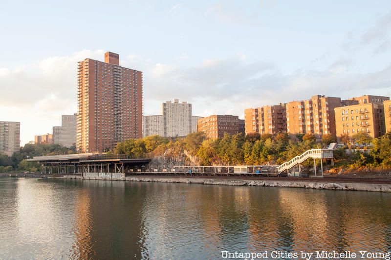
Marble Hill was once the northern tip of of Manhattan, but the Army Corps of Engineers saw that it would be faster for ships to round the island if they didn’t have to go around. So they simply sliced off the outcropping, rendering it an island, and later filled the old river making it part of the Bronx. It leads to some funny jurisdictional things–it’s still technically part of the borough of Manhattan but it has a Bronx zip code and area code!
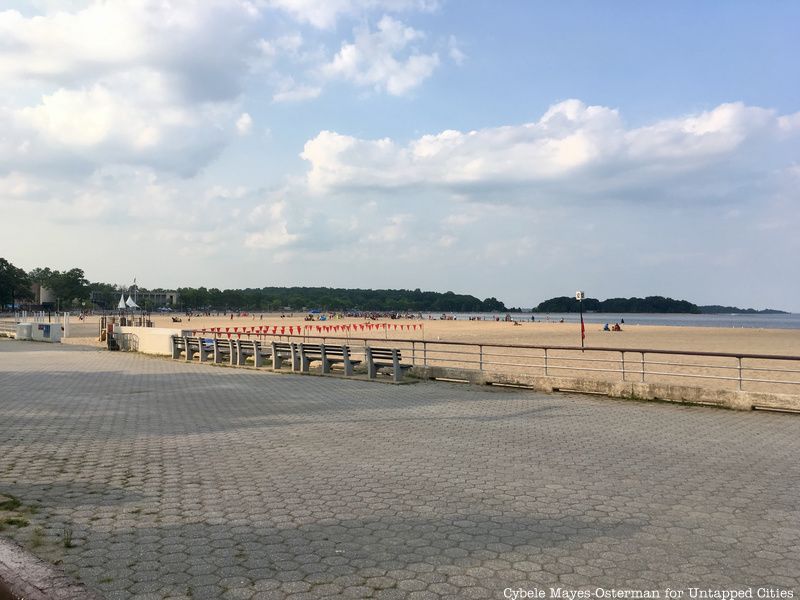
Orchard Beach in the Bronx, along with 1/3 of Pelham Bay is landfill that comes from Sandy Hook, New Jersey and the Rockaways. Two former islands, Twin Island and Hunter’s Island, in Pelham Bay are no longer separate but part of the Bronx. Photos from Wayne Lawrence’s book, The Bronx Riviera and an accompanying exhibit will be on display at the Bronx Museum.
Other parts of NYC shoreline were filled in with shipwrecks and other material, as in the Bronx where it is surmised the wreck of the HMS Hussar and its millions in gold are buried underneath urban fabric. As such, this is only a partial list but feel free to tell us more that you know of!

East of Staten Island’s South Beach are two artificial islands called Hoffman Island and Swinburne Island rest undisturbed in the Lower New York Bay. Hoffman and Swinburne were constructed from landfill in the 1870s, and served as designated quarantine stations for arriving immigrants who were found to be suffering from contagious diseases, similar to the Ellis Island Southside Hospitals. To prevent the occurrence of a deadly epidemic, a concrete wall barricades each island. Years later, the islands were also used as military training centers.
For the benefit of avian species, the National Park Service currently manages the eleven-acre Hoffman Island and four-acre Swinburne Island as part of the Staten Island Unit of the Gateway National Recreation Area.
Subscribe to our newsletter