Marty Supreme Film Shoot Transforms NYC’s Lower East Side
In October 2024, we reported on a new Timothée Chalamet movie that was shooting on the Lower East Side, and

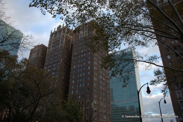
Tudor City is a city of opposites: skyscrapers with 16th-century revival architecture, a quiet elevated quarter neighboring the United Nations and FDR Drive. It’s also nestled between new developments on the Long Island City waterfront and the encroaching (temporarily-shelved) East Midtown rezoning plans.
While you can “stumble upon” most neighborhoods of Manhattan, it’s a little harder to stumble upon Tudor City because the elevated neighborhood is only accessible via ramps and staircases. It’s busy with tourists only on the two days a year when Manhattanhenge hits the city. Today, we’ll be looking into the history of this unique neighborhood, purported by Eric Nash to be the first residential skyscraper community in the world in his book, Manhattan Skyscrapers.
Originally, this land was a “country estate” for the big wigs of New York City like The Kip Family (where Kip’s Bay comes from), and The Winthrops (as in Winthrop University Hospital on Long Island).
By the Civil War, the area became a slum in every sense of the word. At this time, it was called “goat hill” after the goats and squatters in the area. By the late nineteenth century, this area was called “Corcoran’s Roost” or “Dutch Hill.” Corcoran’s Roost was a center for thievery and general debauchery. The infamous “Rag Gang” led by Jimmy (aka, Paddy) Corcoran was based here.
When Corcoran passed away in 1900, the Industrial Revolution was in full swing, and wealthy New Yorkers began to flee to the suburbs. Thoughts were thrown around of creating a middle class “suburb” in Manhattan so the city could remain economically diverse. In the booming post-World War I economy, real estate developer Fred F. French drew up plans for Tudor City in 1921. Tudor City was perceived as the perfect remedy to keep the middle class in Manhattan and to gentrify a slum conveniently located near the new Grand Central Terminal.
By 1932, construction began. The area was elevated in order to be separated from the whir of Midtown Manhattan. Apartments were built facing interior parks and courtyards rather than the slaughterhouses and power plant by the East River.
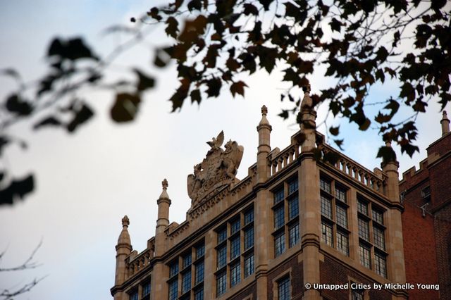
But why the Tudor style? The chimneys and decorative entryways contrast with the sleek skyscrapers of midtown. In the first half of the 20th century, there was a major revival of Tudor Architechture in America’s suburbs. Since Tudor City was meant to quell the harshness of midtown, the historic style fit the equation. Tudor City was built concurrently with several of New York City’s outlying neighborhoods, like Forest Hills (also in the Tudor Style), Sutton Place, and Beekman Terrace.
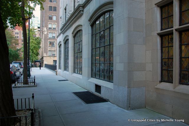
Another oddity of Tudor City is that all the parks within its borders are privately run. In 1976, the city attempted to make these parks public without justly paying the private company that owned Tudor City (who could ostensibly have value in the air rights, for example). There was a major court case in response to this, which enforced the parks’ private nature.
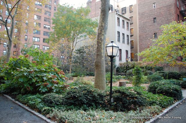
Tudor City is filled with small parks like this one.
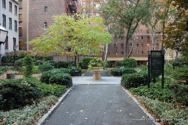
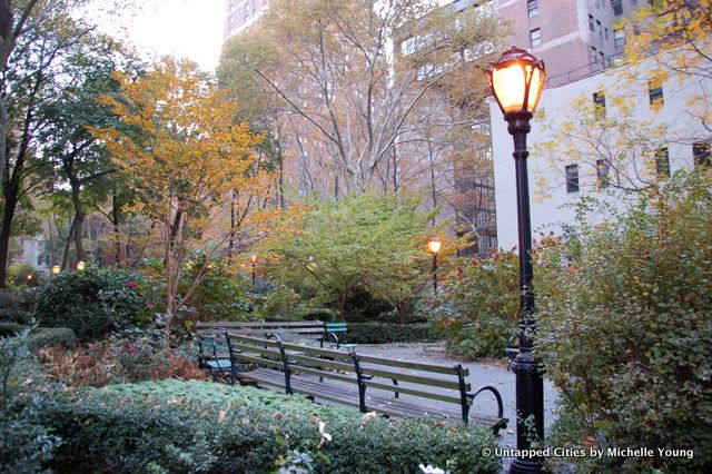
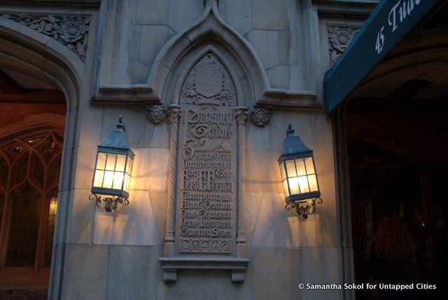
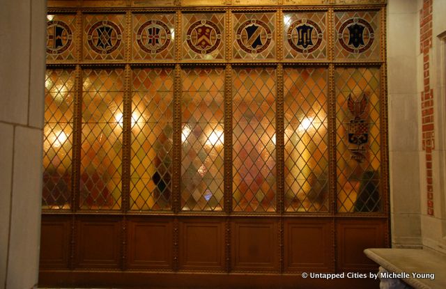
After the tumultuous court case, the neighborhood was named a historic district in 1988. The historic district report cites its importance as an architectural landmark and an apartment building complex with a distinct “sense of place.” You would never guess the grime and gangs it used to hold. Here are some additional photos from the neighborhood:
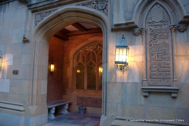
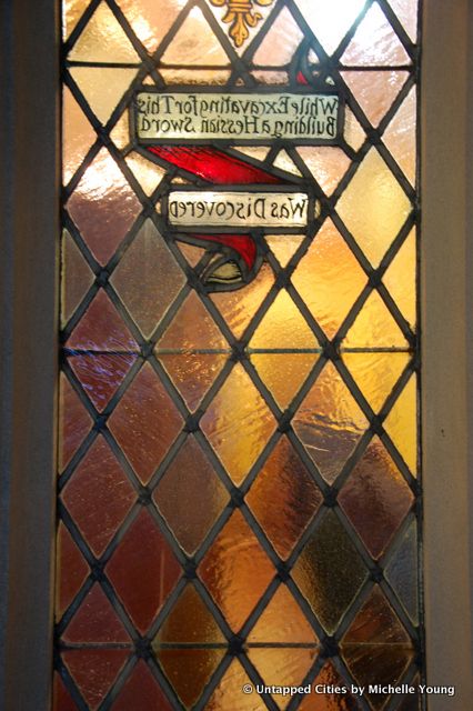
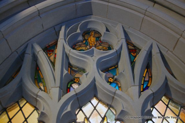
Fun stained glass reads: “While Excavating For This Building Hessian Sword Was Discovered.”
For more on the East Side, check out this round-up of ten architectural sites along the East River.
Subscribe to our newsletter