Last-Minute NYC Holiday Gift Guide 🎁
We’ve created a holiday gift guide with presents for the intrepid New Yorker that should arrive just in time—


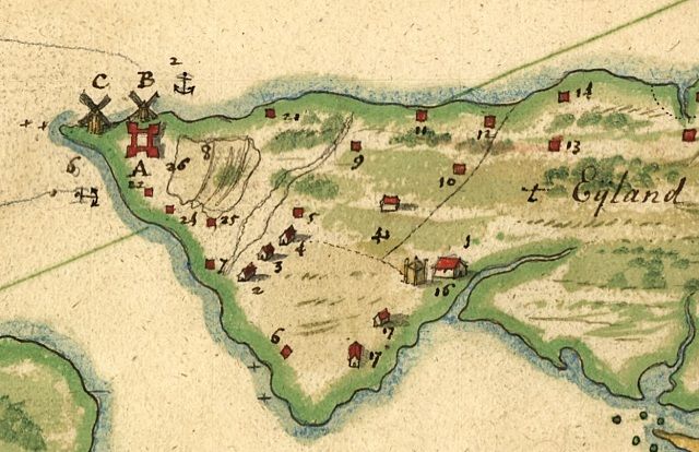
This Dutch map from the 17th century is the oldest map of New York City in the New York Public Library’s Digital Gallery. It’s called De Manatus Op de Noort Riuier or The Manatus map, Castello Copy. It’s fun to see the distorted geography (although Staten Island is always bigger than we think!) and all the “other islands” off Manhattan.
The original map is dated 1639, but this is a copy of that map made in 1660. Or to be more specific, this is a photograph of a copy of the original which belongs to the Italian government and resides Villa Castello, near Florence The cartographer is possibly the Dutch cartogtrapher-painter Johannes Vingboons. That’s what it says in the archive: “possibly”. So that means the map is also possibly a mystery.
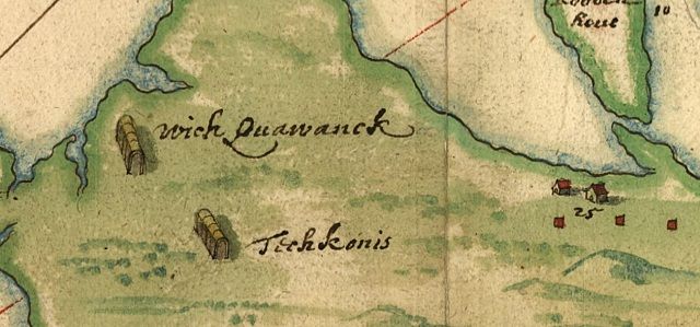
Another, much better photograph of the original map is available on the Cartoko Map Database in extremely high resolution. The colors are beautiful and you can see the cartographer’s mastery of watercolors. The delicate brushstrokes show hilly terrain. There are tiny adorable depictions of both Dutch (little red houses) and Indian (long houses) settlements, sometimes quite near each other.


This map lives in the Individual prints, drawings, paintings and maps section of the I. N. Phelps Stokes Collection of American Historical Prints.To explore more of the incredible maps from that collection click here.
Get in touch with the author @youngzokeziah. See more maps in our Fun Maps column.
Subscribe to our newsletter