


 Map from the Metropolitan Transit Authority
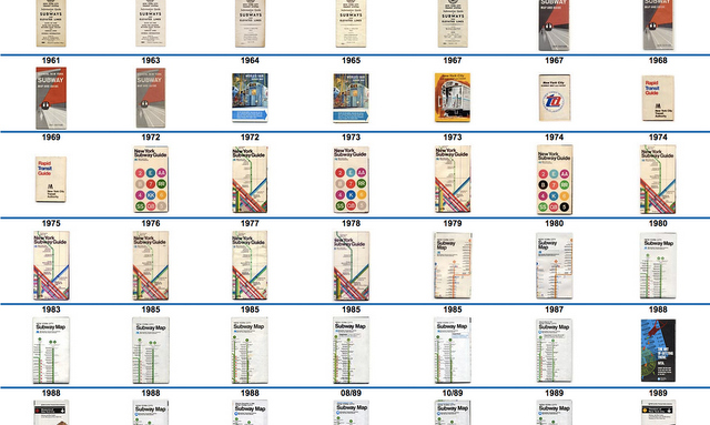
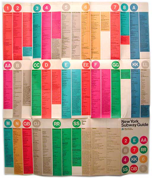
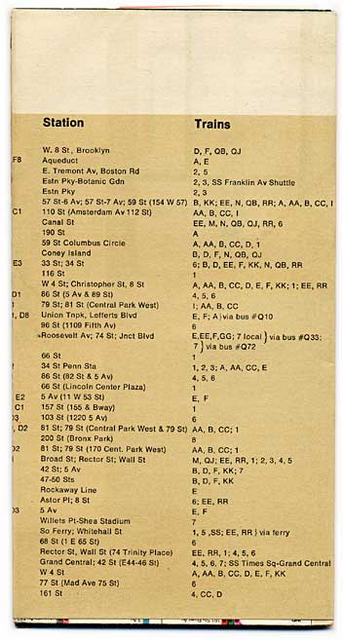
Yesterday, urban enthusiasts and design-philes mourned the death of Massimo Vignelli, the graphic designer who created the iconic 1972 subway map. Here’s a look at that famous map, from a website that allows you to look inside and outside every subway map from 1924 to 2014.
Images from subway.com.ru
It’s so loved, it sits in the Museum of Modern Art’s postwar design collection. At least once a year design aficionados call for the subway map’s return to Vignelli’s clean, abstract aesthetic. But the original wasn’t universally loved by riders. According to The New York Times,
What upset many riders even more was that the map ignored much of the city aboveground. It reduced the boroughs to white geometric shapes and eliminated many streets, parks and other familiar features of the cityscape. Tourists complained of getting off the subway near the southern end of Central Park and finding that a stroll to its northern tip, 51 blocks away, took more than the 30 minutes they had expected. Gray, not green, was used to denote Central Park; beige, not blue, to indicate waterways.
 Images from subway.com.ru
But an MTA spokesperson commented in the Daily News upon its release that “Maps like these have to make deliberate distortions to clarify….There’s no sense in using a transit map for geography lesson.”
 Images from subway.com.ru
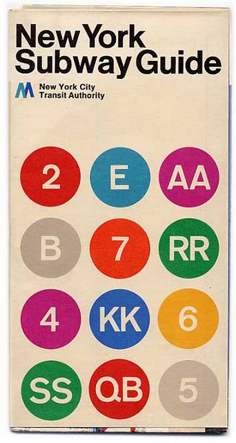
By 1979, the Vignelli map had been replaced but in recent years there’s been a return of interest. The Weekender Map, introduced in 2011 is also by Vignelli.
See a chronological history of NYC subway maps from 1924 to today. See more maps in our Fun Maps Column.