See the New Times Square New Year's Eve Ball Up Close
Find out how you can take home a piece of the old New Year's Eve ball!


Relied on by everyone and utilized on a daily basis, transit systems form the critical backbone for urban life. One would assume that most networks feature user friendly interfaces and streamlined routing, though this isn’t always the case. Below, we try to clarify some of the colloquial nuances of the world’s most well-known networks. Just remember: Subways are like Band-Aids.
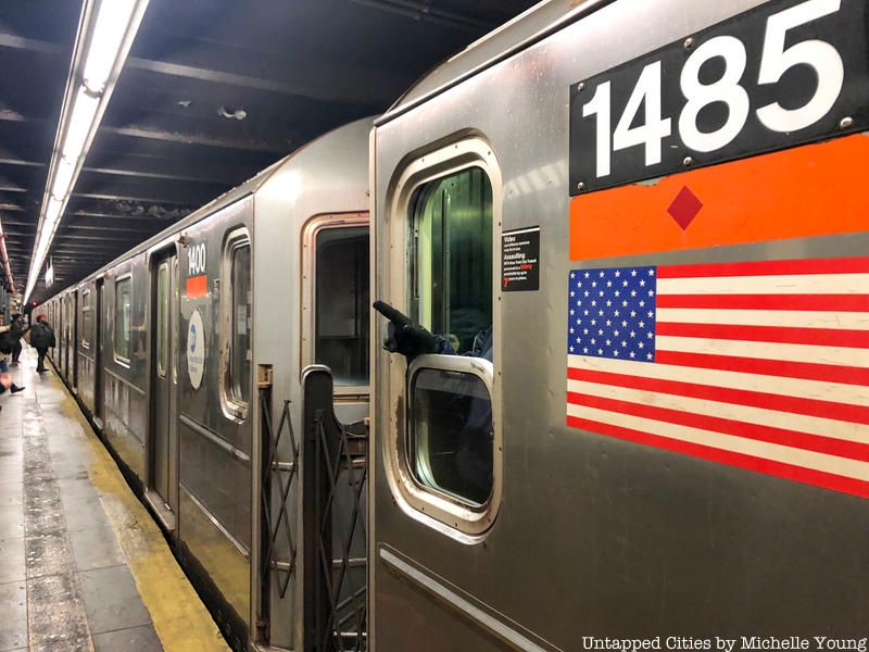
The proper term used by transit authorities and civil engineers alike for those trains that run beneath (and sometimes on level with or above) the streets of our cities is rapid transit–specifically, heavy rail rapid transit. The terms “Subway” (often used in North America) or “Metro” are brand names that have become so widely used that they are now proprietary eponyms, just like Band-Aid is typically used to refer to adhesive bandages.
The term heavy rail is associated with rapid transit systems most often branded as subways or metros to describe train sets with common characteristics involving high operational capacities, rapid acceleration, and third rail power conduction. All this is to distinguish them from light rail, or trains that operate at lighter capacities that might be, but not always (see LA Metro), more integrated with street traffic for portions of their lengths and are powered by overheard catenaries. In North America, trams and streetcars are considered light rail, though not all forms of light rail are considered trams or streetcars.
For all that Harry Beck’s innovative map brought to the Underground, there was no way for him to avoid that the system runs above ground for over half of its length. Added to this, most of the system’s original lines–dating from 1863–were built with “cut-and-cover” methods. It wasn’t until the late 19th century that the first deep level tubes were carved out of the native London Clay.
In 1933, all of London’s railways, trams, and buses were consolidated into one network (London Transport) and the adoption of the term “tube” came into common parlance to refer to the system as a whole–or not, because even less of the system operates in tubes. Today, the network is complimented by the Overground, a commuter rail network that lives up to its name (it runs above ground) and is listed on most tube maps despite being operated by National Rail. The Overground was developed in order to give more Londoners access to reliable transit, since North London is disproportionately served to South London. In order to better understand London’s rail transit, you should know that there’s more to the Underground off the map than on it and that the Circle Line isn’t really a circle.

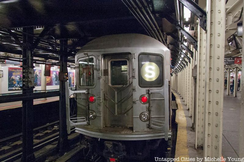
No system in the world has as complex of a history as the Subway, and therefore as complex of a way of naming the network. Consolidated in 1940 from the operations of three separate companies, the MTA began assigning colors to its services beginning in 1968, and in 1979 based them on which avenue the service ran beneath in Manhattan (assuming a little bit of boro bias, no?). Most New Yorkers require that even the naive tourist learn to refer to services by either the designated letter or number and not by their color, but only older New Yorkers will remember the days when routes were designated by their line.
To clear things up, understand that a service refers to the route a train (e.g., the 4) takes along a line (e.g., the IRT Lexington Avenue Express), or the physical tracks along which the train runs. Their are currently 23 services (if you count the three “S” services as separate shuttles, but exclude the Staten Island Railway as a separate company, which you should) and 34 physical lines. A single service will operate across several different lines across the length of its run and might switch from running as express (stopping at only major stations) on one line to local (stopping at every station) on another. May double-letter services, the JFK Express, the Efficient Passenger Project, several abandoned stations, and the “skip-stop” 9 and V trains all rest in peace.

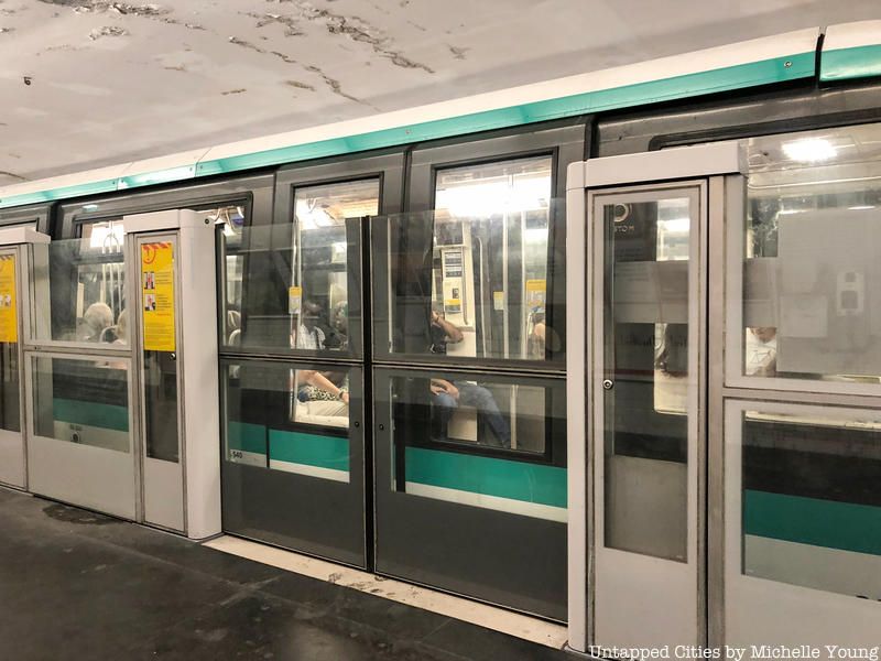
Compared to the seemingly encyclopedic knowledge required to navigate New York’s or London’s networks, the Paris Metro is a children’s picture book. Though utilizing a similar nomenclature to New York’s, Paris’ network was always conceived as such, and therefore is renowned for its orderly system of numbers (1-14) and dynamic visual style. Due to a long and entangled history with the French national government, the Parisian government resisted for half a century integrating the system with the national rail network until the late 1890s. The city went as far as secretly designing the infrastructure at narrower gauges (the width between rails) and designing rolling stock to operate on the right track, opposite the national rail’s left-of-way tradition.
Population booms of the mid 20th century saturated the world’s densest network of stations, and the city finally opened up to the idea of incorporating the national rail network within the city’s limits. Enter the RER (Réseau Express Régional), a pay-per-destination quasi-urban rail network lettered A through E that operates with seamless transitions to the Métro in Paris while acting like a commuter rail system beyond. While confounding to the novice user (these trains run on the left), the network is designed in similar streamlined fashion, as each branch line is numbered (e.g. A1). Odd and even numbers were at once generally relegated to operating on branches west or east of the city, respectively, though this system was phased out by the SNCF, who operates Lines C, D, and E.
Despite the network’s orderly nature, abandoned and unused stations remain hidden throughout.
Tokyo subway (and Metro): The most renowned system to fully embrace proprietary eponym, the Tokyo “subway” consists of several networks, the two most prominent being the Tokyo Metro and Toei Subway. Imagine that the Subway, PATH, and Staten Island Railway networks were fully integrated (save for having different fare rates, although actually they do) and that they were supplemented by three other systems, one of which were a monorail.
Lausanne Metro (AKA, Baby Metro): The world’s smallest city by population (roughly 125,000, or one-fifth of Paris’ Line 1’s daily ridership) to be served by a fully operational rapid transit system is Switzerland’s first fully operational rapid transit system. One of the lines is considered heavy rail, while the other acts more like a light rail. Other than that, you can’t mess up understanding this system.
Pyongyang Metro: Tired of MTA fair hikes? North Korea’s only network is the world’s cheapest, at roughly USD $0.03 a trip. You’ll just have to get used to the portraits of Kim Il-sung and Kim Jong-il in every car.
Bus Rapid Transit: Not specific to any city, bus rapid transit (BRT) has become an increasingly popular means of expanding public transit networks at low costs with minimal infrastructural upgrades. No, they don’t run on rails, but the best networks will incorporate dedicated right-of-way (or grade separated) lanes, pre-boarding payment, and platform facilities offering access to buses running in both directions along the route. Read more about why New York City’s SBS line is not a real bus rapid transit system, despite what the politicians say.
For a fun challenge, try to break the world record for riding through every subway station in NYC. Get in touch with the author on his Twitter or his website, thisisnotreale.com
Subscribe to our newsletter