Last-Minute NYC Holiday Gift Guide 🎁
We’ve created a holiday gift guide with presents for the intrepid New Yorker that should arrive just in time—


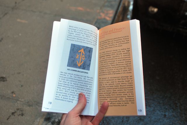
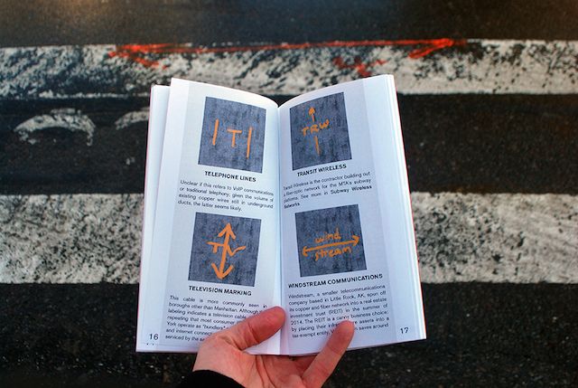
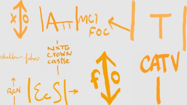
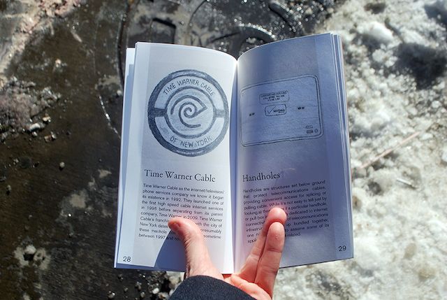
Where do the cryptic designs on manhole covers come from? What is the meaning of those spray-painted neon symbols in the street? With this field guide in your pocket, the answers are close at hand. Ingrid Burrington’s Networks of New York: An Internet Infrastructure Field Guide is sure to change the way you look at the concrete jungle. (And the internet.)
The guide is a smart off-screen companion piece to the author’s website Seeing Networks, an ongoing research project into the physical implementation of internet service in New York City. The guide draws on public information from sources such as the NYC.gov Streetworks Manual which, while public, are far from digestible. Making this sort of information accessible is a big part of the project’s appeal.

The guide got its start through the artist’s work as a resident at Eyebeam, and hand-bound copies are on display currently at their annual showcase through February 21st.


As public interest in the structure and control of the internet as a ‘service’ has been growing in tandem with the outcry surrounding government surveillance and net neutrality, Burrington’s field guide has gathered more attention than she anticipated. At least, enough to merit an offset printing of the book which we recommend pre-ordering.

Learn more about how NYC works in our Cities 101 column. Learn about mapping bacteria in NYC subway stations and more from our Fun Maps Column.
Subscribe to our newsletter