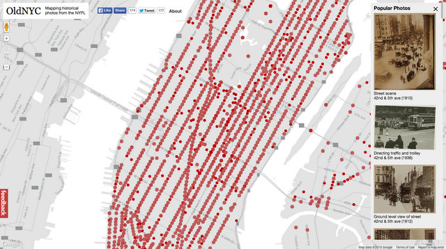
Who doesn’t love old maps or vintage photos? What about a robust tool that will meld both? Back in February New York Public Library labs released their Space/Time Directory the platform that will eventually host the 21,000 strong old map collection, all to the same scale so you can literally slide through time. Now, they’ve launched OldNYC, a platform that maps the photographs from the library’s Milstein Collection. It’s goal, the website states: “to help you discover the history behind the places you see every day.”
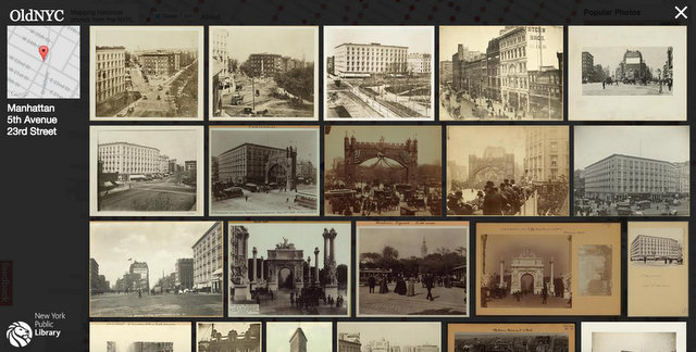
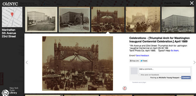
Click on one of the red dots and an array of photographs geolocated to that area will pop up–we’ve chosen Madison Square Park because we love those epic victory arches that stood as temporary monuments. Click on a photographs and details about the image pop up.
A whopping 30,000+ photographs, out of the 54,000 images in the Milstein Collection, come from one photographer–Percy Loomis Sperr–who worked from the late 1920s to early 1940s. What’s even more incredible is that he worked on crutches, due to an attack of meningitis he had as a child. As The New York Times reports, very “little is known about him”: but what is known is that he was born in Columbus Ohio, received his degree from Oberlin College and moved to New York hoping to be a writer. He became more well-known for his photography and later became the official photographer of the City of New York. He was a very journalistic photographer, stating
“My own interest is rather in the story than in the picture. It is the picture which tells the story. As literally as possible, I would use the ‘universal language’ and ‘say it with photographs.’ The story which interests me is one which lends itself to unlimited photography –the tale of the City of New York.”
Love vintage photographs? See 10 surprising photographs of Broadway from the new book Broadway by Untapped Cities author Michelle Young.
