NYC’s Forgotten ‘War on Christmas Trees’
Discover how an obscure holiday crackdown affects festive street vendors today!


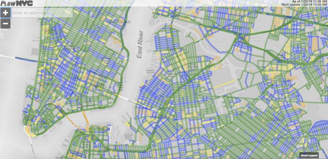
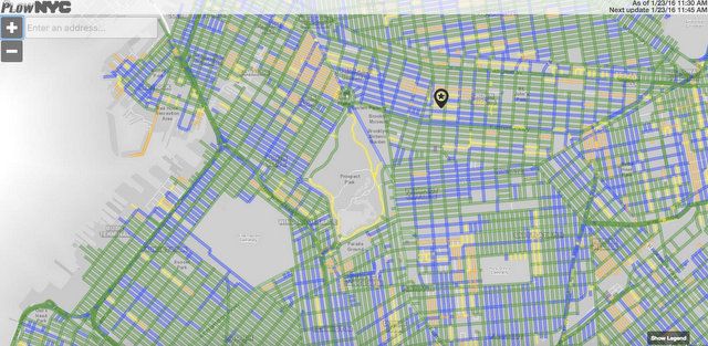
We hope that you are all safely ensconced at home, viewing Blizzard Jonas from your window like we are from Brooklyn. But if you’re like us, you might have plans sometime today too (we’re headed to the Metropolitan Opera tonight). NYC.gov has a useful map, PlowNYC, tracking real-time street plowing in New York City.
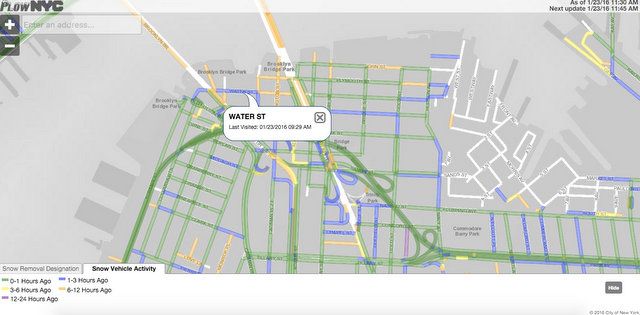
The colors are green for plowing up to an hour ago, blue for 1-3 hours ago, yellow for 3-6 hours, dark yellow for 6-12 hours ago, purple for 12-24 hours ago. You can click on a street and it will tell you time that a plow last visited, and the system updates every 15 minutes.


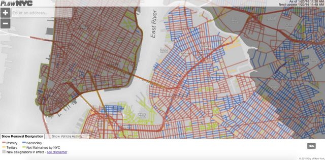
Click on the legend, and then on the tab that says “Snow Removal Designation,” and you’ll see what type of designation your road is: primary, secondary or tertiary. Some streets are plowed by private vendors, which might be using vehicles that are not GPS equipped and not updating on the map.


You can also check out the New York Times graphic on how much snow has fallen so far.
Next, read about out the blizzard that crippled New York City and led to moving the electrical wires underground or the history of snow removal in NYC.
Subscribe to our newsletter