Last Chance to Catch NYC's Holiday Notalgia Train
We met the voices of the NYC subway on our nostalgia ride this weekend!


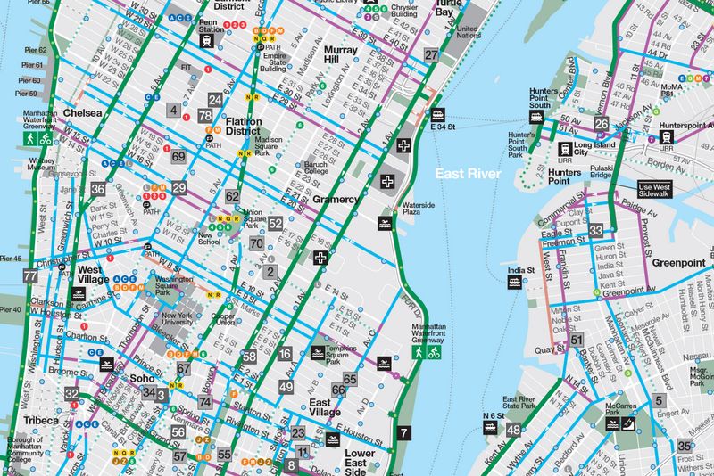
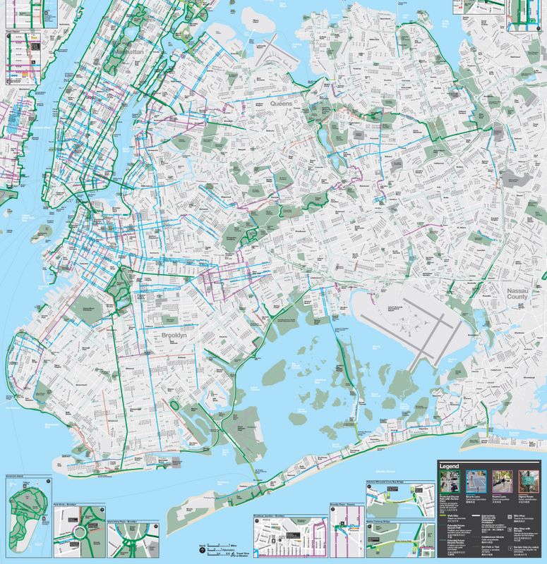
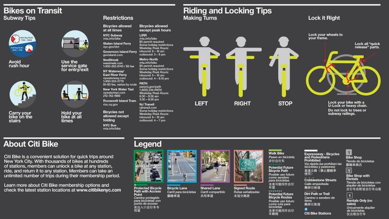
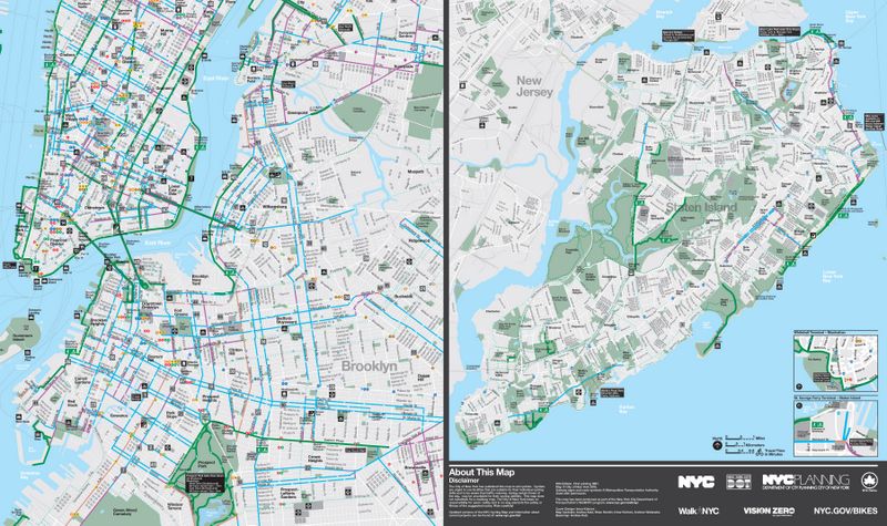
The New York City Department of Transportation has released its annual bike map, both digitally and with a circulation of 375,00 hard copies that will go in bike shops, libraries and schools throughout the five boroughs. Gothamist reports that the map has 70 miles of new or upgraded bike lanes and that the DOT has promised 15 new miles to come this year. The map also comes with a list of bike shops, biking tips, and a legend that shows different types of bike lanes (protected, shared, and more), as well as the location of Citi Bike docks.


Of course, there are already those calling out mistakes, which the DOT is aware of. DNAInfo reports that the Central Park car-free hours are listed incorrectly, because in fact cars have been banned all together on West Drive north of 72nd Street. Prospect Park has a similar issue.


Next, read about 10 tips for biking in NYC written by a bike messenger.
Subscribe to our newsletter