Last Chance to Catch NYC's Holiday Notalgia Train
We met the voices of the NYC subway on our nostalgia ride this weekend!


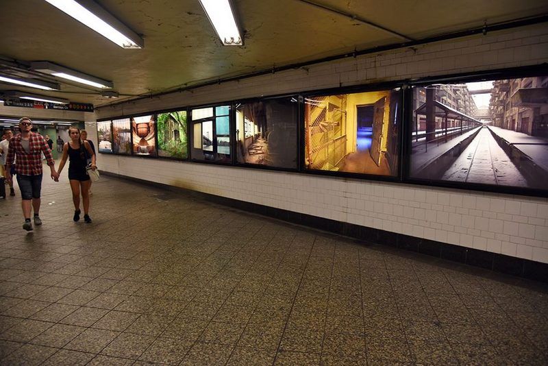
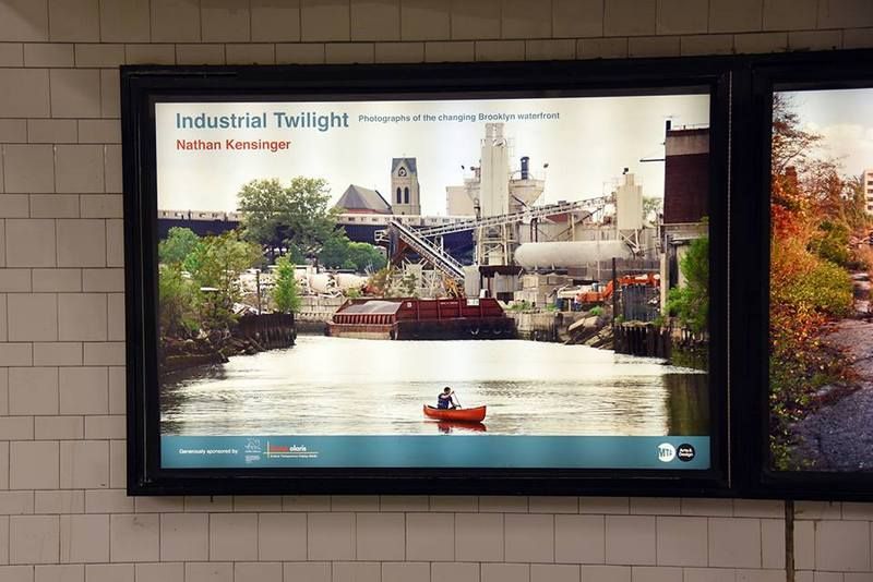
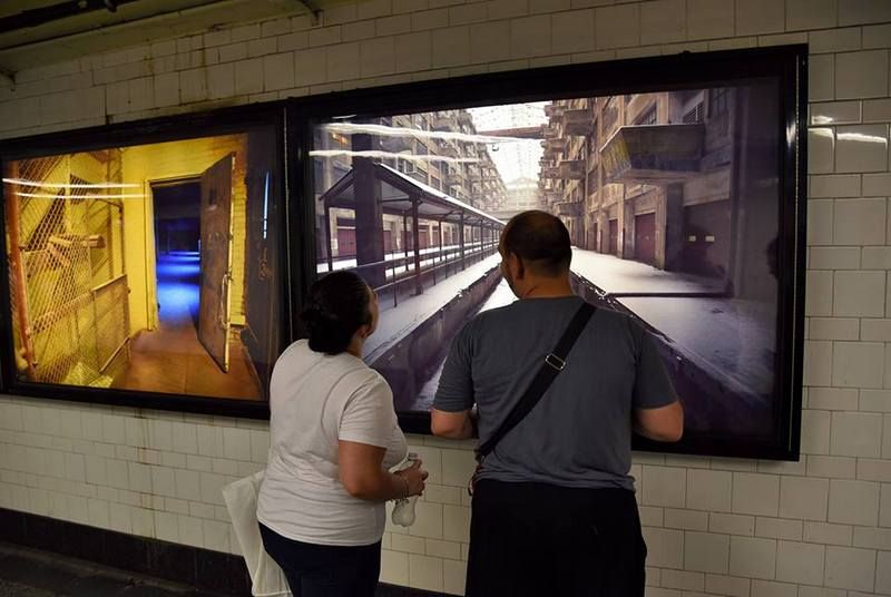
Photographer Nathan Kensinger, whose photography and projects have appeared on Untapped Cities and websites like Curbed NY, has a new installation inside the Atlantic Avenue-Barclays Center subway station that looks at the changing Brooklyn waterfront. Entitled Industrial Twilight, the large format photographs art part of the MTA Arts & Design Program and depict locations Kensinger has documented over the last decade.

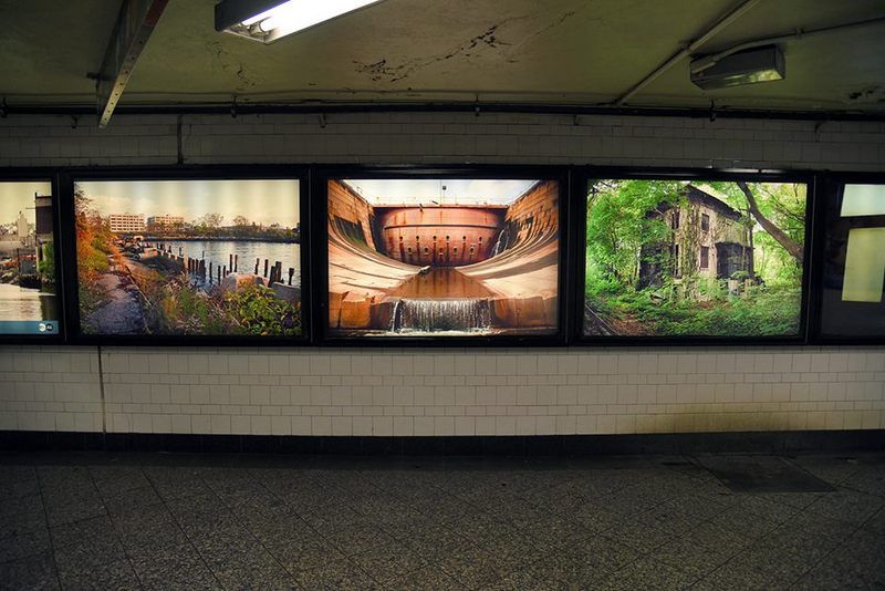
The series of five foot wide photo transparencies includes locations that are literally disappearing as we speak, like the stately abandoned mansions of Admiral’s Row at the Brooklyn Navy Yard to places still in active use and reuse – like the Brooklyn Army Terminal and the dry docks in the Navy Yard. The Gowanus Canal, with canoer, barge and elevated subway line captures the contradictory uses that have come to define the industrial landscape.


There’s also a waterfront spot, with decaying piers and haphazard overgrowth, indicative of the type of disappearing landscape that Kensinger has focused on in recent years with his project, Chance Ecologies. There was a multi-month explorative series last year on the last wild landscape of Hunters Point South in Queens and a Chance Ecologies residency at the Studio in the Park at the Queens Museum.
Industrial Twilight will be on display at Atlantic Avenue-Barclays Center subway station for the next year.
Next, check out the Top 10 Secrets of the Brooklyn Army Terminal and go up close and personal with the dry docks at the Brooklyn Navy Yard.
Subscribe to our newsletter