Last Chance to Catch NYC's Holiday Notalgia Train
We met the voices of the NYC subway on our nostalgia ride this weekend!


“Working on the Bronx stations was interesting. I honestly never really went out there too much, so I was seeing a lot of the stops for the first time. I wasn’t sure what type of signages I would see. I knew a majority of the lines were above ground, but there was still some intricate ones that I came across. So far I’ve been able to launch a new borough each year for the past three years, and I’m looking forward to hopefully wrapping up the last borough, Queens, by the end of next year and completing NY Train Project.”

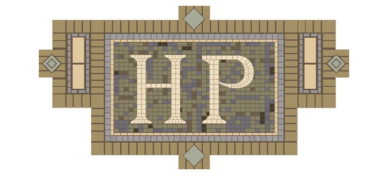
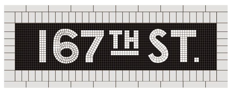
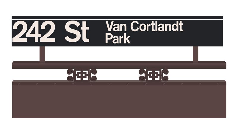
Chang is a graphic designer and founder of the firm Same Tomorrow. He’s shared some of the mosaic illustrations with us here, but the most fun is navigating the NY Train Project website yourself. Its interface, arranged by line and borough, makes it feel like you’re moving between stations and Chang includes fun facts with each station. For example, 242 St.-Van Cortlandt Park is the only elevated Victorian Gothic terminal station, he writes. Pelham Parkway is the only subway station not built to function as a subway, Whitlock Avenue is across from the abandoned Westchester Avenue station, East 143rd Street is the least used station in the Bronx, and many more very “untapped” like facts.


See more of the NY Train Project on Manhattan and Brooklyn.
Subscribe to our newsletter