

Much of Manhattan’s natural landscape was flattened as the city grew northwards and conformed to the street grid defined by the Commissioner’s Plan, but there are still some notable places to take in the Manhattan schist – natural bedrock formations both above and below ground.
1. Deep Below Grand Central Terminal

On the way down to the secret and mythical M42 basement in Grand Central Terminal, a large portion of the Manhattan schist is literally touchable alongside the staircase. The juxtaposition of the man made and the natural here, so many levels below ground, highlights the sheer feat of construction that Grand Central was, both above and below ground.

When workers get to the bottom of this staircase, the entrance to M42 will be before them. The M42 basement (also known as Substation 1T and 1L) played an important, clandestine role in World War II. The original converters, which are no longer in operation, powered much of the New York Central Railroad and were a target for German spies who wanted to sabotage rail movement on the East Coast. The M42 basement was so secret that you risked being shot on site if you went down there.
2. Tunnel into Penn Station, Hudson Yards
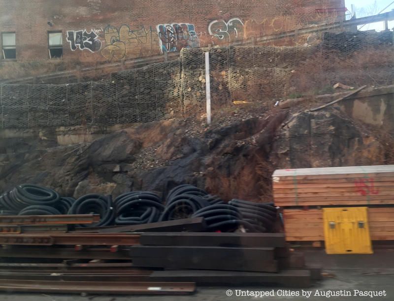
When trains enter Penn Station from the north or west, they take one of the tracks within Hudson Yards to enter the station. If you keep on the lookout through this dark corridor, packed with train infrastructure and equipment, you’ll see outcroppings of Manhattan schist that were never cleared away.
3. Morningside Park

The rocky terrain of Morningside Heights is full of rocky Manhattan schist, some which dates to over 30 million years ago. The area was previously settled by the Harlem Plain Indians, who called the area Muscoota, and was later settled by the Dutch and called Vandewater Heights, named after a Dutch settler. You can still find the glacial outcroppings throughout Morningside Park however – some of it even supports PS 36.
If the Commissioners of New York City could have had their way, the Manhattan street grid would have extended through what is now Morningside Park. But the park is one of the many exceptions to the Manhattan street plan of 1807. In the late 1860s, the Commissioner of Central Park, Andrew H. Green, put forth the idea for Morningside Park, arguing that it would be very costly and very inconvenient to extend the Manhattan street grid over this topography. Green wrote that “the ridge of rocks is almost vendureless, breaks so abruptly towards the east as to render the streets that have been laid over it in rigid conformity with the plan of the city, very expensive to work.”
4. Central Park
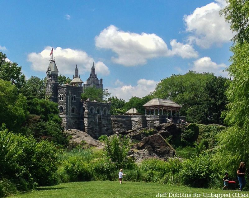
Central Park is probably one of the best locations to take in Manhattan schist (and Hartland Schist) both in terms of large outcroppings, like at Belvedere Castle and Umpire Rock near 63rd Street and Central Park West, and glacial striations. As described by the Central Park Conservancy:
The schist was formed from sedimentary shale by intense subterranean heat and pressure some 450 million years ago in the Paleozoic Era. While the schist of Umpire Rock was being formed, it was twisted and folded by upheavals in the earth’s depths. Minerals scattered in the former shale were fused into crystals of quartz, mica, feldspar and garnet within the schist. Lighter-colored veins of granite and coarser granite pegmatite are visible across the grain. These inlays were actually once liquefied rock from the earth’s interior before they were injected into fissures in the schist and cooled into bands of solid rock.
Another fun thing to look for, while in search of schist, is the bolt (pictured below), believed to be one of the original survey bolts from when the Commissioner’s planned out for Manhattan. Central Park was not in the original plan, so street intersection points may have been marked but still exist because no street was ever built there. The bolt is in the park, inserted in schist, but the exact location is kept a secret for fear that it will be stolen or destroyed.

5. Fort Tryon Park
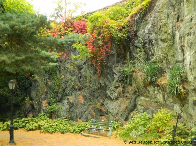
Fort Tryon Park, designed by the Olmstead brothers, is another great place to discover Manhattan schist, The Landmarks Preservation Commission writes that “36,000 cubic yards of gray Manhattan schist that were removed were employed in the construction of the architectural elements of the park.” Places in particular to look out for are the tunnel between the Henry Hudson Parkway and the Coisters, the base of the Cloisters, along with walkways that have provided opportunities for bouldering.
6. Fort Washington Park
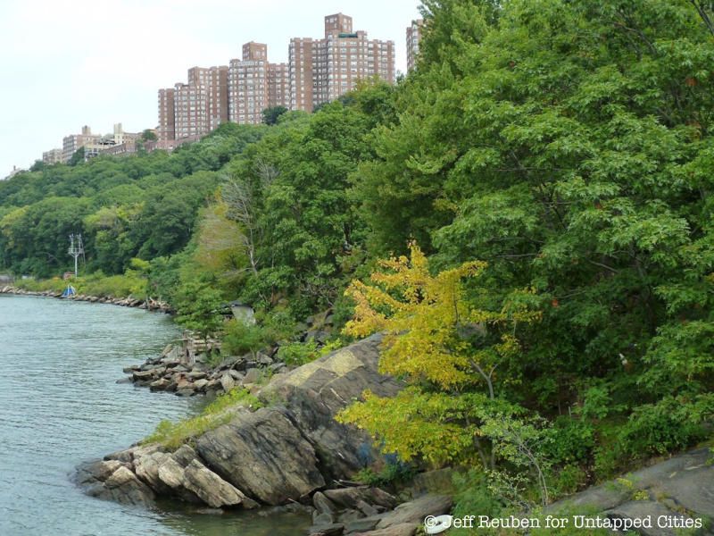
Fort Washington Park is full of fun finds, including exposed Manhattan schist leading into the Hudson River and atop Ceder Point, the remnants of a castle, the ruins of the New York Central Railroad, mysterious stone ovens and the adorable Little Red Lighthouse.
7. Mitchel Square in Washington Heights
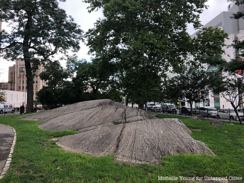
If you don’t want to go all the way into one of the city’s parks, you can find Manhattan schist in a pocket park in Washington Heights at Mitchel Square, named in honor of Mayor John Puroy Mitchel, known as the Boy Mayor. He was elected to office at age 34, the second youngest in New York City history but died a tragic death just short of his 39th birthday in a military aircraft training accident.
8. Highbridge Park
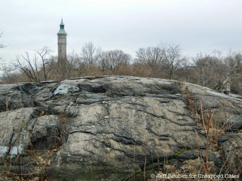
In High Bridge Park, you can find exposed Manhattan schist as well as remnants of the Croton Aqueduct. Don’t miss the chance to check out the pedestrianized High Bridge, where there is more schist in the approach, and the accompanying stone water tower.
9. Inwood Hill Park
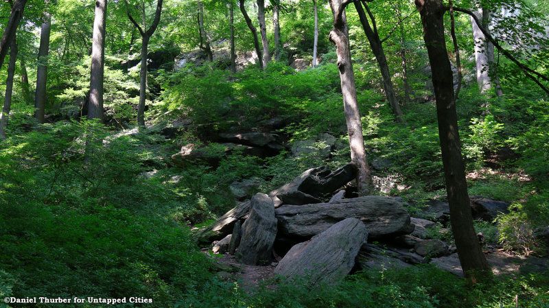
In the 17th century, the Lenape Native American tribes inhabited the area where Inwood Hill Park is today, using the park’s rock caves as seasonal living quarters, where they could fish and harvest shellfish from the nearby river. They stayed in the area until 1643, when they were attacked by Mohawks, forcing them to leave behind various items, including pottery, weapons and tools. The caves were later found to contain remains of old campfires and artifacts.
10. Bennett Park
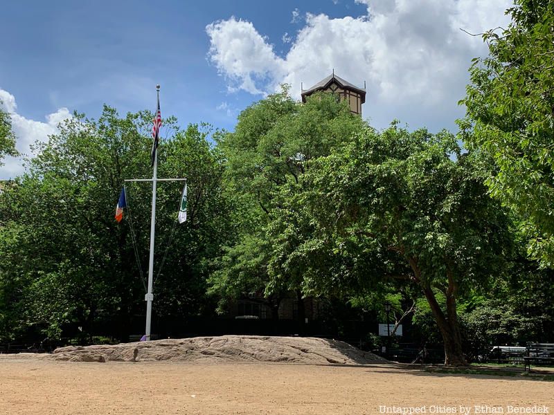
Bennett Park, named for newspaper man James Gordon Bennett who created the New York Herald and purchased the land in this area in 1835. Bennett Park was the site of Fort Washington and is the highest natural point in Manhattan at 265 feet above sea level. The stone marker that denotes this is embedded into the rock.
Bonus: Fordham Gneiss on the Harlem River Ship Canal
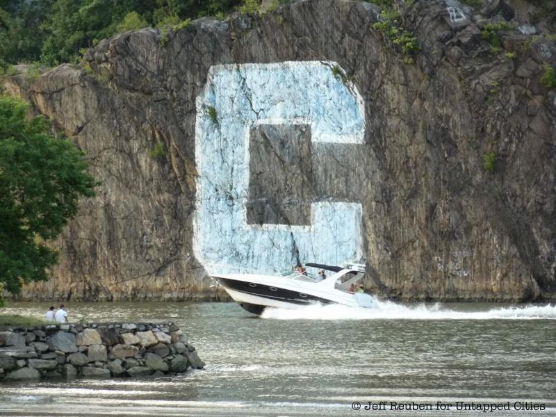
Part of the Fordham Gneiss (marked ‘C’ for Columbia) is visible on the Harlem River Ship Canal
The billion-year-old Fordham Gneiss, said to be the oldest bedrock feature in New York City and one of the oldest in the world, is visible from Inwood on the Harlem River Ship Canal–where it is marked with a ‘C’ for Columbia University–in Fordham, and all the way north until it reaches Van Cortland Park.
Next, discover the Top 10 Secrets of Central Park.


