How NYC Subway, LIRR, and Metro-North Responds to Snowstorms
Snow blowers, throwers, plows, and more specialized equipment help keep NYC moving in the snow!


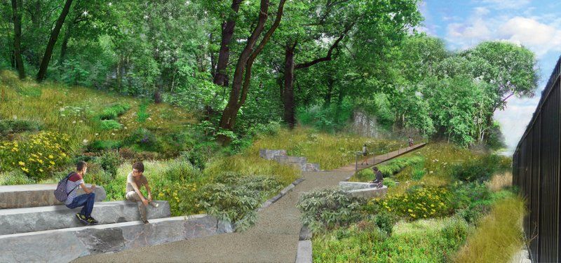
Renderings of the Queensway by DLANDstudio Architecture + Landscape Architecture, featuring outdoor classrooms
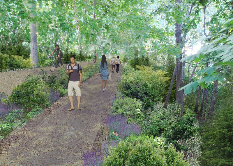
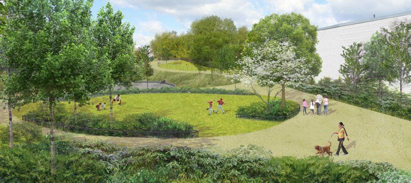
We’ve been hosting behind the scenes tours onto the unused train line that The Trust for Public Land and Friends of the QueensWay hope to turn the into the Queensway, a new community park. In another step forward for the Queensway, new renderings for the first phase of the project by DLANDstudio Architecture + Landscape Architecture, the firm also behind Sponge Park on the Gowanus Canal, have been released, following the launch of the design phase one year ago.
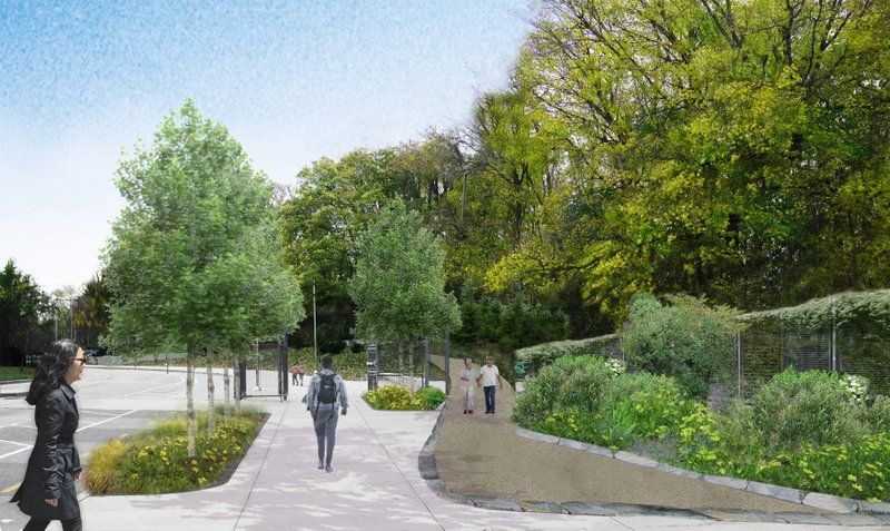
This first section, dubbed the Metropolitan Hub would run from Metropolitan Avenue south to Union Turnpike at the opening of Forest Park, an area currently very disconnected for pedestrian access, surrounded by strip malls and recreational facilities. Next to three schools of the Metropolitan Education Campus, the section will include learning gardens and outdoor classrooms expanding upon already existing facilities.
 Metropolitan Hub entrance
The latest renderings were created with input from local residents through community workshops and meetings, and the process included a site analysis and survey. In the next year, construction-ready working drawings will be made, offering more detailed information the features of the proposed linear park.


Not without controversy, particularly those that seek to turn the rail line back into an active transit way, the Queensway project continues to move forward, with support from lawmakers like New York State Assemblyman Andrew Hevesi and funding – $2 million raised to date – through private funds and New York state grants.
Subscribe to our newsletter