


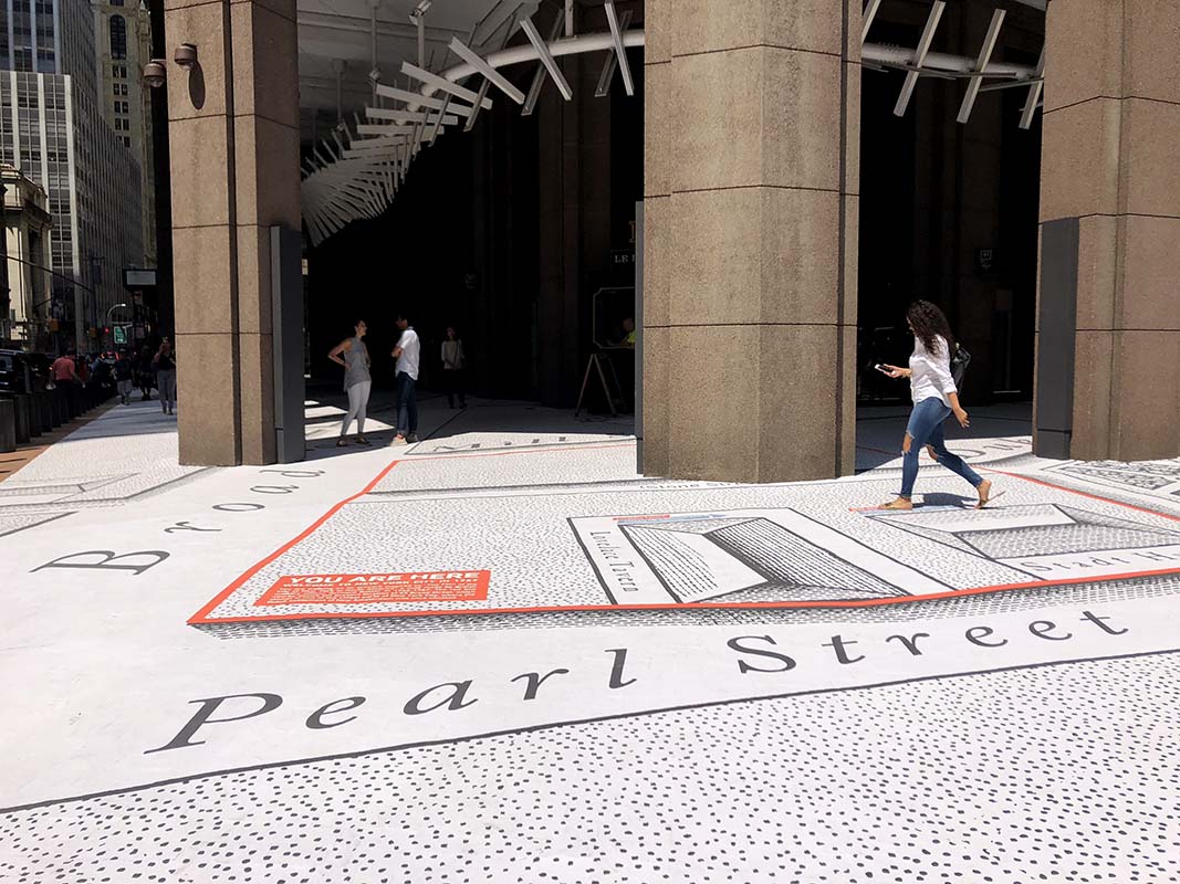
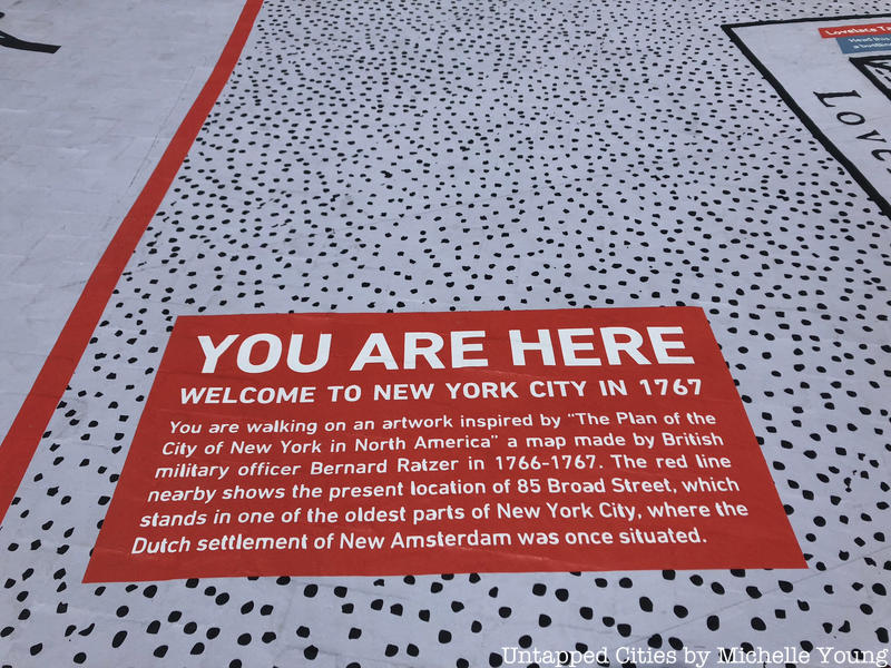
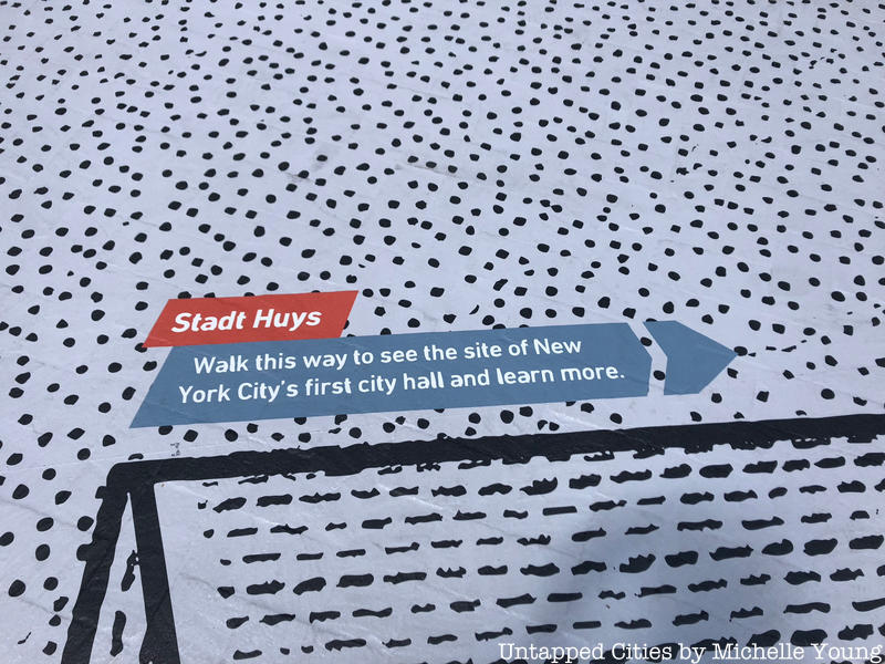
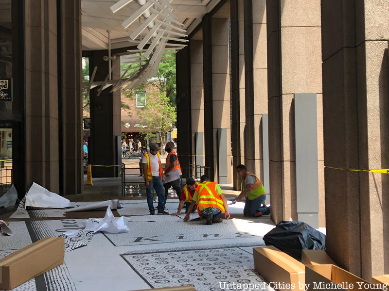
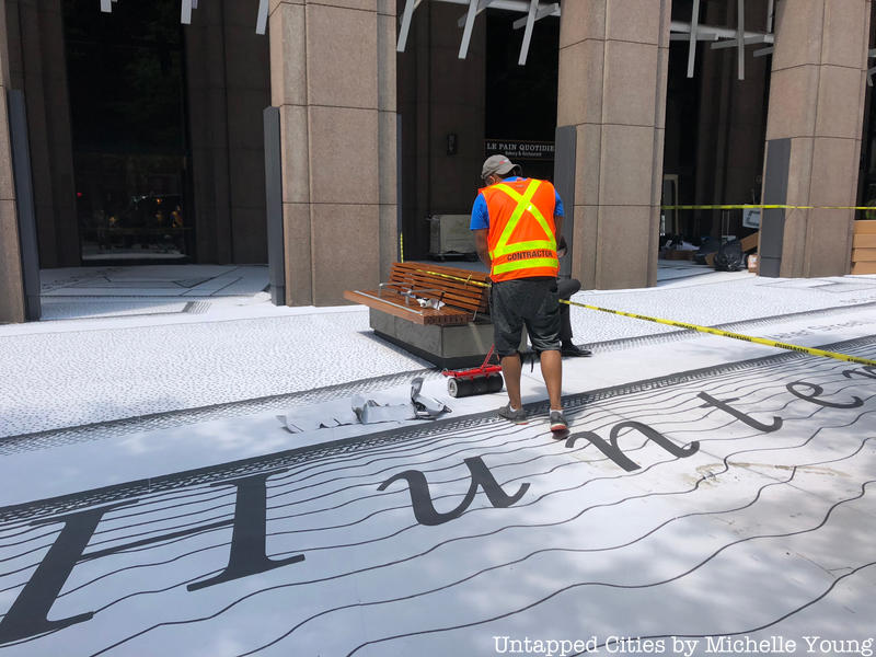
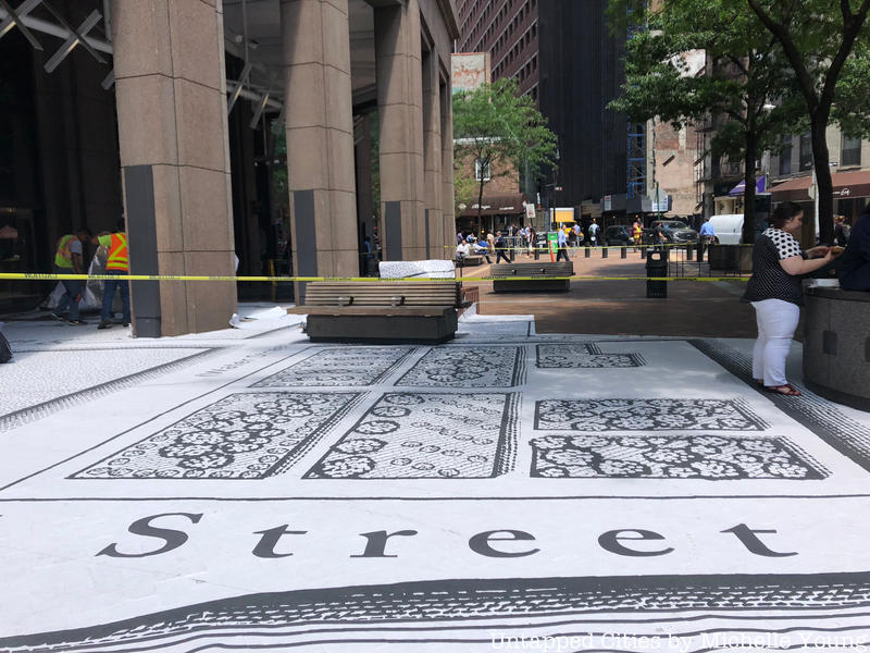
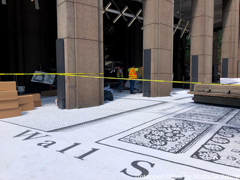
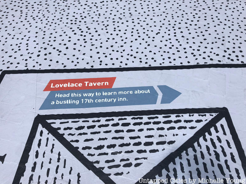
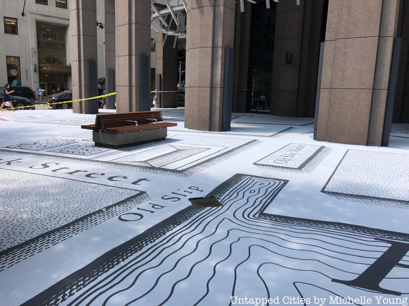
At 85 Broad Street, a building full of historical secrets if you know where to look, is in the midst of installing an impressive piece of artwork on the sidewalks encircling the building in Lower Manhattan. It’s inspired by the 1767 map, “The Plan of the City of New York in North America” made by British military officer Bernard Ratzer from 1766 to 1767. Under this map, our readers may recall, there’s a yellow brick outline that marks the walls of Stadt Huys, the original city hall, one of many signs of Dutch New Amsterdam that still remain.
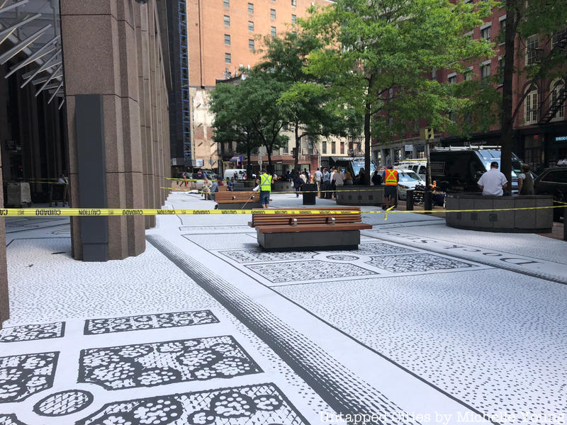
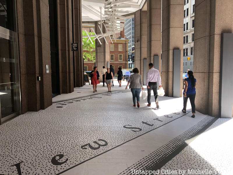
The map, designed by FXCollaborative, made by Jessup Manufacturing Company and printed by National Marker, is made of a foil-backed proprietary material called Asphalt Art, and laid down piece by piece. Each panel measures 4’ x 13’, covering that over 32,000 square feet. On our visit yesterday, almost half of the installation was finished with the total installation taking eight days. Construction workers told us that while the installation is not permanent, it should be up until this fall. Pedestrians of all ages were stopping to read the information, chatting away about history as they walked away.
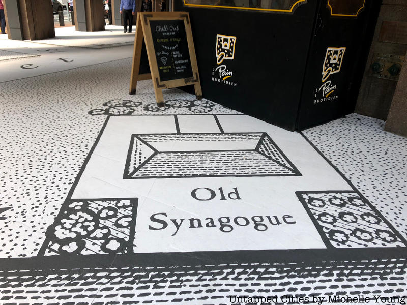
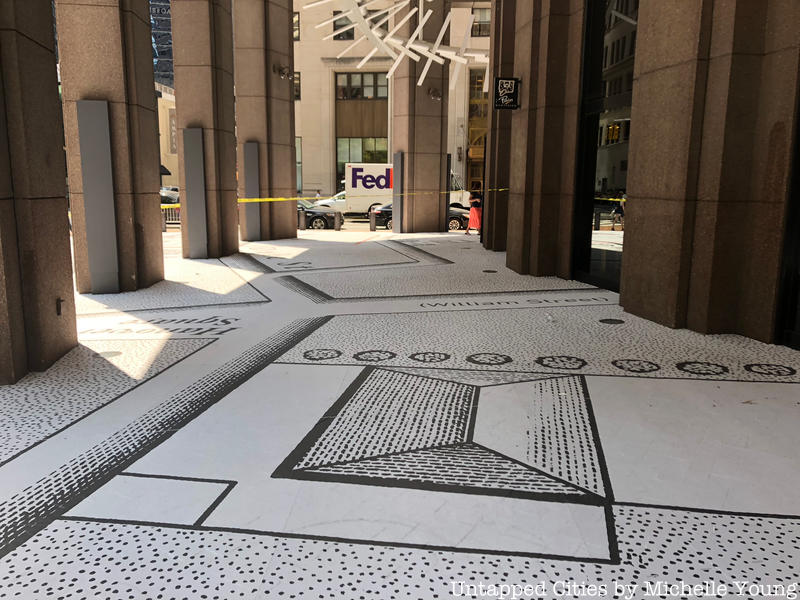
Fun things of note on the map besides Stadt Huys and Lovelace Tavern, where you can still see the archaeological excavation of the tavern through glass, are the now-lost Princess Street, the old synagogue (original the old mill of Dutch New Amsterdam, home to the congregation of the Sephardic Jews who arrived in 1654 from Spain and Portugal), and the old slips of Lower Manhattan.
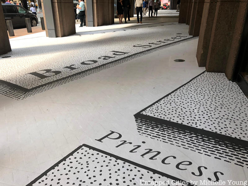 The former Princess Street
You can discover this and more on our tour of the Remnants of Dutch New Amsterdam!