MetroCards to Masterpieces: Meet Artist Thomas McKean
Get a behind-the-scenes look at the work of a local NYC artist who turns MetroCards into works of art!


As you’ve read in our History of Streets column, New York City has a lot of unique street names, from honorific streets to astronaut-named streets to functionally named streets. We just came across a new category: streets with no descriptors whatsoever. In the Malba neighborhood within Whitestone, Queens, there is a street simply named “Boulevard.” The street, in a tony residential area next to Powell Cove, also runs along the waterfront. When the GPS directed us there, we thought initially that it might be a glitch in Google Maps. Stopping at the first intersection coming from the east, we realized it indeed is a one word street name.
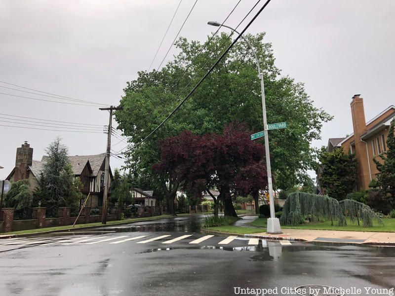
The Malba neighborhood differs from the rest of College Point’s street grid, as there was an even more concerted attempt to mimic a suburban layout of winding streets. The houses are all free-standing and the lots are larger than the rest in College Point, with a zoning designation of R1, which the city defines as “leafy, low-density neighborhoods of large, single-family detached homes on spacious lots.” According to the Malba community website, the planned community was first settled in 1908 and the name is an acronym of the last name of the five developers: George Maycock, Samuel Avis, George Lewis, Nobel Bishop and David Alling. Forgotten New York notes the acronym predates even SoHo or Tribeca. Malba was an early suburban development, intended as a combination of a country house and a city house with an easy commute (there was even a private coach service that would get residents to the train and subway). The Malba website also states that the land was originally part of the old Van Nostrand farm, which would have been located along what is North Drive today.
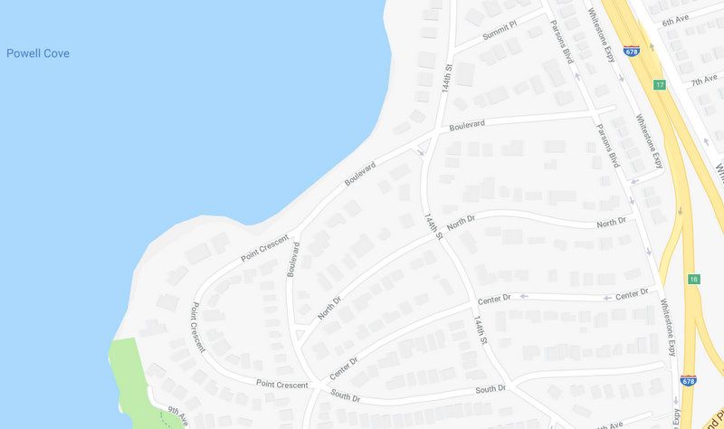
Image via Google Maps
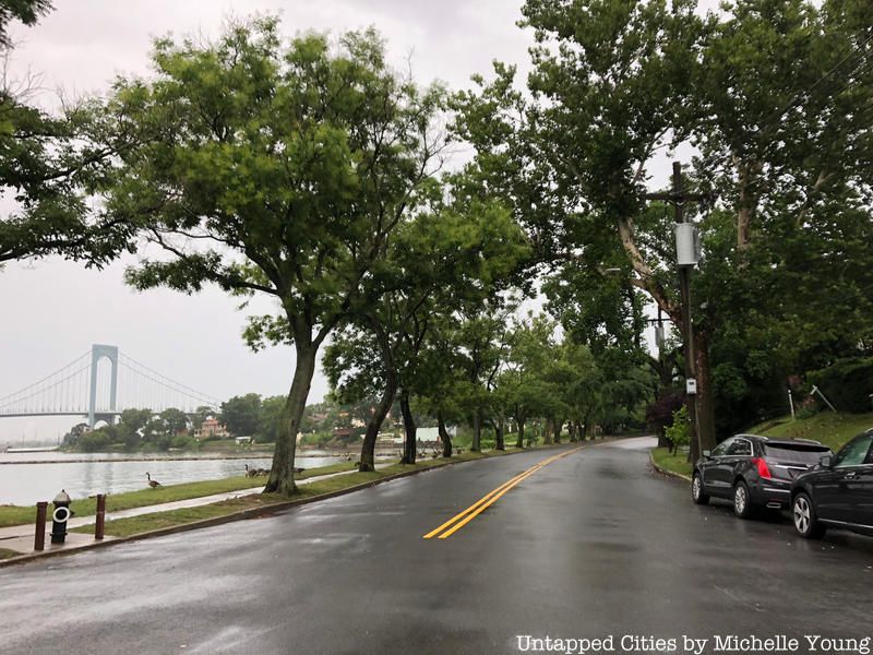
One of the oddest things about the waterfront stretch here is that it is completely privately owned by the Malba Association. A sign along the waterfront reminds visitors of this. The waterfront portion is its own tax lot (Queens Block 4416, Lot 18). According to the city’s records, the vacant waterfront land totals 99,900 square feet, in a strip 35 feet wide. The Malba website states that the developers “reserved title to the streets and to the entire waterfront as a protective reservation designed to preserve the unified character of the community.” The private access allowed the community to have a private beach, boat landing and pier, clubs and other amenities.
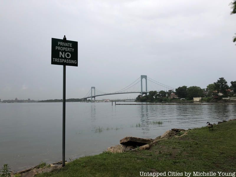
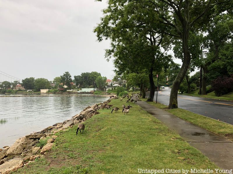
Today, this type of private waterfront access within the five boroughs seems like an outdated holdover from an earlier era. Perhaps one day, Boulevard will get a new name and some of the unprogrammed waterfront space may be accessible to the general public.
Join us on this weekend’s tour of the Remnants of the World’s Fair in Flushing Queens, just south of College Point:
Tour the Remnants of the World’s Fairs at Flushing Meadows-Corona Park
Next, check out the 8 Most Popular Street Names in NYC.
Subscribe to our newsletter