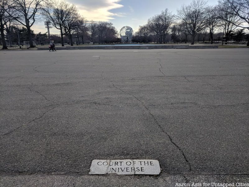
Flushing Meadows-Corona Park in Queens is full of remnants from the two World’s Fairs that took place at the park in 1939-1940 and 1964-1965. Most of the recognizable traces of these events, like the New York State Pavilion and the Unisphere, are leftovers from the 1964/65 fair, but as you walk through the park looking up at the Pavilion’s towers and circling the fountains of Unisphere, you are walking on paths laid out for the first World’s Fair in 1939/40. These paths were renamed and used again in 1964/65, and you can still find street markers from that time, in the park today.
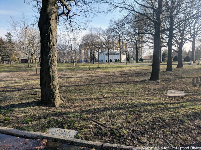
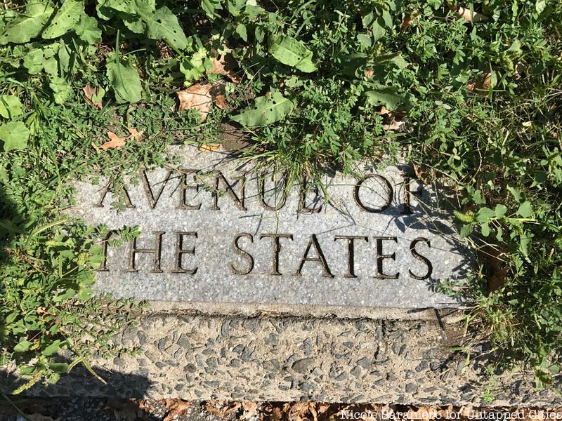
The theme of the 1939/40 World’s Fair was “Building the World of Tomorrow,” and despite it being the largest of any international fair that came before it, the streets were given very nationalist names such as “Congress Street,” “Court of Power,” “Avenue of Patriots,” and “Presidential Row.” Many were named after prominent American figures too, like “Jefferson Place,” “Washington Square,” “John Jay Street,” and “Hamilton Place.” You won’t see the remnants of these street names in the park today, but you will see street markers emblazoned with names given during the 1964/65 World’s Fair. The 1964/65 theme was “Peace through understanding in a shrinking globe and in a expanding universe.” Therefore, you will see markers for streets like “Court of the Universe,” “Avenue of Science,” and “Astronaut Court.”
The paths and walkways that snake through the park today were set down for the 1939/40 World’s Fair by landscape architect Gilmore D. Clarke. Clarke joined the Board of Design for the 1939/40 New York World’s Fair in 1935 after already establishing himself as a famous landscape architect who served on the Architectural Advisory Board for the United States Capitol and the New York State Council of Parks as well as the New York City Park Department, and worked on projects such as the Central Park Zoo, the Henry Hudson Parkway, Astoria Park in Queens, Bryant and City Hall Parks renovations, Rye Beach Playland, and the Bronx River Parkway.
Clarke designed a geometric, Beaux-Arts-styled plan for the northern section of the fairgrounds where major pavilions, fountains, and the center-piece structures of the Trylon and Perisphere would sit. The plan was a grid of major and minor boulevards and paths radiating out from a central point. Clarke supposedly created this layout as an homage to St. Peter’s Square in the Vatican. The central point of Clarke’s design was the location of the iconic, and now gone, Trylon and Perisphere in 1939/40.
Clarke adapted his landscape design for the second fair in 1964/65. The central point of the radiating paths where the Trylon and Perisphere once stood, became (and still is) the home of the Unisphere, which Clarke also designed. This structured portion of the fairground contrasted with the more naturalistic layout of winding paths and artificial lakes found in the southern portion. The most notable change to the street system between the 1939/1940 and the 1964/1965 fairs was the renaming of the paths.
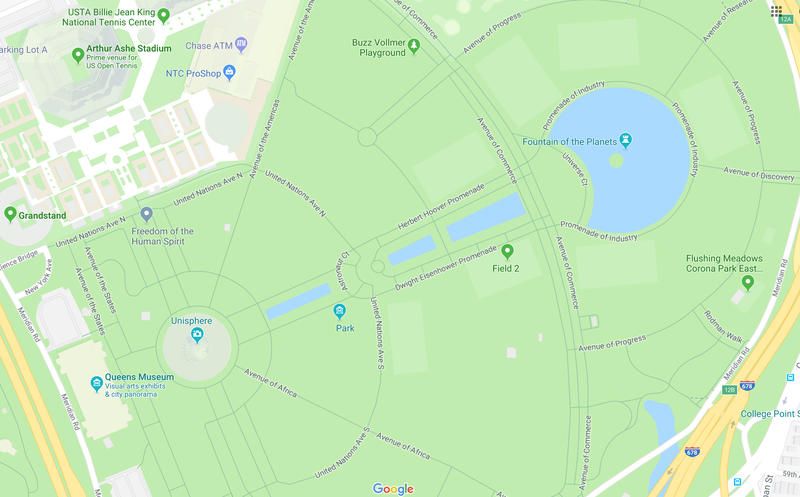
These pathways and signs create a unique hybrid of a relic from the two past World’s Fairs at Flushing Meadows. If you look at a map of the park on Google, you will see that all of the major pathways still retain the same names given to them in 1964 and are in the same arrangement configured in the 1930s.
Remnants of the World's Fairs Tour
See the street markers for yourself and track down more physical reminders of the fairs on our upcoming walking tour.
Nicole Saraniero is the Insider-in-Chief at Untapped New York, leading our Untapped New York Insiders membership program. Nicole graduated from Hofstra University with a Bachelor of Science in Televis