How to Make a Subway Map with John Tauranac
Hear from an author and map designer who has been creating maps of the NYC subway, officially and unofficially, for over forty years!


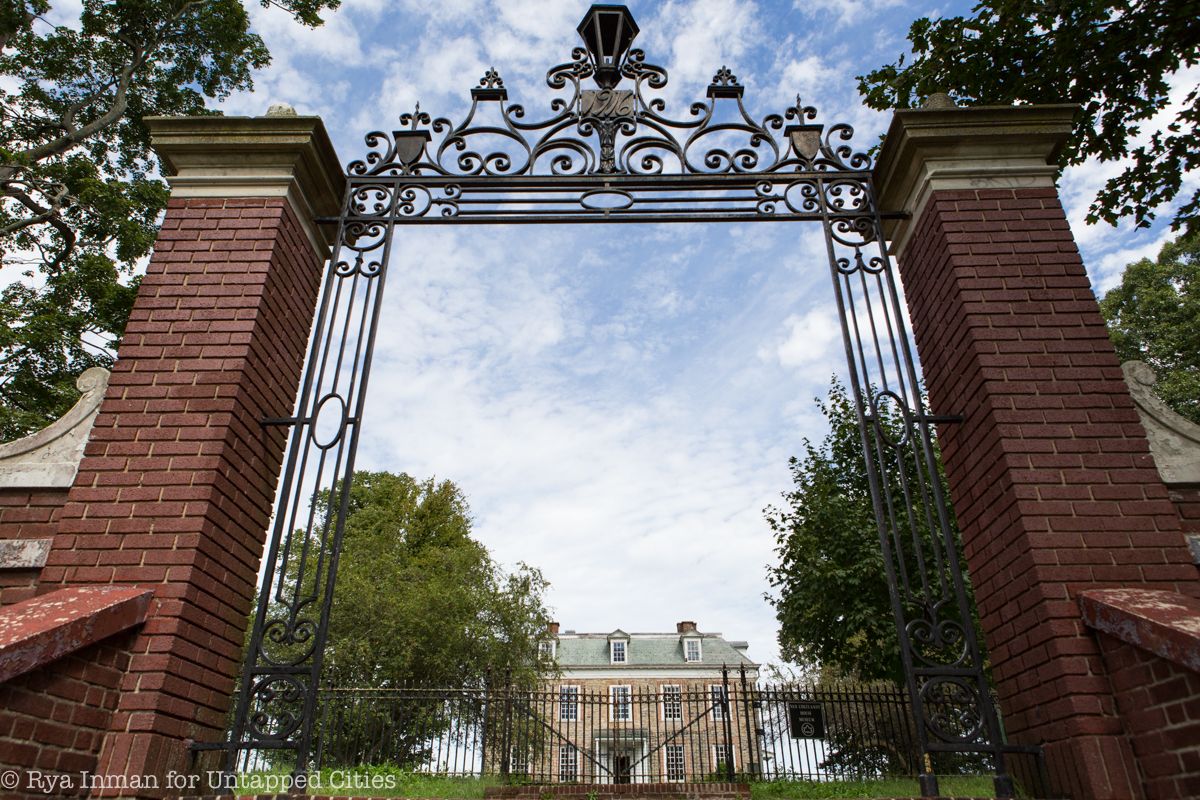
At the northernmost end of the 1 train subway line sits Van Cortlandt Park, one of the largest parks in New York City. Once a plantation belonging to the Dutch Van Cortlandt family of New Amsterdam, the property was acquired by the City of New York on December 12th, 1888. The park has been employed for many more uses than it was originally intended to provide and is now a gathering place for local residents to go hiking, golfing, or cycling, play or watch a wide variety of sports, and learn about local history. Here are ten of the park’s secrets:
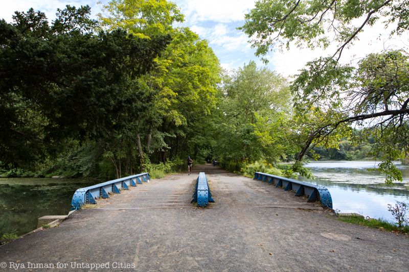
The park’s Putnam Trail crosses the golf course and follows the path of the rails from the old New York & Putnam Railroad line that would carry passengers from New York to Brewster in Putnam County, close to the Connecticut border. From Brewster, connections could be made further northeast to Boston and even to Montreal, Canada. The last passenger train to run on these tracks departed in 1958. The tracks themselves remain today, overgrown and out of use, running alongside the trail.
Forty-five total miles of the former Putnam railroad line are accessible today as a rail trail, starting in Van Cortlandt Park and going all the way to Brewster. You can get more information about this and other rail trails here.

At 1,146 acres, Van Cortlandt Park is the third largest park in New York City, larger than Central Park. The only two parks in the city bigger than Van Cortlandt are Pelham Bay Park, also in the Bronx, and the Greenbelt on Staten Island. When purchased from the Van Cortlandt family, who owned the land since 1691, the pristine landscape was characterized by dramatic ridges, sweeping hills and open meadows. The idea for a park was originally borne out of a concern that the City’s urban expansion was threatening the area’s natural heritage. John Mullally, an influential figure in the community began the New York Parks Association in 1881 to garner support for the initiative to turn the property into a city park.
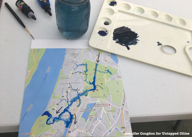
Like much of New York City’s drastically altered urban landscape, beneath Van Cortlandt Park there is the buried Tibbets Brook. It flows from White Plains south to Van Cortlandt Park and disappears in one of the park’s lakes. In 2018, a mobile wetland titled Finding Tibbetts traveled around the Bronx to build support for the Daylighting Tibbetts Brook project, an environmental initiative by City as Living Lab to unearth the now-buried Tibbetts Brook in order to minimize water pollution, reduce flooding, and reinvigorate the surrounding ecosystem. Finding Tibbetts made multiple stops in the Bronx where visitors could see the model cross-section of the brook, with water tubes, a real marsh, and an inhabitable section that invites visitors to enter and reflect on their own position in the environment.
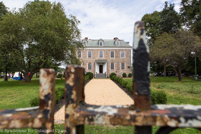
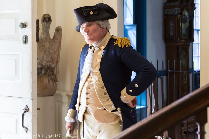
The Van Cortlandt family owned this property since 1691 and the history of landowners dates back to the early 1600’s when the Weckquaesgeck Natives Americans sold it to the Dutch West India Company. Built in 1748, the Van Cortlandt House served as a neutral ground for American and British soldiers during the Revolutionary War. George Washington stayed there on multiple occasions, most famously when he spent the night while on his way down to Manhattan to officially reclaim the island back from the King of England.
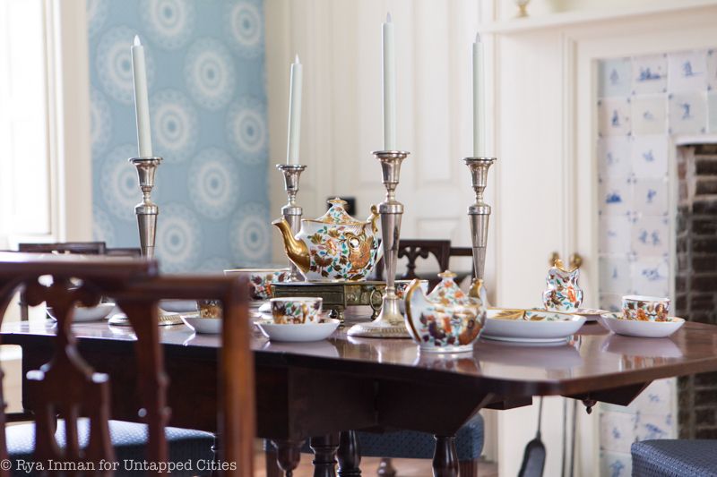
Today, the house sits well preserved on its original site, just south of the Van Cortlandt Park Parade Grounds. Each room is arranged in keeping with the original designs by the Van Cortlandt family, with many of their antiques furnishing the house. The house, which is a part of the Historic House Trust, is open to visitors and holds an annual open house in the autumn.
Until the late 19th century, the Van Cortlandt land was located in the southernmost end of Westchester County near the town of Yonkers, not yet a part of the Bronx. The addition of ‘Little’ to the name was in reference to the junior branch of the Van Cortlandt family who established the plantation there.
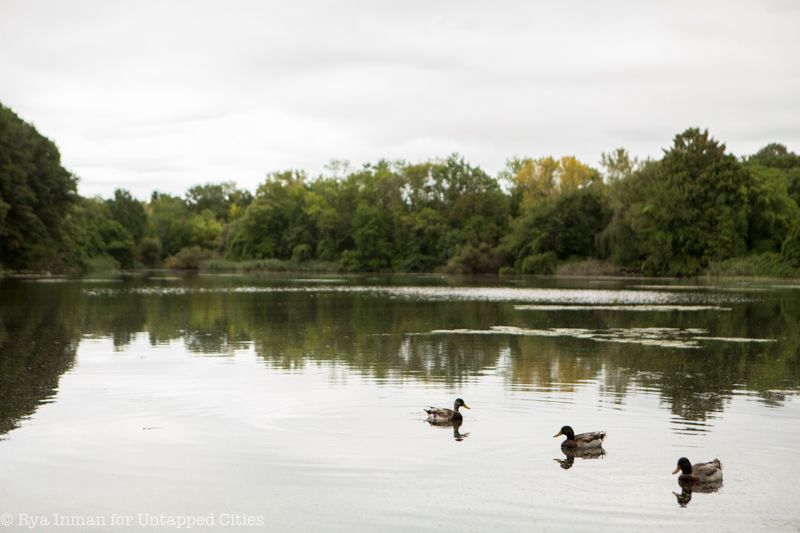
While walking around some areas of the park today, you can still get the sense of this once-untamed wilderness. Cattails and entangled wild flowers line the walking paths and you can follow signs for Tibbets Brook. At the football fields at the southwest corner of the park, which officially opened on September 22, 1939, it is harder to distinguish any signs of this ecological past. Even the water hazards on the golf course – the country’s first and oldest public course – were created using the existing marsh topography. In total, 681 acres of the park is undeveloped natural woodland, and 89 acres is home to urban wetland.
Perhaps the most significant modification the park endured, came when Robert Moses implemented a series of three major highways with the Mosholu and Henry Hudson Parkways built between 1935-37 and the Major Deegan Expressway in 1956 sectioning off the once unified park into seven pieces.
In 2013, a first-ever master plan was developed for Van Cortlandt Park to strategically protect the park’s ecological health and to enhance the park goers experience. As the Van Cortlandt Park Conservancy describes the park, it is “a showcase of the last vestiges in the City of Upstate New York’s native woodlands.”
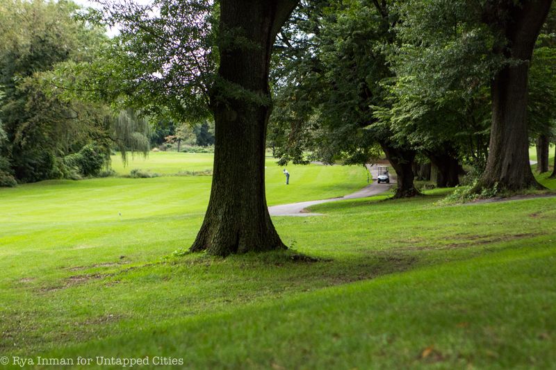
The New York City financial crisis of the 1970s left Van Cortlandt Park in a state of total neglect. Weeds and mosquitos took over the park, homeless people began squatting in the park, and new informal golf rules were developed there. According to the L.A. Times in 1985, “A player was allowed to drop his ball a club length away if it rolled up against an abandoned auto, or, in one case, a boat. To thwart robbers, besieged golfers quit playing in traditional foursomes and instead ventured forth in football-team-sized units. Some players added an extra club—a night stick—or tucked tear gas spray into their golf bags.”
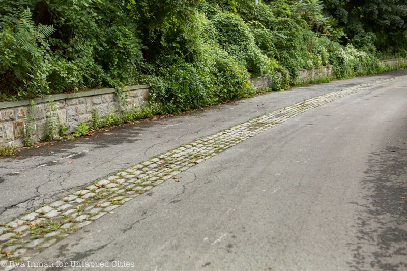
The Old Croton Aqueduct used to run through Van Cortlandt Park until the New Croton Aqueduct was built to replace it in 1893. The Old Croton Aqueduct served New York City from 1842 to 1897. It brought water from the Croton River in Westchester County down to reservoirs in what is now Central Park and Bryant Park. Today, a walking trail through the park follows the route of the old aqueduct, with some remaining features still intact.
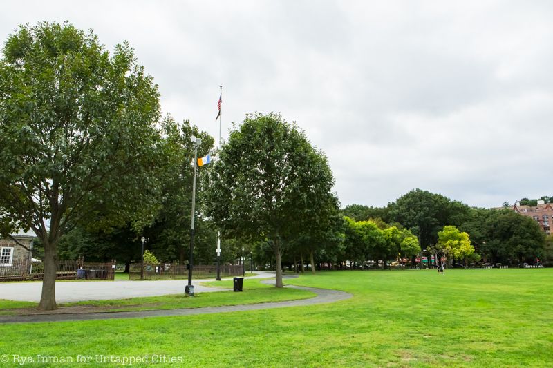
One White Ash and one Crack Willow sapling were recently planted on the south end of Van Cortlandt Park’s Parade Ground. These trees are two of twenty five clones in total, which were planted as part of an effort to preserve and protect eleven tree species of historical and ecological significance to New York City.
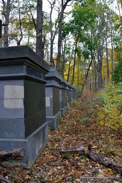
Another feature of the park’s railroad-rich history is the collection of thirteen stone columns that stand along the John Kieran Nature Trail. These sample columns were installed to test materials for the construction of Grand Central Terminal. Each made out of a different material and placed inside Van Cortlandt Park on the orders of Commodore Cornelius Vanderbilt — along the old railroad tracks, no less — to test their durability against weathering. Indiana limestone proved to be the most durable and cheapest to transport along the rail lines.
For decades, the pillars were covered in graffiti, deteriorated, and surrounded by overgrown forest. Earlier this year, thanks to funding from the Paul and Klara Porzelt Foundation, the Friends of Van Cortlandt Park were able to partner with the Municipal Art Society (MAS) for a Grand Central Stones Restoration Project. The goals of the project were to clean and restore the Grand Central Stones, improve landscaping, improve access and carry out long-term maintenance. The work was carried out by the Tatti Art Conservation. As the Friends of Van Cortlandt Park states, “By ‘restoring’ the stones, we had layers and layers of graffiti and paint Parks had used to cover the graffiti cleaned off of them. They are still weathering naturally.”
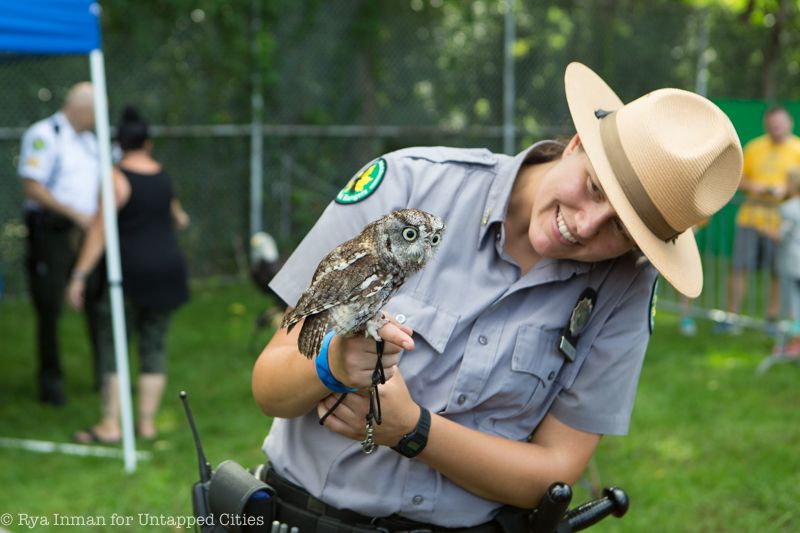
Not only is the park home to more typical events, such as football games, cross country meets, and organized trail hikes, but it also hosts many events for more specialized interests. For instance, each fall the park puts on an annual Raptor Fest to teach nearby residents and nature lovers about the birds of prey one might encounter on a walk through the park. It is presented by the Urban Park Rangers and is free and open to the public. The park also used to be home to an area called the “Gaelic Grounds” that hosted hurling games for the many New York-area teams. Some of the teams’ players even went on to play for the American national team in international competition against the Irish. Today the area is known as Gaelic Park and has hosted Gaelic football games there for over a half-century.
Next, check out the Top 10 Secrets of Central Park and check out the 5 parks larger than Central Park.
Subscribe to our newsletter