
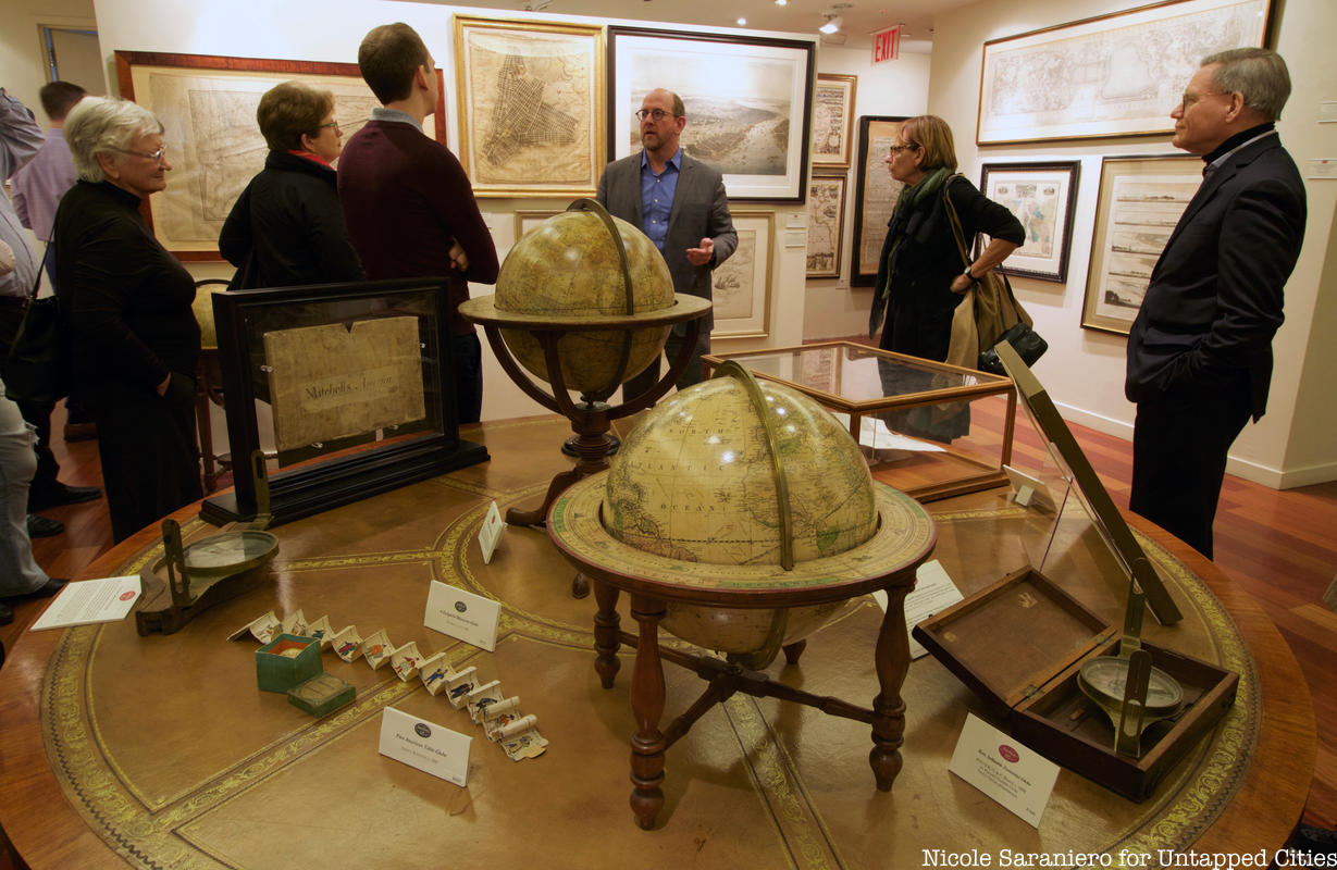
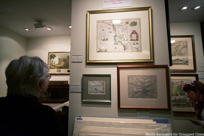
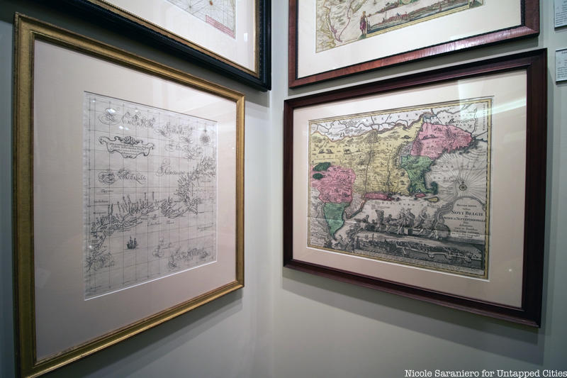
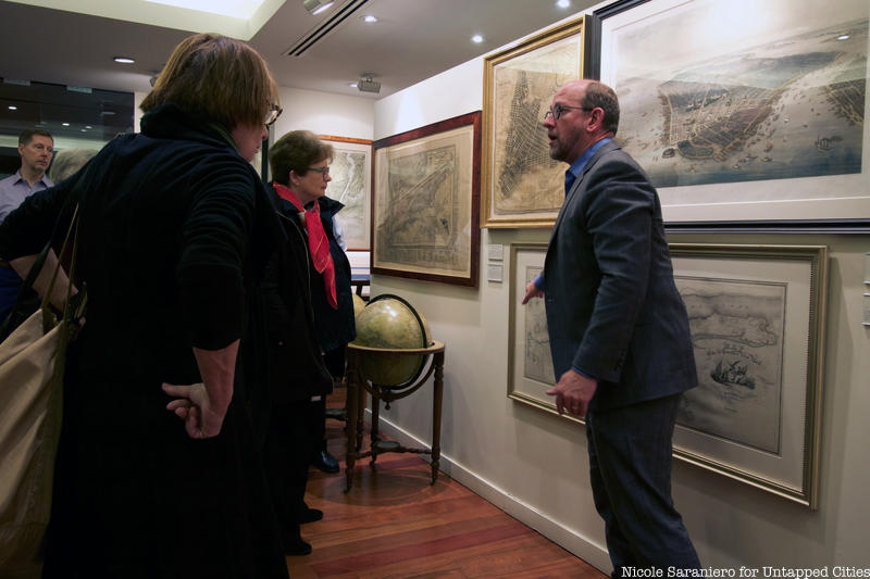
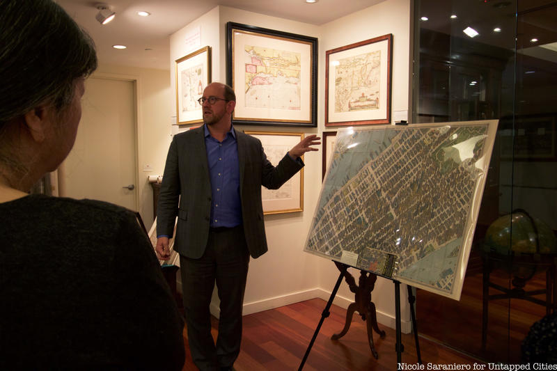
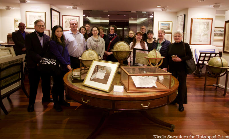
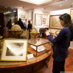
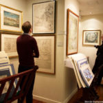
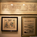
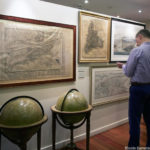
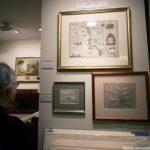
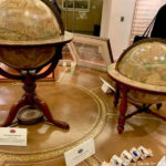
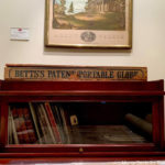
Every month, Untapped Cities Insiders get to go behind-the-scenes at some of New York City’s most unique locations and meet the experts behind them. This week, Insiders got an in-depth look at the latest exhibition of rare and antique maps inside the Martayan Lan Gallery from antique map expert James Roy. The exhibition, New Amsterdam to Metropolis: Historic Maps of New York City, traces the transformation of New York City from a small Dutch colony to a bustling 20th century city full of skyscrapers. Roy walked Insiders through hundreds of years of New York City history through maps created based on information from early European explorers, a fun map of the city’s skyscrapers made for the 1964 World’s Fair, one of the earliest subway maps and more intriguing pieces. Read on to learn more about the gallery and find out how you can join our next Insiders adventure!
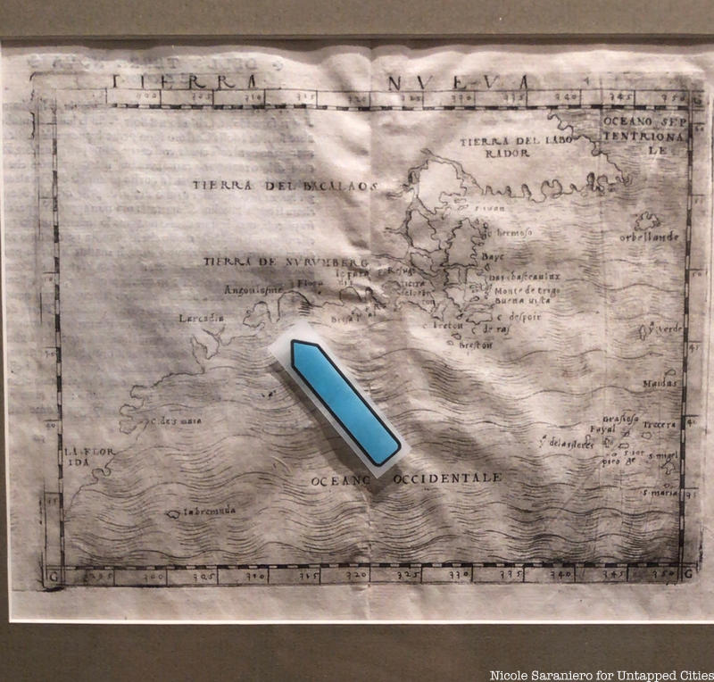
The earliest map in the exhibit, which dates to 1548, is the first map that includes a glimpse of New York Harbor. The map is based on data collected by Giovanni Verrazano on his exploratory trip to the new world and covers the whole east coast of what would become America from as far south as Florida.
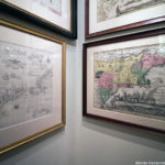
The next earliest map is from nearly a century later and was made by the Dutch colonists of New Amsterdam. The Dutch map is much more detailed and decorative than the map based on Verrazano’s exploration, as the Dutch had first hand knowledge of the land and wanted to make it appear as attractive as possible. The maps created by the Dutch were basically used as advertising by the Dutch West India Company to convince New Netherlanders to buy stock in their ships and to move to the new colony. The map shows the fauna of the area and is full of vibrant colors. Roy told the group that the Dutch used to hang maps in their homes as decoration.
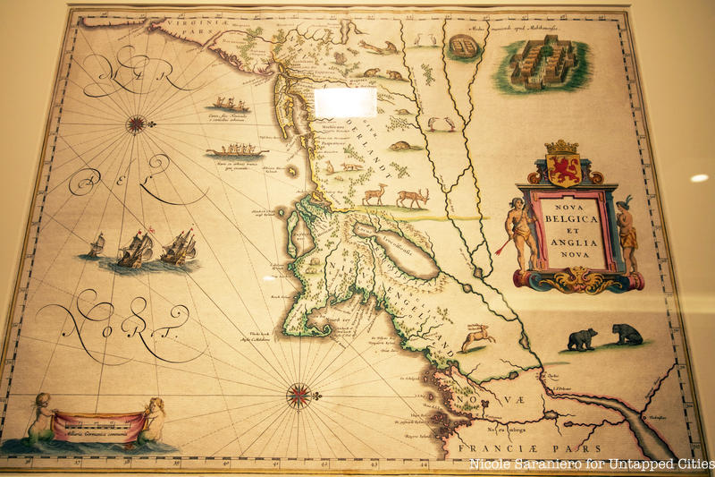
Looking at the map, it may appear odd because it is oriented to the west. This orientation allowed for more data to be drawn onto it. Instead of having a wide section of sea to fill in with pictures of ships, this layout allowed the mapmakers to print more information about the land and local wildlife like the all important beavers and bears. The map is based on a 1614 chart created by Adriaen Block, the first European to explore the Long Island Sound.
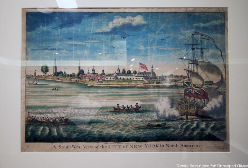
Jumping ahead to the Revolution, Insiders got to see a view of New York City created in 1730, when New York was under English colonial rule. This image likely accompanied a map of the city. You may notice that the flag in the image is an American flag, certainly not the flag that would have originally been printed there in 1730. That means somewhere along the way the British flag was covered up.
As New York City began to grow, multiple plans were proposed for the city’s orderly expansion. One of the proposals was created by John Randel Jr., a 19th century surveyor who created the blueprint on which the 1811 Commissioners’ Plan was based. In the Martayan Lan gallery there is a map created by Randel in 1821 which provides a more accurate depiction of the Commissioners’ Plan. You can discover a remnant of Randel’s survey scouting inside Central Park if you know where to find one of his remaining authentic survey bolts.
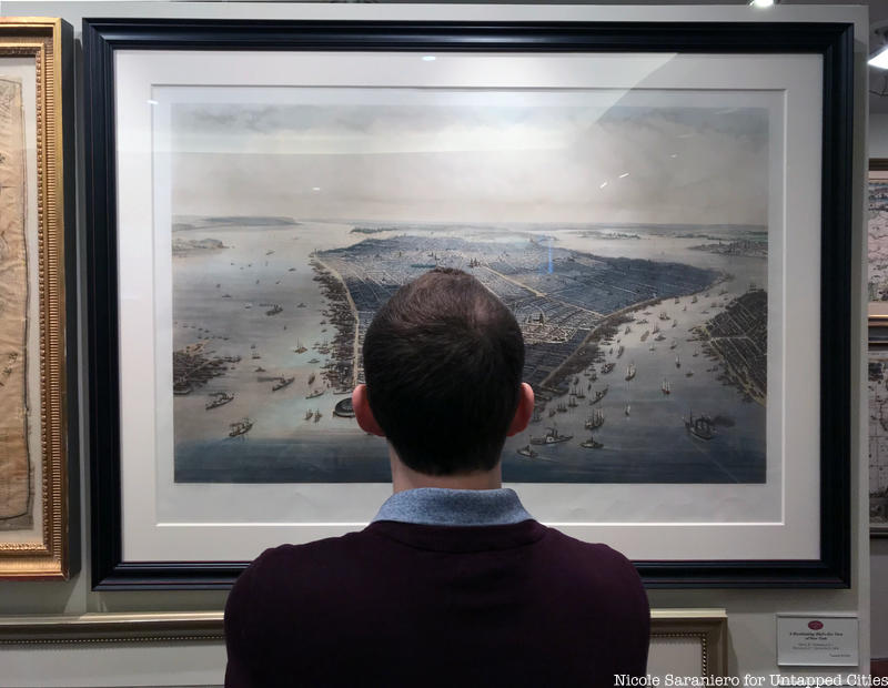
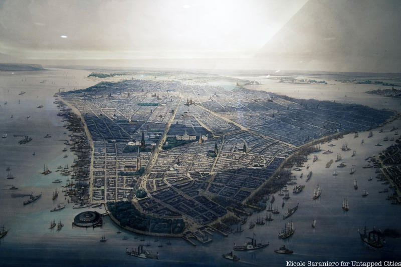
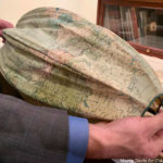
Another unique item in the gallery is a bird’s eye view of Manhattan from 1851. This is likely one of the rare bird’s eye depictions of the city that was actually sketched from the vantage point of a balloon. The view is what you would see if you took a balloon ride up above Governor’s Island. The artists who sketched out the island would have spent some time up in the air and then passed off the assignment to an illustrator who would have filled in the details.

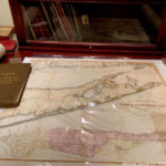
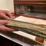
One our Insiders’ favorite pieces was a subway map from when the New York City subway system first opened. The “vest pocket” map was created by Wanamaker’s Department store and mailed out to their customers. The map inside the gallery is one of only two that are known to still exist and it must not have spent much time in anyone’s pocket because it is in amazing condition. The map dates to 1904 and there is no address on the back of it. The other Wanamaker map that the gallery is aware of was sent to a Wanamaker customer in Riverhead, Long Island.
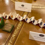
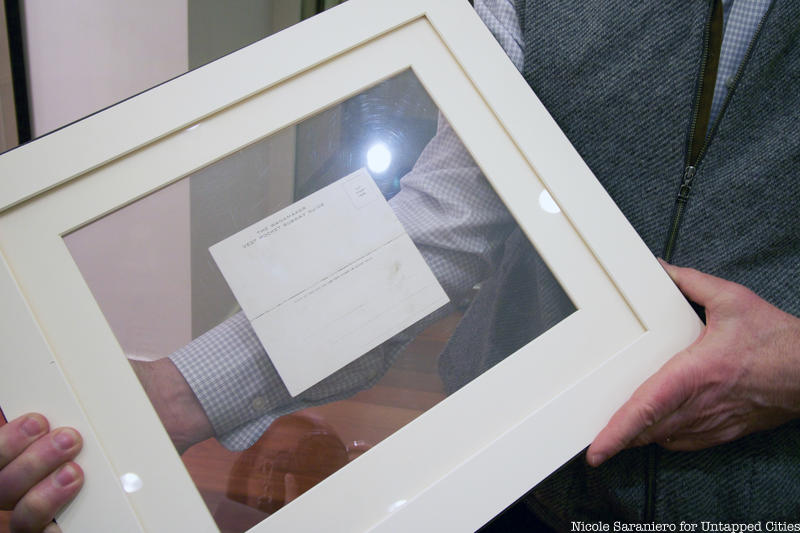 Back of the Wanamaker map
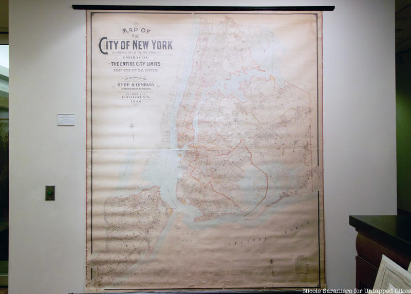
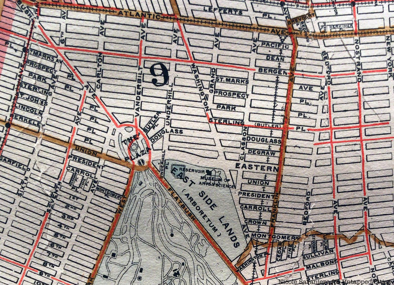
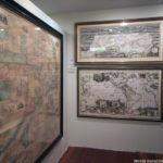
The large Map of the City of New York which dates to 1898 is the first to show all five boroughs of New York. The map is extremely detailed and Insiders enjoyed finding where on the map their homes would be. Roy explained that part of the reason streets in Queens are often confusing, with streets, avenues and roads often sharing the same name, is because the area was made up of a bunch of different villages that were consolidated into one borough.
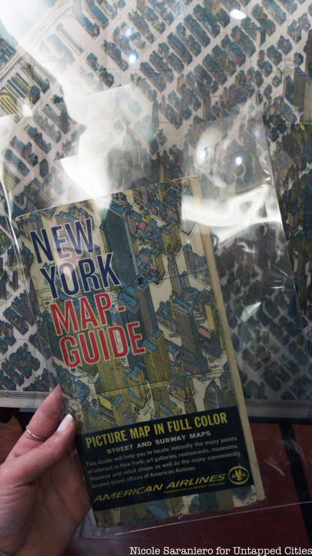
The most recent map of New York City in the gallery is The Age of the Skyscraper, a map from 1963 which was featured inside a brochure for the 1964-1965 World’s Fair. The map was initially hand-drawn by H. Bollmann and was based on 67,000 photographs of Manhattan. The map is slightly distorted, with streets that appear wider than they are in real life, in order to emphasize the scale and height of the city’s skyscrapers. Roy told us that fifty percent of the world’s skyscrapers were contained within Midtown manhattan at the time of the map’s creation. The map was funded by American Airlines and it includes all of the company’s Manhattan ticket offices.
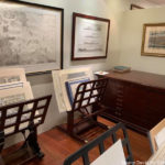
Check out the gallery below for more pictures taken by Insiders on our visit to the Martayan Lan Gallery. You can join Untapped Cities on our next Insider tour by becoming a member today. When you sign up to be an Insider, you gain access to free behind-the-scenes tours and special New York City events all year long!

Next, check out some more of our articles about Fun Maps of New York City!