Remembering the Automat with Marianne Hardart & Lorraine Diehl
Revisit the golden age of the NYC automat and learn about its modern revival!


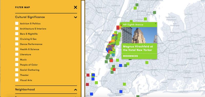 Map from LGBT Historic Sites Project
Despite the arrival of spring, for the time being we can’t delight much in exploring our exciting city by foot. While you can join us (for free!) on our virtual talks and tours with code STAYHOME, you can also discover a treasure trove of useful tools pertaining to local geography on your own time. Municipal and art institutions, and even some armchair historians and cartographers, have created multiple interactive maps and tours to give you the whole urban explorer experience, virtually and with context. Start your journey with these links:
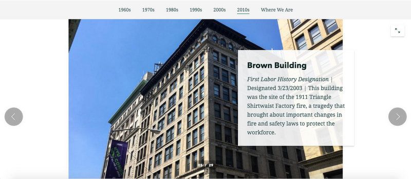
Just last week, the Landmarks Preservation Commission released a new story map celebrating 55 years of its history. Listed by decade, you can read a recap of that particular ten year history and then scroll through a timeline and then photographic highlights of buildings that were landmarked.
Untapped New York partnered with the Landmarks Preservation Commission to supply the image for the above building, the Brown Building, better known as the Triangle Shirtwaist Factory building — the scene of the horrible factory fire in 1911. The building is now part of NYU campus.
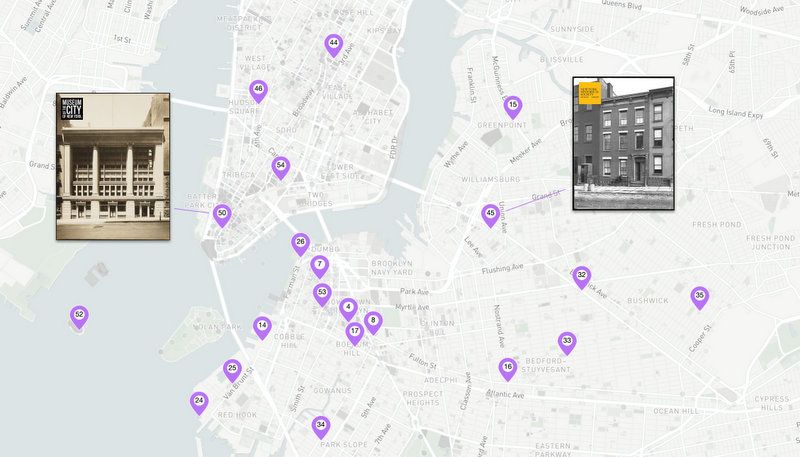
Map courtesy Urban Archive
The technology nonprofit Urban Archive summarizes its large collection as, “Interactive maps that combine photographs and history to tell stories of New York City’s architecture, parks, transportation, and other points of interest.” Their most recent campaign, #NewYorkFromHome, partners with big-name local institutions such as the Municipal Arts Society and The Museum of the City of New York.
Available on desktop or phone app, the platform presents the reader with organized tours, seen on the map as separate points illustrated with factoids and vintage pictures. One upload in particular is most apropos: “Epidemic: New York in 1918,” which brings explorers on a virtual walk through the streets of NYC as they were just over 100 years ago.
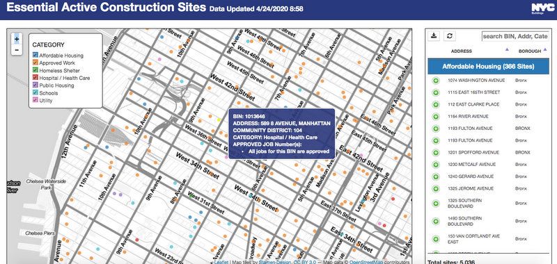
Image courtesy NYC Department of Buildings
While currently all non-essential construction is put on hold, we can be certain it will be one of the first industries to bounce back when the pandemic lets up. A service of New York’s Department of Buildings, the curious can probe the nitty-gritty details behind the construction projects shaping our city in a real-time NYC Essential Active Construction map. A spokesperson for the Department of Buildings tells us “The vast majority of the over 35,000 construction sites in the City were shut down on March 30th due to the Governor’s Executive Order. This map shows the sites that were deemed essential and are allowed to remain open.”
The categories deemed essential include hospitals and healthcare sites, affordable housing, public housing, schools, homeless shelters, utilities, and other approved work. This map does not seem to include state projects under construction, such as the Farley Post Office redevelopment across from Penn Station for Amtrak that we observed to be active as of two days ago. Additional real-time maps from Department of Buildings include the
After Hours Construction Map, the Sidewalk Shed Map, the Site Safety Construction Site Map, and the DOB Building Profiles Map.This map is made by Untapped New York, so you can explore it directly above. We are updating it weekly with the latest data from the NYC Department of Health and matching it with zip code population data. A second map we have in our separate article about the maps and data includes COVID-19 cases per 10,000 population, to normalize the data.
Using the above map, you can see the comparative number of cases by zip code, with lighter colors having fewer cases and darker colors more. Click on a zip code area, and you get a pop-up that shows the number of tests, the number of positive cases, net new cases since 4/1, and % of total population.
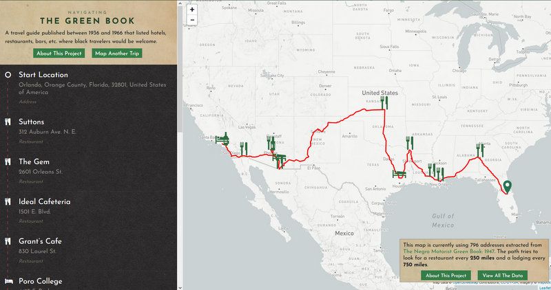
Map courtesy NYPL
This vast and seemingly endless database brought to you by the New York Public Library is like brain food for map nerds. Really a whole amalgamation of resources including historical maps, data sets and photographs, scholars, students, librarians, and enthusiasts are subsequently using the info in real-time projects.
Take a deep dive into 19th century hand-drawn maps, or navigate through important artifacts related to the Green Book, a 20th century travel guide which black Americans relied on while road-tripping through the country during the pre-Civil Rights era.

The New York City LGBT Historic Sites Project aims to keep uncovering LGBT history and making it available for the community to discover virtually or in-person. Its map can be filtered by cultural significance, by neighborhood, by era or LGBT category. Click on a marker and get to more information about a particular person and site. You can see our previous coverage, regarding a handpicking of ten notable sites from the project.
On a similar note, although not updated within the last few years, the OUTgoing map represents a one-of-a-kind effort to document historic locations of gay nightlife from the 1800s to 2015. Over 969 nighttime spots – bars, clubs, bathhouses, coffee houses, cruising areas, late-night diners, and more are pinpointed throughout the 5 boroughs, marked as either “Current” or “Historic.” My advice? Look up the name of a bar and then plumb the depths of Google to find out more. This map is not only fascinating but of the utmost importance for society as well, since much of queer history is in danger of being forgotten.
Subscribe to our newsletter