NYC’s Forgotten ‘War on Christmas Trees’
Discover how an obscure holiday crackdown affects festive street vendors today!


In spite of its reputation as a concrete jungle, New York City is home to a great many parks. Many parks are large enough to go hiking in, making them a great destination for any weekend adventurer.
Compiled below is a list of ten great places to hike, all within the five boroughs!
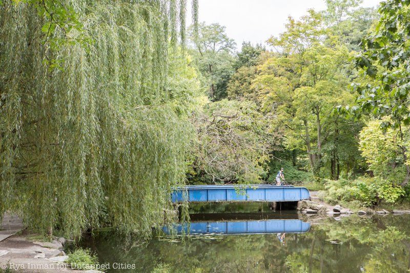
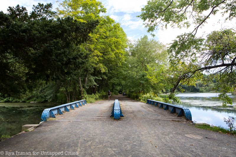
A ride to the last stop of the 1 train will drop you off at Van Cortlandt Park, a 1,146 acre park that houses multiple playing fields, playgrounds, and a vast forest. The woods are navigable by not one, but five distinct hiking trails: the 1.5 mile Putnam Trail, the 1.1 mile Old Croton Aqueduct Trail, the 1.25 mile John Kieran Trail, the 1.5 mile John Muir Trail, and the 1.4 mile Cass Gallagher Nature Trail (more information is available on the NYC Parks website). During the fall, these trails are used by New York City schools to hold cross country meets. During the summer however, you can expect the trails to be much emptier. Maps of the park are offered at the Van Cortlandt Nature Center.
In addition to its trails, the park is also rich in history. It is the site of the 1778 Battle of Kingsbridge where Stockbridge Mohicans died fighting for the Patriots’ cause. Additionally, during the Revolutionary War, vaults in the Van Cortlandt burial ground were used to stash important New York City records for safekeeping. The park is also home to the Van Cortlandt House, the oldest house in the borough.
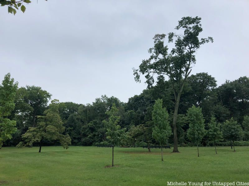
More than three times the size of Manhattan’s Central Park, Pelham Bay Park is the city’s largest park property. The park’s most well-known claim to fame is Orchard Beach, the Bronx’s only public beach, a man-made oceanfront created by Robert Moses. Luckily, there is a hiking trail that can help you absorb the park’s sheer size and beauty. The Kazimiroff Trail provides self-guided long and short loop paths around 189-acre Hunter Island, leading visitors along the island’s wetland border, through its interior forest, and onto the shore of beautiful orchard beach.
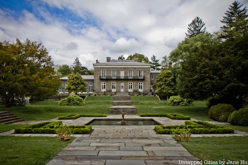
Beyond the trail, other spots in the park include the Bartow-Pell Mansion, a World War I statue, and a statue that is the remnant of a demolished athletic facility. There are plenty of other secrets hidden throughout the park, so feel free to use our guide to help you plan your adventure!

Right along the border of Brooklyn and Queens, Canarsie Park houses active athletic fields, cricket pitches, and a beautiful shoreline. The park’s Blue Trail is over half a mile long and passes through the park’s wetland area and along it’s sandy shores. The trail offers views of Jamaica Bay and the surrounding neighborhoods, as well as the Manhattan skyline farther in the distance. Additionally, ducks and geese are often visible in the water. An interactive map of the trail is available on the NYC Parks Website.
In addition to the trails, Canarsie Park’s location along Jamaica Bay allows it offer plenty of other activities. Kayaking is a popular activity at the park, with guided tours that lead paddlers around Paerdegat Basing, under the Belt Parkway, and out to a sandy point about a mile away on the Mill Basin. In addition to birds and wildlife, trips along the water also offer great views of planes taking off and landing at JFK Airport.
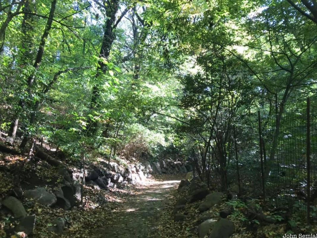
Prospect Park is Brooklyn’s most famous park for many reasons. First off, it was designed by architects Frederick Law Olmsted and Calvert Vaux. Both are better known as the designers behind Central Park, but Olmsted believed Prospect Park to be his masterpiece. Additionally, the park houses many remnants of the American Revolution and is directly next to Brooklyn’s Grand Army Plaza.
The park houses four easy hiking trails to help visitors explore. Together, the Lullwater, Midwood, Peninsula, and Waterfall Trails span the spark and act as a great way to experience its beauty. Information on all these trails is available here. A walking tour is a great way to take in all of the park’s beauty and to discover its many secrets.
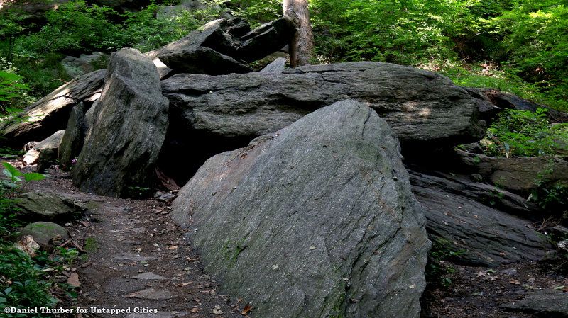
Up at the northern tip of Manhattan, Inwood Park offers a great view into the lush forests that covered the island’s rolling hills before skyscrapers did. The park is home to the scenic Inwood Hill Park Hiking Trail, a trail that transports you back to Manhattan’s past. With glacial potholes, rock formations, and views of the Hudson all offering a glimpse of the island’s ancient beauty. An interactive map of the trail is available on the NYC Parks website, as well as some insight into things you will see along the way.
The park is also within walking distance of the equally historic Fort Tryon Park and the Cloisters. Together, Inwood Park and these two other locations make for an amazing day trip to the tip of Manhattan, full of beautiful views and interesting secrets to discover.
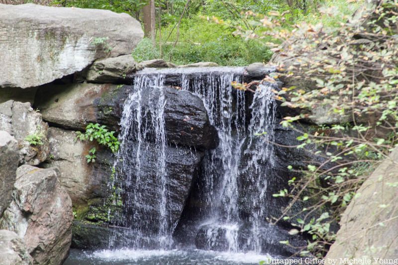
Although Central Park does not contain any official hiking trails, it is large enough and definitely famous enough to warrant a place on this list. Central Park clocks in at 843 acres and although it is not the city’s largest park by far, it is larger than the principality of Monaco. Central Park was not laid out in the 1811 Commissioner’s Grid for New York City but some early foresight ensured that this bounty of open space was preserved before Manhattan was totally developed.
Central Park is certainly the largest park on Manhattan island, taking up six percent of the borough’s land area. The park’s many roads and paths might seem daunting, so feel free to use our guide to the Historical Remnants and Ruins of Central Park to help chart out your journey!
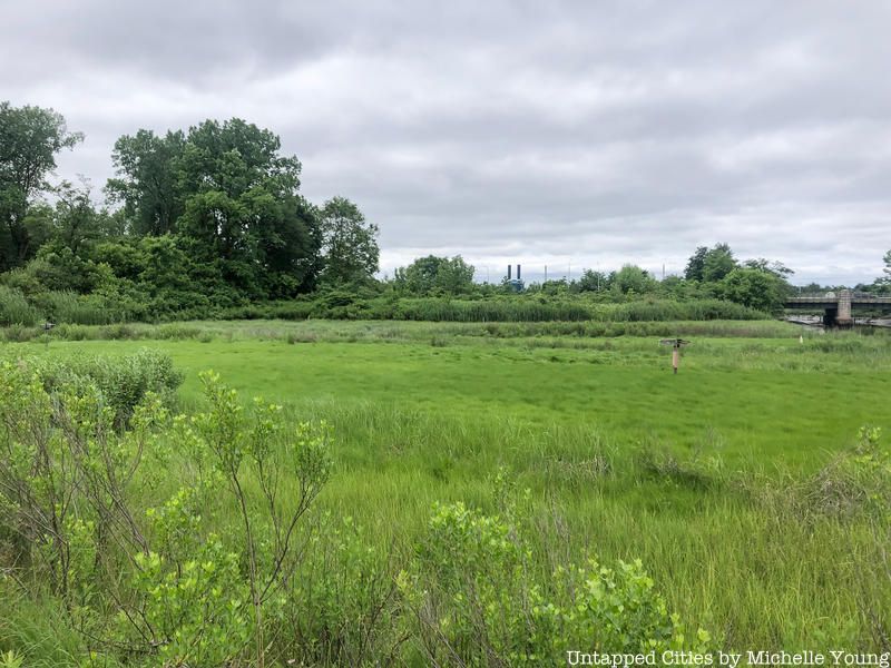
Spanning 636 acres, Alley Pond Park is home to a diverse number of sights. Within the marshy greenery of the park, you can find the oldest and tallest tree in New York City and a Dutch windmill. While the park is home to many secrets, it also offers numerous trails that can help you find your way. An interactive map of the trails featuring points of interest can be found here.
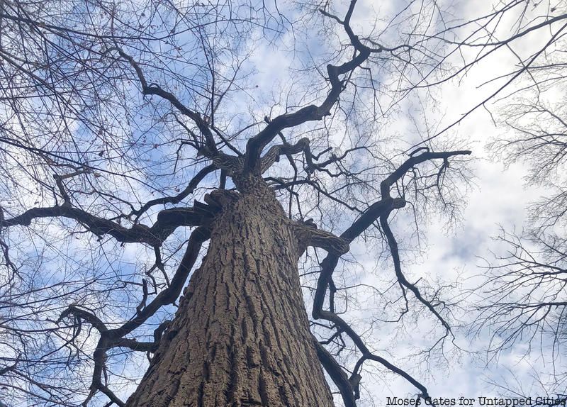
Alley Pond Park is one of many beautiful locations along the western outskirts of Queens. The nearby Little Neck Bay and neighborhood of Douglaston retain a small-town vibe that is unique within the city, making for a splendid weekend escape from the hustle and bustle.
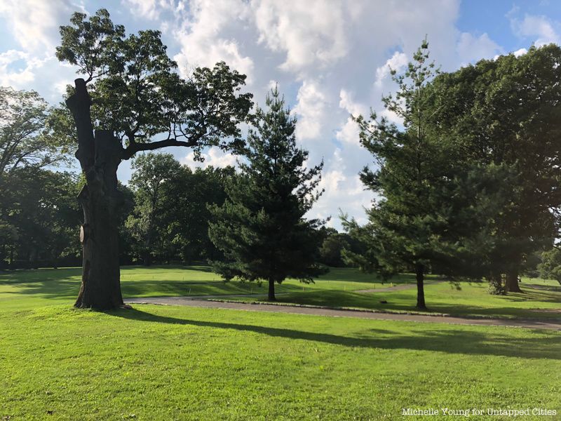
Also designed by landscape architect Frederick Law Olmsted (best known as the designer of Central Park and Prospect Park), Forest Park in Queens is 544 acres and has the largest continuous oak forest in the borough. In the late 19th century, when Olmsted surveyed the land to construct Forest Park, he purposely designed the space so that it would retain its “pastoral quality.”
To this day, that quality is on full display, and is made easily accessible thanks to the park’s three hiking trails. The 1 mile Yellow Trail, the 1.7 mile Blue Trail, and the 2.4 mile Orange Trail weave throughout the entire park, offering a splendid path through the oak-hickory forest and past numerous ponds.
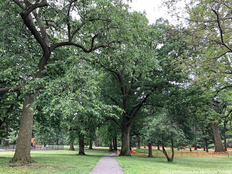
The two features that set Clove Lakes Park apart from other New York City parks are its distinctive ash green, serpentine rocks and the park’s three-hundred year old tulip tree, which is the largest living thing in Staten Island. The three-mile Clove Lakes Park Trail along Victory Boulevard will provide you with valley lakes, pathways through wooded hills, scenic bridges, and the famous tulip tree. It also home to species like snapping turtles, belted kingfishers, and red-backer salamanders.
In addition to hiking, many visitors enjoy fishing in the park’s central lake. Paddleboat rentals are also available to cruise around on the water. During the fall, the park’s trails are also used to house cross country meets. In the winter, the park is home to the WWII Veterans War Memorial Ice Skating Rink.
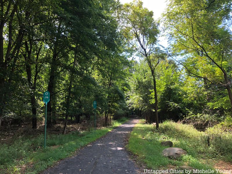
This massive area at Staten Island’s center offers 35 miles of trails, making it the most extensive on the list. There are six main trails accommodating all difficulty levels. The park’s Blue Trail is 12.3 miles long and runs from Staten Island Boulevard to Todt Hill, which is one of the highest spots on the Eastern Seaboard.
The trails vary in length and difficulty, but all offer stunning scenery and some great panoramic views of the city. At High Rock Park along the Greenbelt, you can climb the 260-foot, man-made Moses Mountain to get a great view of the narrows and New York harbor in the distance. At Willowbrook Park, you can fish in the first man-made lake in Staten Island. Throughout the park, you can sport a variety of oak, tulip, beech, and hickory trees. There are persimmon and sweet gum trees also sprinkled throughout the Greenbelt’s grand expanse.
For more outdoor adventures, check out 10 Beautiful Places to Discover in Nassau County, Long Island!
Subscribe to our newsletter