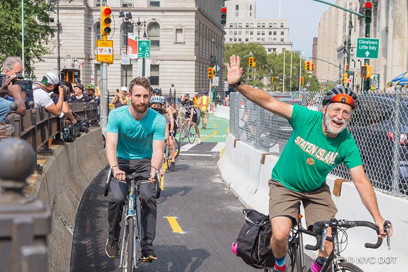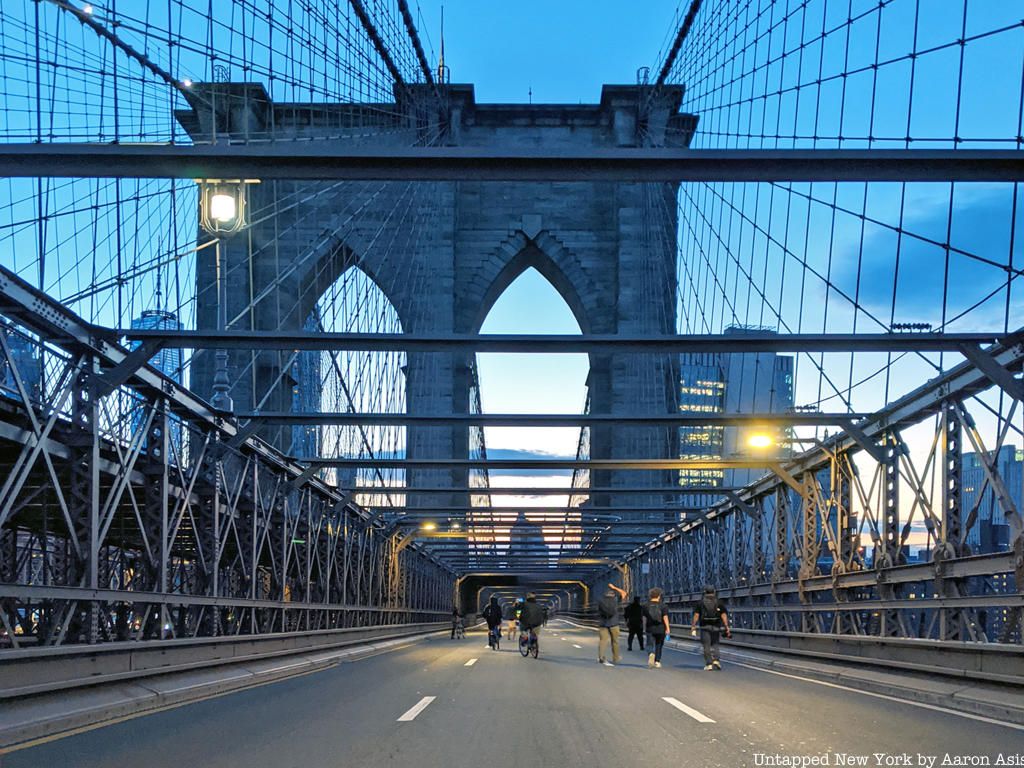

Yesterday, the new Brooklyn Bridge bike lane officially opened. It marks the first time since since 1950 that space on the bridge has been allocated back towards non-automobile traffic. This new configuration between car space and public transit space (if we are to put bicycling within the public transit realm) puts the Brooklyn Bridge closer in configuration to its original layout, which was far different than today. In fact, when the Brooklyn Bridge first opened, a cable car ran in the center of the bridge, with lanes for horse-drawn carriages on each side, and pedestrian walkways above. Automobile traffic was actually banned on the Brooklyn Bridge in 1922, on direction from Grover Whalen, the commissioner of Plant and Structures.
Trollies started running on the Brooklyn Bridge in 1898, the same year as the five borough consolidation, on tracks constructed at the center lanes of the two roadways. The trolley tracks were used by the Brooklyn Rapid Transit company, which ran elevated trains and streetcars over the bridge. After significant competition created by the expansion of the underground subway lines, the elevated train system went into decline. The trollies stopped running in 1944 and the streetcars in 1950, when the tracks were removed to accommodate six lanes of automobile traffic.

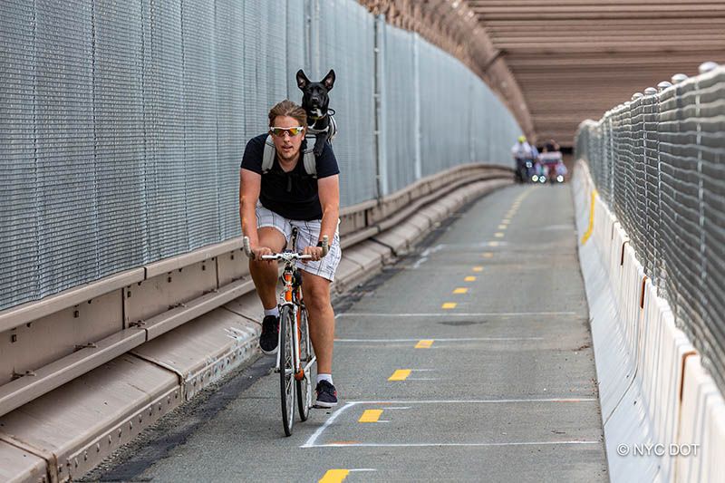
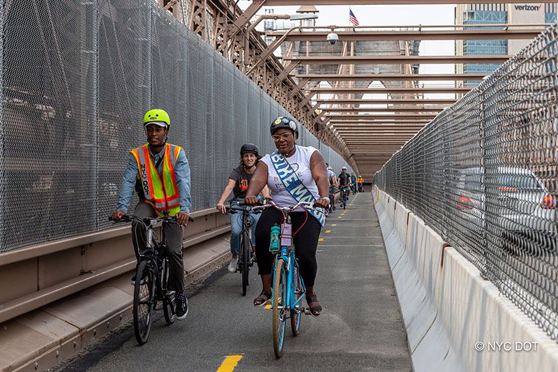
The new Brooklyn Bridge bike lane is two ways, protected by a concrete barrier on one side with metal fencing rising from it, and the pre-existing steel and metal barrier on the other. The bike lane finally separates the pedestrians, often tourists) from the bicyclists on the elevated walkway, which is a boon to both groups and allows bikers to traverse across a smooth surface for once — no more of the bumps along the wooden esplanade.

Construction of the new bike lane began, under direction of the New York City Department of Transportation (NYC DOT), in June and finished in September, and included not only the portion on the bridge but the creation of a new bike path in Manhattan from the Municipal Hall area onto the bridge itself, and some modifications on the more luxuriously-planted Brooklyn side. NYC DOT provided some usage figures yesterday, with bike crossings numbering over 60,000 in May 2020. The bicycling boom, spurred by the pandemic, and seen across New York City, appears here to stay for now.

“Finally, cyclists and tourists – and cyclists who are tourists – are getting the protected biking lane they deserve,” said Manhattan Borough President Gale A. Brewer. “Diverting bikes to this path will make the bridge’s pedestrian paths even more popular and make everyone, whether on two legs or two wheels, feel safer. Kudos to the Mayor and the DOT for executing this long-overdue improvement.
“The opening of the Brooklyn Bridge protected bike lane is a great day for New York City. It’s an important step in undoing decades of harmful policies that prioritized cars over people. From Open Streets to Outdoor Dining, we’ve revolutionized our approach to our public spaces in the last 19 months. This bike lane represents another big win for that approach, and for all New Yorkers,” said New York City Council Speaker Corey Johnson.
You can check out the new bike lane on our tour this weekend of the Secrets of the Brooklyn Bridge!


