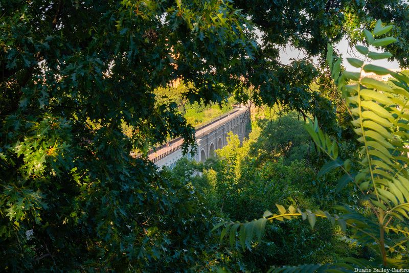

New York City’s oldest surviving bridge marked a milestone this year: its 175th birthday. On June 6th, local residents and students, community partners, and elected officials representing the Bronx and Manhattan gathered atop the historic High Bridge to celebrate the historic occasion.

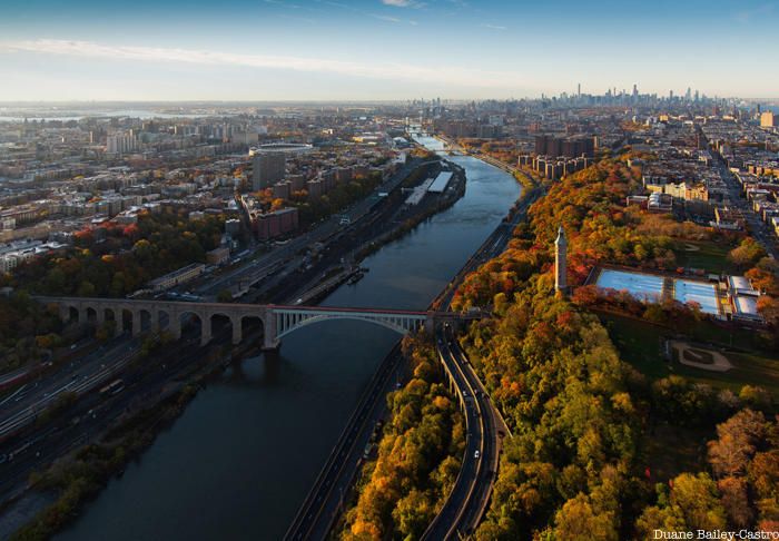
Built as an aqueduct in 1848 to provide the rapidly growing population of Manhattan with a safe and reliable supply of water, the High Bridge spans the Harlem River connecting the Bronx and Manhattan. Regarded as an engineering marvel during the 19th and early 20th centuries, it was the most prominent linchpin in a sophisticated, new network – known as the Old Croton Aqueduct – made up of pipes, gatehouses, bridges, reservoirs, and a dam that all together covered 41 miles. The Croton Water Supply System – New York City’s first major water supply system – served as a model across the country and around the world. Despite it no longer serving as a conduit for the city’s water, the High Bridge remains the most tangible link to a water supply system that was instrumental in helping to make New York City the country’s most vibrant and populous metropolis.
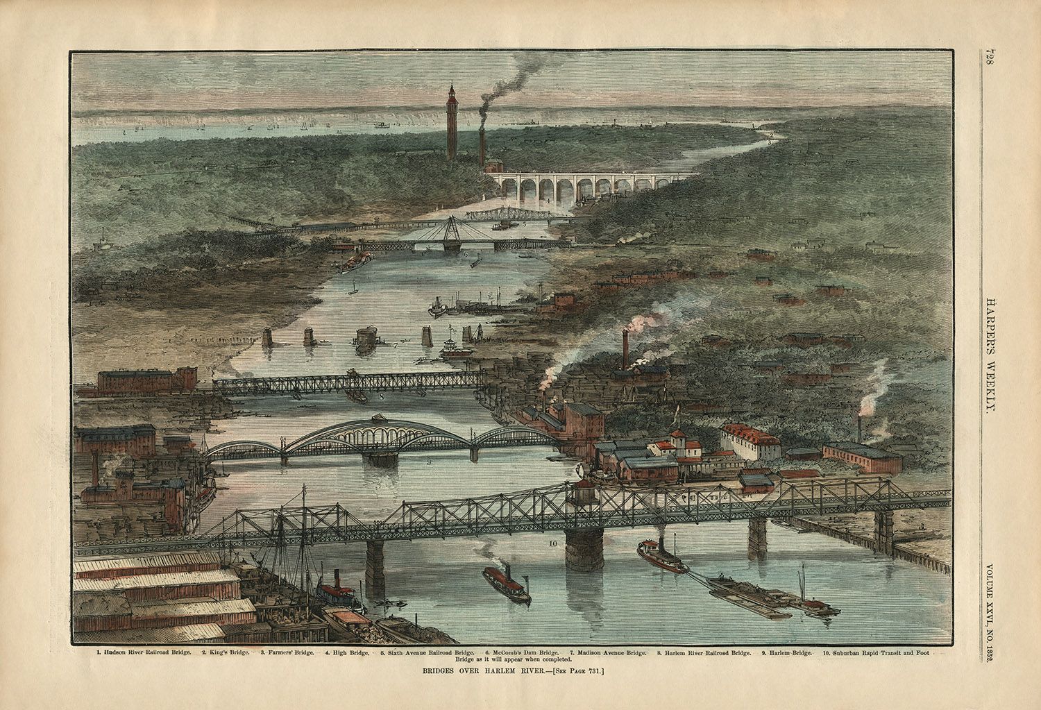
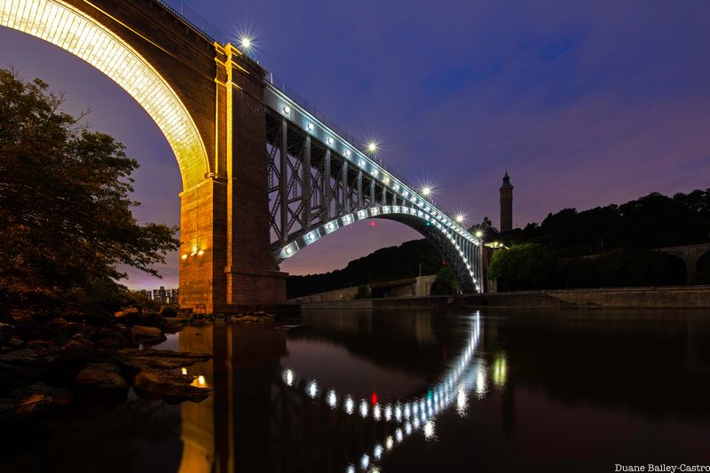
How can we make some sense of 175 years? Well, one interesting way might be to find out what structures once existed along the Harlem River waterfront that are no longer there and which have endured. The following 1882 lithograph titled “Bridges Over Harlem River” from Harper’s Weekly is one of my favorites. Like today, numerous bridges once spanned the length of the Harlem River in the 19th century. Interestingly, the only span that is illustrated in this lithograph that is still there today is the High Bridge (minus some alterations, such as the single large steel arch that replaced five stone piers in 1927 and lights that were added along its arches in 2015 to illuminate the span at night).

Visual artifacts like the lithograph offer fun and engaging opportunities to explore our city’s past. 19th-century New Yorkers’ fascination with the Roman-like aqueduct as an example of the triumph of American engineering and a tourist destination is perhaps best reflected in the many different postcards celebrating the High Bridge that people bought as souvenirs and mementos to mail to friends and family. The postcard seen here from 1905 places the High Bridge in an elite group of attractions popular both then and now. The fact that the High Bridge was included alongside these iconic landmarks (and it being the sole destination uptown) speaks to its special place in the imagination and wonder of New Yorkers and tourists alike in the past.
In addition to the festive community-wide June 6th celebration, organizations including the Harlem River Working Group, NYC H20, and Friends of the Old Croton Aqueduct, along with the Bronx Borough Historian, have led and continue to organize walking tours to further educate the public about the High Bridge’s legacy and to inform them about all the important work that remains to improve and expand the adjacent parks and grant more public access to the Harlem River waterfront. The hope of local Bronxites, Manhattanites, and community partners to one day have better recreational spaces and parkland nearby the High Bridge and the Harlem River received a major boost when Mayor Eric Adams announced the city’s plan to expand the Harlem River Greenway in the Bronx at a podium atop the High Bridge on March 22, 2023.

This announcement comes eight years after the city government formally reopened the High Bridge as a pedestrian walkway on June 9, 2015. The bridge was reopened after a multi-year restoration project that was supported by a coalition of partners, most notably the Bloomberg administration and former U.S. Congressman José E. Serrano from the Bronx. Since then, significant progress has undoubtedly been made to improve the infrastructure and green spaces for the surrounding community, but much work remains.
If you haven’t visited the High Bridge, make this the year that you do so. One fun way to explore the historic span and learn more about its history is to participate in a free tour of the adjacent Highbridge Water Tower. Each month, the NYC Parks Department’s Urban Park Rangers offer a free public tour of the Highbridge Water Tower, which reopened in 2021. Built in 1872, the 200-foot landmark offers an impressive 360-degree view of the surrounding landscape. The next scheduled tour is on Sunday, August 6th from 1:00-3:00pm. Registration is not required.

On Saturday, September 9th from 12:00-2:30pm, journalist and photographer, Nathan Kensinger, and I will lead a free walk that starts at the High Bridge and concludes at nearby Roberto Clemente State Park. Titled “Walking the Harlem River: Bridges, Parks and Landmarks,” this NYC H20 walk is the first in a new series of walks that will explore the Bronx-side of the Harlem River.
Bronx Borough Historian, Angel Hernandez, has organized a free walking tour titled “High Bridge – 175 Years Young” from 11:00am-1:00pm that is scheduled for Saturday, September 23rd.
Having photographed the High Bridge for over 10 years and seen the transformations that have made it, the Harlem River waterfront, and the adjacent parks more beautiful and accessible, I recently created this short timelapse video in celebration of the city’s oldest existing bridge – the crown jewel of the Harlem River – for its historic birthday year!
Next, check out 10 Secrets of the High Bridge Water Tower

