100th Anniversary Great Nave Tour at the Cathedral of St. John the Divine
Celebrate the 1925 construction of the stunning nave inside the world's largest Gothic cathedral!

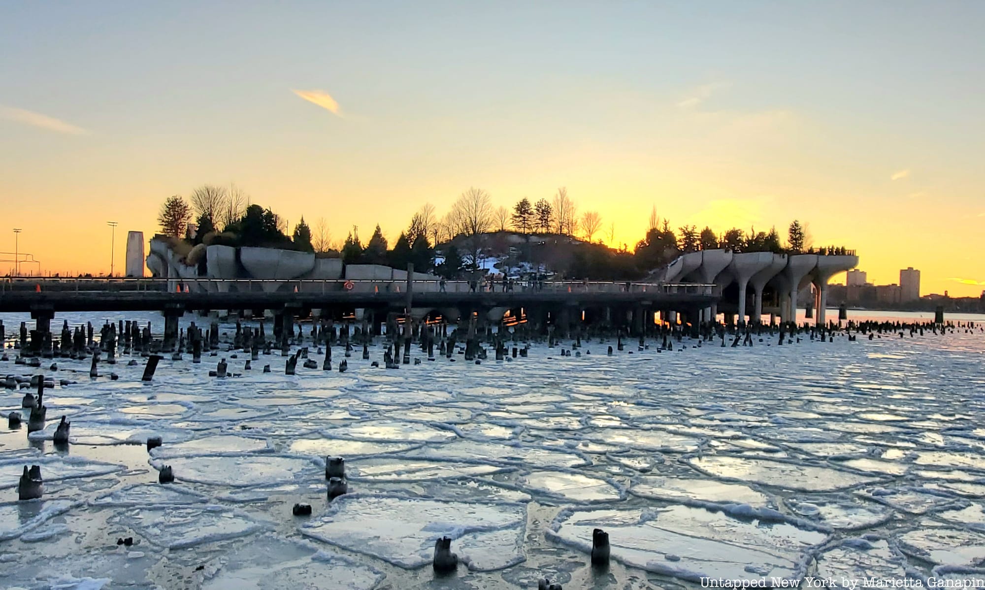
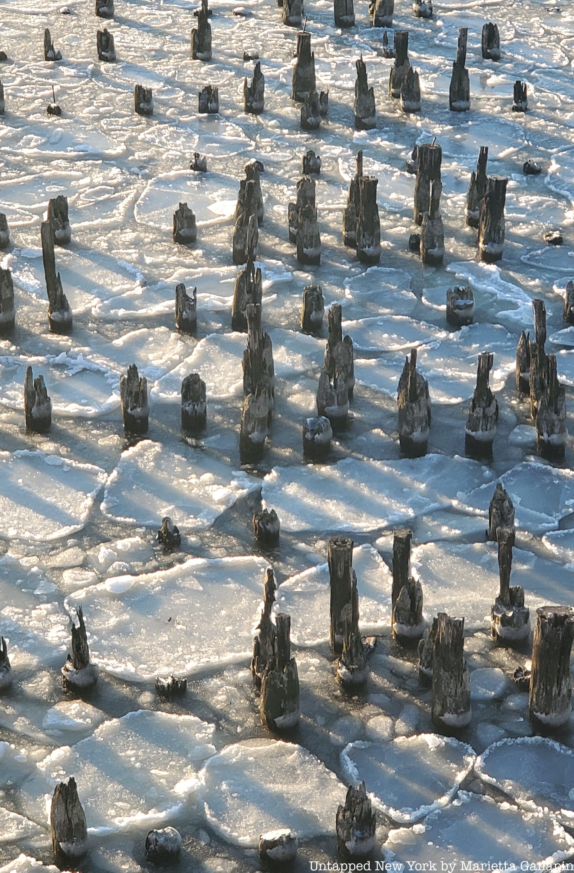
Ever notice chunks of ice floating north...then south along the Hudson?! We explore why that happens.

When the winter weather gets cold enough, New York City’s Hudson and East Rivers can partially freeze, creating a fascinating spectacle of flowing ice chunks that move in multiple directions. But why does ice flow both ways on the Hudson River and East River?
In-the-know New Yorkers like to point out that the East River is not technically a river, but an estuary, meaning that waters come in from multiple sources, including salt water from the sea. The tidal patterns can cause unpredictable ice flows as “the tide changes multiple times per day, enabling ice to enter from different major bodies of water, making it nearly impossible to predict what it’s going to do, or where it’s going to be.”

Watching ice flow on the Hudson you might see it go south, then north, reversing depending on the time of day. Turns out the Hudson River is also an estuary. The Department of Environmental Conservation writes that the Hudson River “feels the ocean’s tidal pulse all the way to Troy,” 153 miles north of New York Harbor, and almost half the total length of the 315-mile river. Rising tides will push the current toward Troy, and falling tides will move the water back toward the harbor.

When the river partially freezes, the chunks of ice that form on the surface ride these tides. Every 24 hours, there are usually two high tides and two low tides. Depending on when you watch, you will either see the ice flowing north or south.
New Yorkers love to use the ice for leisure activities. Learn more about ice yachting, a favorite pastime of FDR and modern sportsmen, and New York City's long tradition of ice skating!
Subscribe to our newsletter