Last-Minute NYC Holiday Gift Guide 🎁
We’ve created a holiday gift guide with presents for the intrepid New Yorker that should arrive just in time—


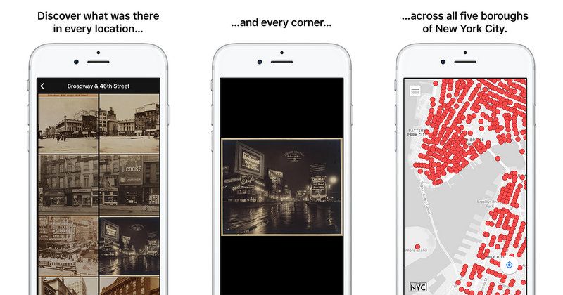
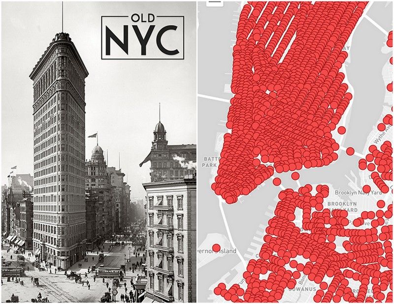
If you were a big fan of the New York Public Library initiative, OldNYC (who doesn’t love the geolocation of 40,000 vintage photos?), you’ll be excited to hear about the iPhone app that was just released yesterday in the Apple App Store. The app allows people walking in New York City to pull up historical images of their current location from the last 150 years.
Orian Breaux, a product manager at LiveAuctioneers (and Untapped Cities writer), partnered with Christina Leuci, a software developer at Cyrus Innovation to develop the OldNYC app. Breaux tells us , “Our perspective is that the intersection of history+tech can engage new audiences and help people discover the world around us in novel ways.”
The app builds upon the work of Dan Vanderkam, a software developer who created the OldNYC website in collaboration with NYPL Labs. In the fall of 2015, Vanderkam put out a call for assistance in developing an app, and the OldNYC app release yesterday is the resulting product.
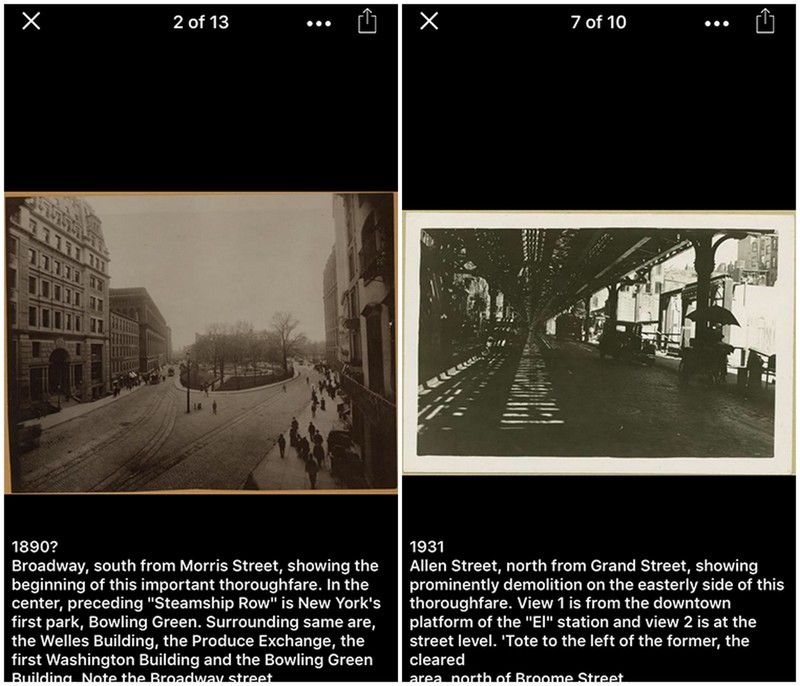
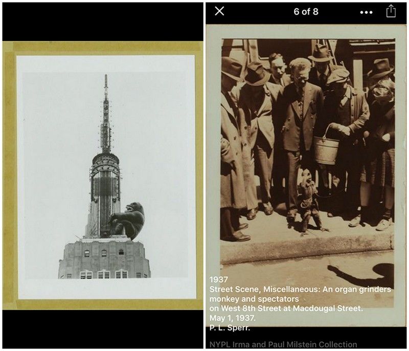
Here are some additional screenshots from the OldNYC app:


Next, check out our archive of articles on Vintage Photos in NYC.
Subscribe to our newsletter