Last-Minute NYC Holiday Gift Guide 🎁
We’ve created a holiday gift guide with presents for the intrepid New Yorker that should arrive just in time—


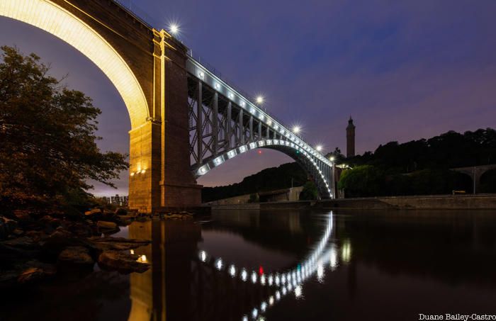
The Harlem River is an eight-mile-long tidal strait that runs past some of the most densely populated neighborhoods in New York City. However, most people living near the river have no access to its shoreline, a place that has been described as “New York’s Forgotten Waterfront.” Join Untapped New York and photographers Duane Bailey-Castro and Nathan Kensinger for a virtual experience that will explore this under-appreciated site.
In this talk on October 12th, Bailey-Castro and Kensinger will highlight their photographs of Harlem River bridges, parks, and shoreline, images taken over the course of a decade of exploration. They will discuss issues of access, transportation, and pollution while sharing their images of the historic architecture and new green spaces that line this fascinating waterway.

This live virtual event on Monday, October 12th at 7:00PM EST is organized for Untapped New York Insiders — get two months free with code JOINUS. A video of the talk will also be made available to all our Insiders afterward in the Video Archive section of our website.
Get a sneak peek at some of Bailey-Castro’s work here, and check out The Top 10 Secrets of High Bridge!
Subscribe to our newsletter