A Salvaged Banksy Mural is Now on View in NYC
This unique Banksy mural goes up for auction on May 21st in NYC!

Last week we looked in detail at an 1836 map of New York City overlayed onto present day Google Maps, highlighting the changing topographies of Times Square, Bryant Park, Battery Park, and more. This week, we take a look at some of the other cities highlighted in the same project.
This interactive project combines nineteenth-century maps of six American cities to satellite images of those cities today. You can toggle between using either as a background while using the other as viewfinder window. The result is a before-and-after exploring tool. This project is a collaboration of David Rumsey Map Collection (amazing historical map resource), ESRI’s story maps, and the online Smithsonian Magazine.
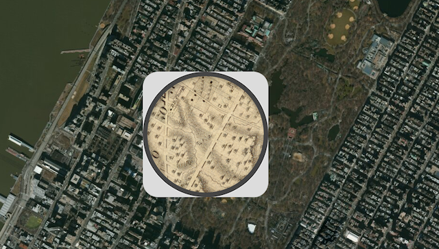
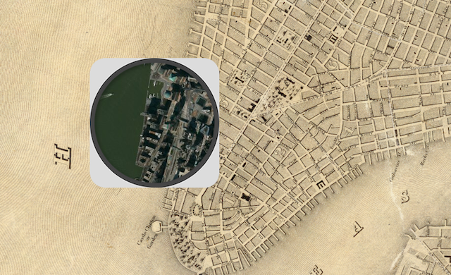
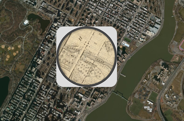
These maps are a full of interesting surprises and mini history lessons about how a city grows. For example, one may stumble across Harlem Creek, a now completely nonexistent little tributary. According to Greening the Gap:
“The former Harlem Creek and its watershed were covered and drained by combined sewers within the sewershed of the Ward’s Island Water Pollution Control Plant (WPCP) in the 19th and 20th centuries.With the shoreline extended through landfill, and the channel of the stream filled in, little visible evidence of the old Harlem Creek exists today. Its watershed, salt marshes, and meadows, which originally attracted settlers to the area, have been deeply altered by urbanization.”
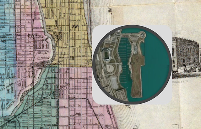
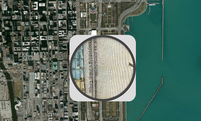
In this pre-fire map of Chicago you can see how the city grew east out onto the Lake. In fact, much of the landfill that was used to build onto the lake was rubble from the fire which occurred five years after this map was created.
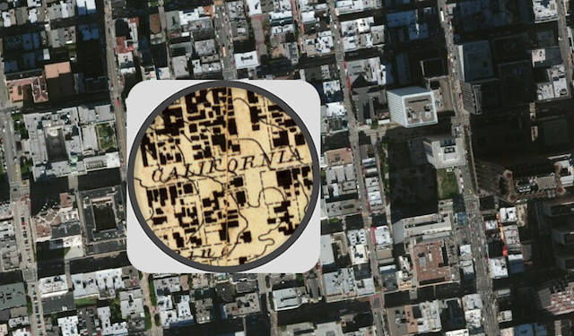
The San Francisco map uses a sailing chart of the city and its bay made in 1859 by “the fledgling” US Coast Survey. The map has an incredible level of detail.
See the rest of this incredible before-and-after map series here.
Get in touch with the author @youngzokeziah. See more maps in our Fun Maps column.
Subscribe to our newsletter