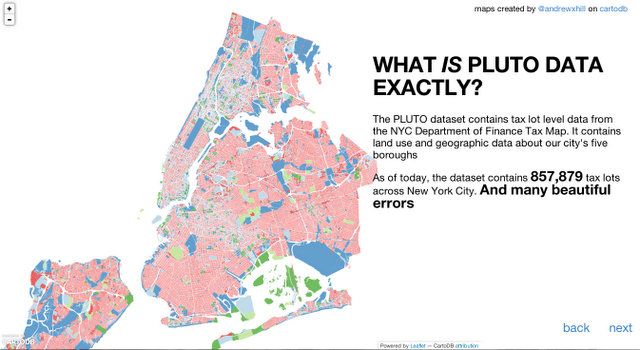
In July, New York City finally made public the last big chunk of city geospatial data: MapPLUTO. The dataset, which stands for Property Land Use Tax Lot Output, was previously only available for a fee. It’s essentially a spreadsheet for each borough that contains rows of tax lots, with the columns containing attributes that describe the lot, like property value, square footage, number of buildings, etc. This information is useful to urban planners, real estate professionals, and city geeks like us, but what can any layperson take away from this resource?
Enter Andrew Hill, a scientist, developer, and cartographer who managed to turn the dataset into more than twenty-five colorful and fascinating maps that perfectly illustrate the intersection of New York geography, history, and culture. Here are some highlights:
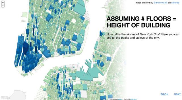
We often can’t tell how tall the buildings around us are because, from our teensy height, they are all gigantic. One of Hill’s maps is three dimensional, showing how tall each NYC building is compared to the others around it. Check out 1 World Trade Center and how it dwarfs its neighbors.
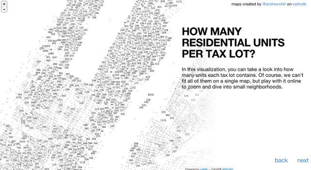
Did you know there were so many residential units on Roosevelt Island?
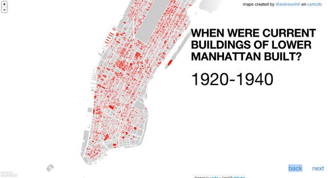
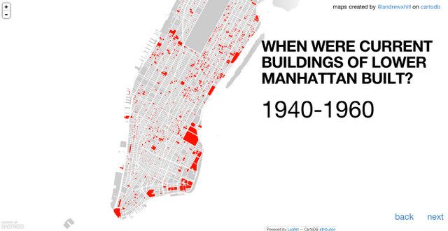
Contrast the development-crazed 20’s and 30’s with the next two decades.
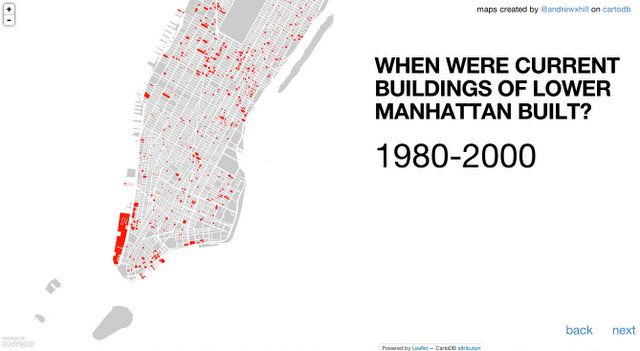
Notice Battery Park City?
We’d love to see a map showing what the first six private land holders are. Does the Trinity Church, which claims to be one of the “largest landowners in Manhattan,” fall near the top of this list?
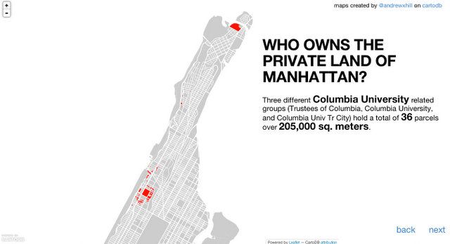
Apparently, Columbia University owns a lot of NYC property, including some land in Inwood. Also, New York City owns the most “private” land in Brooklyn. The MTA/LIRR holds this title for Queens.
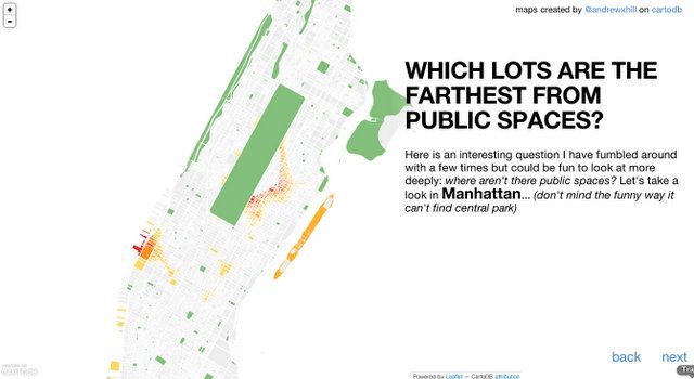
In case you were ever wondering which lots were the farthest from public spaces, there is now a map for that!


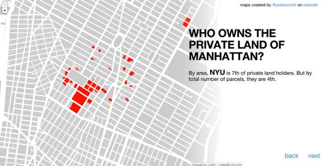 We’d love to see a map showing what the first six private land holders are. Does the