Last Chance to Catch NYC's Holiday Notalgia Train
We met the voices of the NYC subway on our nostalgia ride this weekend!


Lower Manhattan is deeply rooted in history. Not only is it present in the age of the buildings and the irregular shapes of the streets, but every signpost can transport the city wanderer into the past. Back in the days when Manhattan’s streets were named, rather than numbered (before the 1811 plan for the street grid), the name of a street was tied to the character of its neighborhood, and every name has a story. Some tell tales of war and bloodshed, while others evoke idyllic streams or small furry creatures. Many other street names honor historical figures, but there are also those that have been removed from their commemorative origins by spelling errors, mispronunciation, and deliberate mockery.
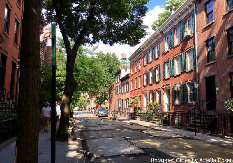
Originally, Barrow Street was called Reason Street, in honor of Thomas Paine’s The Age of Reason (written in 1794). Over time, however, “Reason Street” gradually became “Raisin Street.” This was likely a mispronunciation that resulted from the many accents in New York at the time, but an alternate version of the story holds that the change was a deliberate insult. By the time of his death, Paine had lost his popularity for expressing blasphemous views in the same text the street was named for and he faced derision from the general public.
In 1828, the street was rechristened “Barrow Street” at the request of Trinity Church. Thomas Barrow, for whom the street was named, was an artist and a vestryman at the church. Barrow was well known at the time for his 1807 drawing of the ruins of the first Trinity Church after the fire of 1776. This drawing was widely circulated as a print.
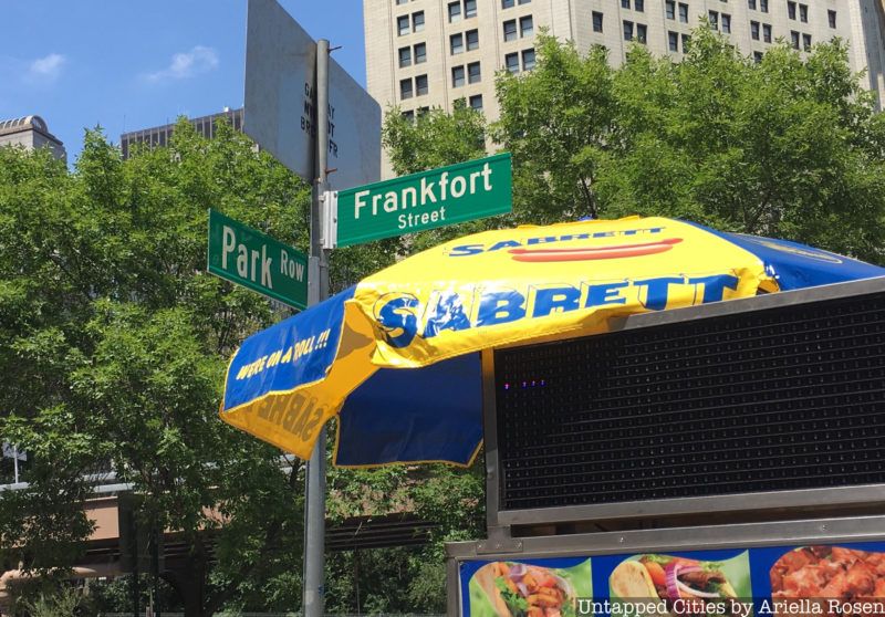
Jacob Leisler, a wealthy merchant and militiaman who had come to New Amsterdam in 1660, named the path leading from his house Frankfort Lane (now Frankfort Street) in a salute to the town of his birth in Germany. As word of the Glorious Revolution in England made its way to the colonies, Leisler led a revolt against the British and seized control of New York’s government (1689-1691). Charged with treason by Parliament, Liesler was hanged at the corner of Frankfort Street, near the old Hall of Records.
Leisler was the only New York governor to be hanged. After he was executed, however, Parliament reversed his conviction of treason and in 1695 restored Leisler’s estate to his heirs. In later years, Leisler was looked upon as a martyr to the cause of constitutional liberty, and Frankfort Lane endured.
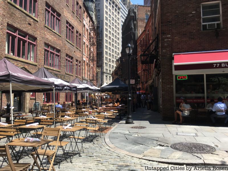
Stone Street got its name in 1658 because it was the first street in New Amsterdam to be paved with cobblestones. At the time, Oloff Stevense Van Cortlandt had a brewery on the street, so it was known as Brouwer (Brewer) Street. However, the brewery horses raised so much dust on the road that the houses and window curtains were perpetually coated in dirt, so Mrs. Van Cortlandt and her neighbors insisted that the road be paved. The city complied, although the residents of Brewer Street were made to cover the cost.
The street’s name was changed to Stone Street in 1794 to commemorate the first paved street. Like many of the streets in lower Manhattan, Stone Street is paved with Belgian block instead of asphalt, so it remains true to its name even today. Visit Stone Street and other Dutch New Amsterdam haunts in our upcoming tour of the Remnants of Dutch New Amsterdam!
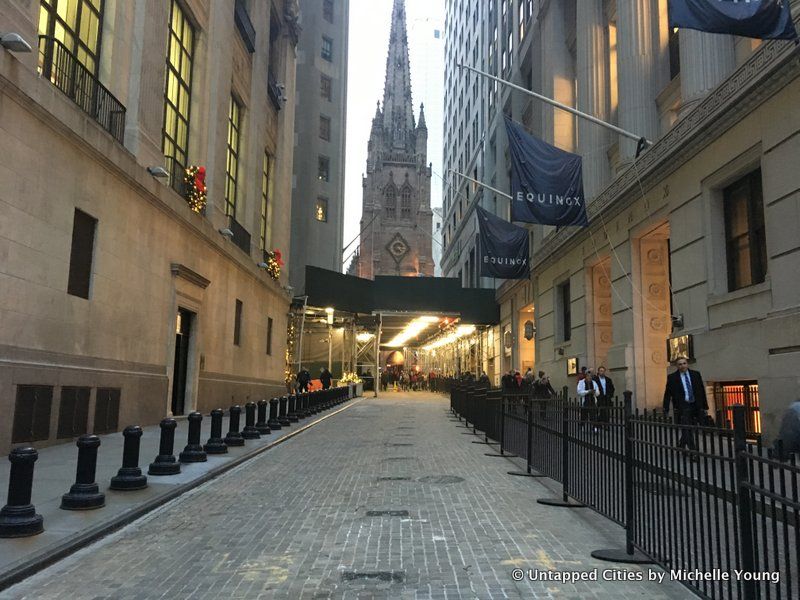
Wall Street gets its name from the wooden wall erected by the Dutch in 1653 to defend the city of New Amsterdam against an attack from the British. The wall, which the Dutch called De Waal, stood 12 feet tall and spanned the width of the island, from the East River to the Hudson (then called the North River). Governor Peter Stuyvesant directed that the project be undertaken by “citizens without exception,” since private contractors were demanding too high a price.
When the attack finally came in 1664, however, the British fell upon the island from the sea, so the wall did not stop their advances. After the British demolished the wall in 1699, the road became a major business thoroughfare in the city. Markers of where the old wooden wall once stood can be at regular intervals running down the center of the paved street.
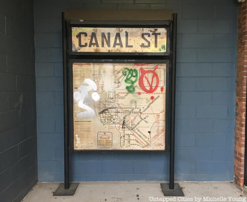
Once a major water source of freshwater in lower Manhattan, the Collect Pond occupied the land between present-day Baxter, Elm, White, and Pearl Streets. By the start of the 19th century, however, the pond had become a dumping ground for wastewater and raw sewage. The polluted, mosquito-infested water was an environmental hazard that needed to be eradicated, so a 40-foot-wide canal was dug in 1807 to drain the Collect into the Hudson.
When Canal Street opened, it consisted of two tree-lined thoroughfares that flanked the canal at the street’s center. After the Collect Pond and surrounding marshland (a result of previous drainage attempts) were drained and turned into solid ground, the canal continued to convey water from the underground spring to the Hudson River. By 1821, however, the canal was covered over with brick and turned into an underground sewer, which runs the same course beneath Canal Street even today.
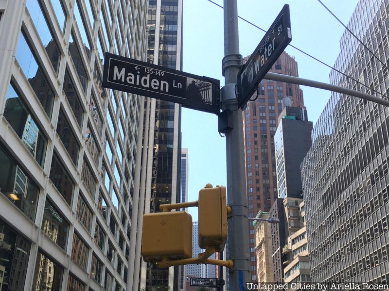
When the Dutch first settled New Amsterdam, a small stream used to run from Nassau Street to the East River, along what is now Maiden Lane. This brook was buried in the 1780s but the name of the present street is reminiscent of the small footpath beside the water. The Dutch called this path Maagde Paetje, or the Virgin’s Path.
The stream was considered one of the most beautiful places in the city and young couples loved to go for strolls along the bank of the brook. The origin of the path’s name, however, is more functional than it is romantic: the grassy banks beside the stream made for an exceptionally good place for doing laundry, so young women frequented the stream to wash and bleach their families’ clothes. It is for these women, and not the young lovers, that the street is named.
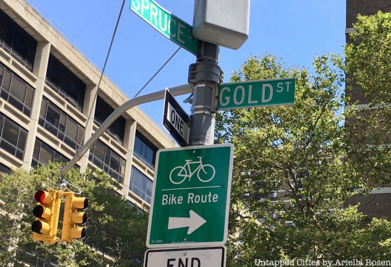
Gold street is named for Golden Hill (originally Gouwenberg), on which it stands. The hill was so named by the Dutch because of the many yellow flowers, which the Dutch called gouwe, that covered the pasture. In January of 1770, however, the golden hill was made red with the first bloodshed during the Revolutionary War (two months before the famous Boston Massacre took place).
The Golden Hill Inn, which sat squarely on top of the hill, had been a meeting place for patriots. It was here that the Sons of Liberty erected a Liberty Pole in 1766 to celebrate the repeal of the Stamp Act. The fighting broke out behind the inn when the British used gunpowder to try to blow up the Liberty Pole. The oldest street in the area of Golden Hill, Gold Street, is just a few feet east of the battleground. At the end of the 19th century, a plaque was put up to commemorate the place where the Battle of Golden Hill was fought, but it has since gone missing.
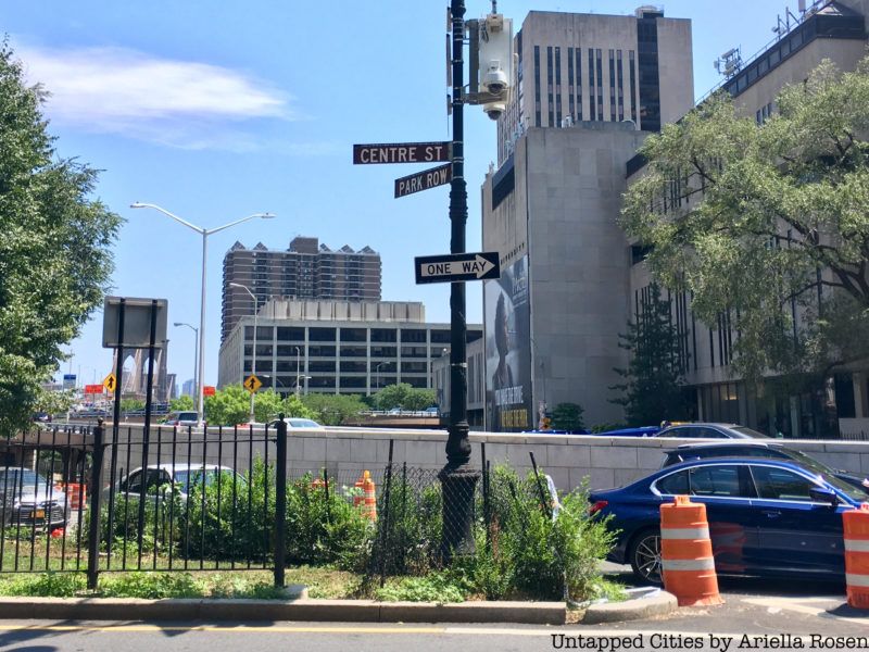
During the days of the Revolutionary War, Park Row was known as Chatham Street, in honor of William Pitt, the Earl of Chatham. On the corner of William and Wall, there used to stand a marble statue of the Earl. It had been erected in 1770 to honor Pitt’s defense of the colonies and his efforts to get the Stamp Act repealed. In 1776, however, the British soldiers pulled down Pitt’s likeness, cut off its head, and dragged the rest of the statue through the mud.
Despite the history of the street’s name and the patriotic sentiment that it inspired, the city chose to rename it Park Row in 1886. The reason for this change, as cited in The City Record, is that Chatham Street had come to have a bad reputation, which deterred customers from visiting the shops along this stretch. The city reasoned that with a new name, the street could get a fresh start. The new name was chosen because the street borders City Hall Park. Some people, like author and Historian Charles Hemstreet, resented this change, which they saw as validating the destruction of Pitt’s statue by the British a century prior.
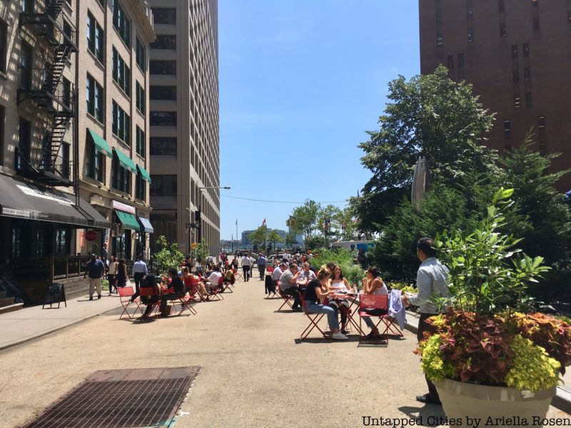
In the early Dutch days of New Amsterdam, Conraet Ten Eyck and his wife, Antje, owned the land surrounding Coenties Slip (and Coenties Alley). Coenties (originally spelled Coentje) is a diminutive contraction of the names “Conraet” and “Antje”—in other words, it is a ship name!
For many years, Coenties Slip was an inlet in the East River where ships were tied up and unloaded. Coenties used to be one of the largest of the twelve slips that used to be in New York City. Filled in 1835, it was the last to be paved over. Today, the former slip (now a couple of blocks inland) is a public park and pedestrian walkway with outdoor seating and a nice view of the water.
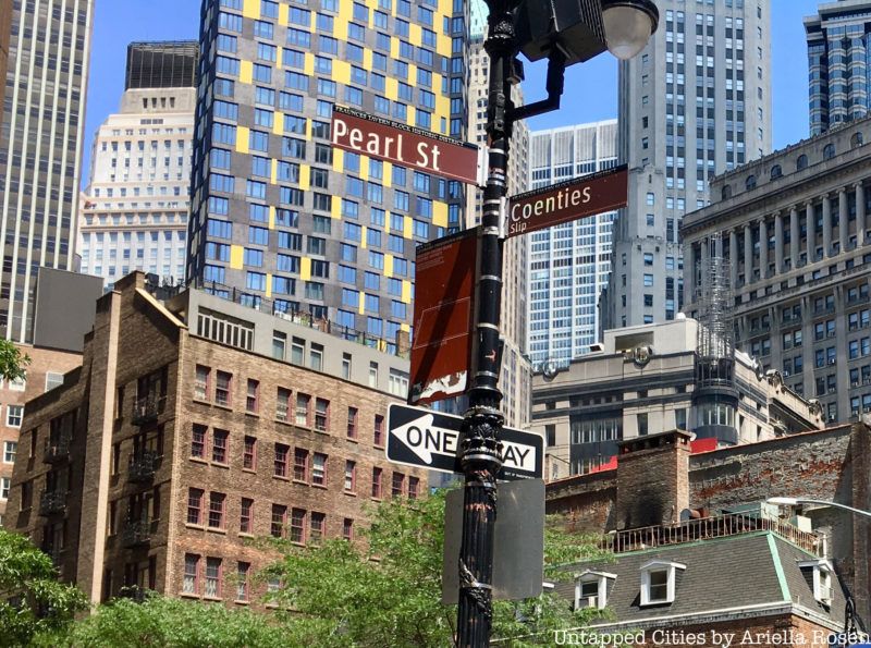
Before Manhattan was expanded to its present size with landfill, Pearl Street ran along the bank of the East River. The street, which started out as a footpath, dates back to the 1630s. The Dutch named it Parelstraat (Pearl Street) after the many oysters that covered the shore in the 17th century. The oyster population in New York Harbor has suffered tremendously over the last few centuries, although there is now an effort to bring them back.
In 1695, during the British colonial rule of the island, the street’s name was changed to Great Queen Street (and then to Queen Street in 1725). As the American Revolution approached, however, this name lost its favor. In 1765, in a display of patriotic resistance to the British, the portion of the road that ran south of Wall Street became Pearl Street once again.
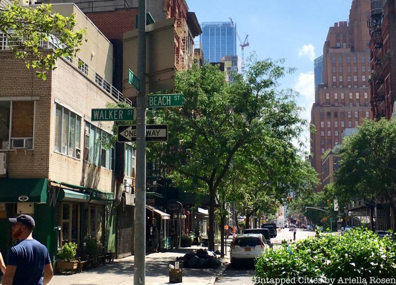
The names of Pearl, Water, Front, and South Streets all reflect the fact that these streets either are or were along Manhattan’s expansive waterfront. It is, therefore, logical to assume that Beach Street, which used to extend all the way to the Hudson River, is similarly named. This assumption, however, would be false. The street was named for Paul Bache, the son-in-law of Anthony Lispenard (Beach Street was laid out along the Lispenard farm). Over time, “Bache” morphed into “Beach.”
What makes this street name a particularly cruel trick, however, is the knowledge that there was, in fact, a beach on Beach Street. As late as 1807, when St. John’s Church was built on Varick Street, the entire region from there until the river was a sandy stretch of beach.
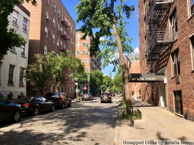
In 1798, a clerk at the Bank of New York (the bank started by Alexander Hamilton) fell ill with yellow fever. Rather than risk having the entire bank be shut down or quarantined in the future, the bank bought eight lots along a lane in Greenwich Village, where it erected a new branch beyond the reach of the epidemic. The lane had yet to be named, so the bank called it Bank Street.
When subsequent yellow fever epidemics struck New York City in 1803, 1805, and 1822, hundreds of the city’s residents fled uptown to the Village, where the air was thought to be cleaner. The new bank branch, which had been built for just this type of emergency, prospered greatly from the exodus. It was not long before other banks and businesses opened new offices uptown as well.
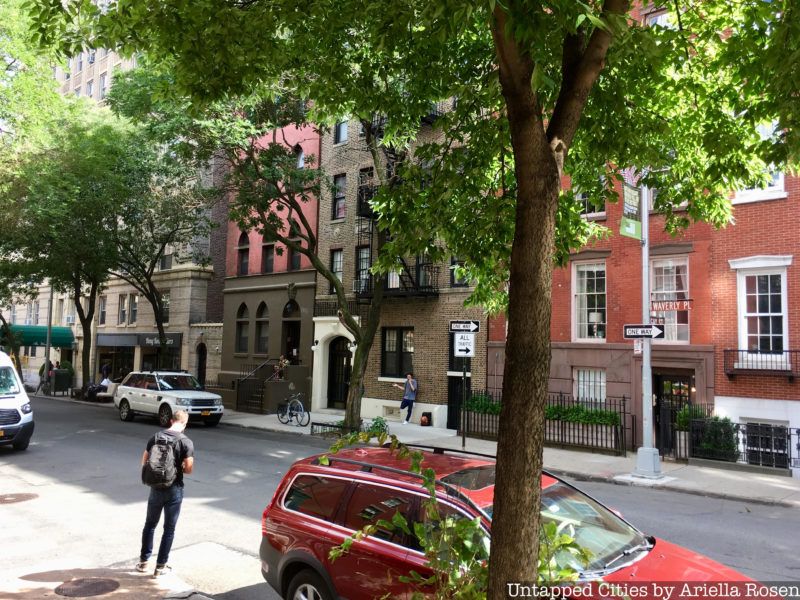
Every street has a story but Waverly Place has an entire book. When the road first opened in the late 1820s, it was called Sixth Street. However, it had long been the custom to have commemorative street names, and the landowners in the area were unwilling to give up that practice. In 1833, the residents of the neighborhood petitioned the city to change the street’s name to “Waverley” Place, after the popular novel by Sir Walter Scott. The name was a memorial to the author, who had died the previous year.
While the title of the book is “Waverley” (spelled with an e before the y), the name on the street signs today is “Waverly” (with only one e). This alternate spelling is the result of a transcription error in the municipal records. The mistake was never corrected, so “Waverly” became the official spelling. Despite this, both spellings can be seen on maps and property listings, even as late as the 1920s.
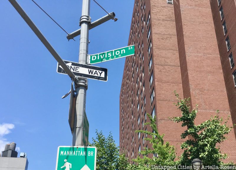
True to its name, Division Street was the partition that divided the farms of James De Lancey and Henry Rutgers in the 18th century. The De Lancey farm ran from Division Street up to Houston Street, and the Rutgers farm ran down to the water. Together, these two farms covered most of the land that makes up what is now the Lower East Side. The name Division Street had already come into use by the start of the American Revolution.
After De Lancey bought his farm in 1765, the two men made a pact that neither one would sell his land. Instead, they agreed to lease parcels of land along the rope walk to the west of Division Street for terms of 99 years. The long-term tenants built over 500 brick townhouses on the combined land. De Lancey, who was loyal to the British, lost his land when the colonies won independence from England. His estate was divided and put up for auction. The Rutgers farm remained intact after the war.
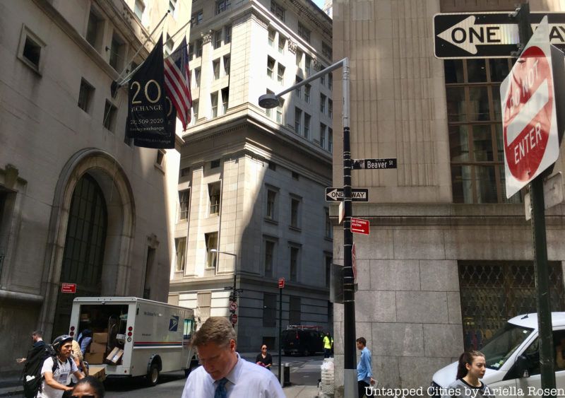
Beaver Street, in Manhattan’s Financial District, has always been associated with trade. The name, which dates to the 17th century, pays homage to the fur trade and its important role in creating the New York City of today. The French began trading beaver pelts with Native American fur trappers even before Henry Hudson’s arrival in 1609. The lucrative fur trade drew colonists to the area, and the Dutch established a trading post in New Amsterdam.
By 1830, John Jacob Astor, a businessman from Germany, dominated the American fur trade. The wealthiest man in the country at the time of his death, Astor invested his fortune in real estate and became the “landlord of New York.” So important was the fur trade in the history of New York, that two beavers are depicted on the official seal of New York City.
Next, check out History of Streets: Functionally Named NYC Streets and 5 Alleys and Small Streets in Chinatown Tell the Neighborhood’s Vibrant History!
Subscribe to our newsletter