How to Make a Subway Map with John Tauranac
Hear from an author and map designer who has been creating maps of the NYC subway, officially and unofficially, for over forty years!


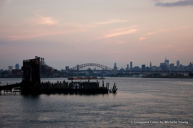
New York City is known for its impressive skyline, gourmet restaurants, and thrilling theater. However, one overlooked aspect of the City is its plentiful waterfront, as waterways encapsulate all five boroughs. While other cities are lauded for their coastal or riverfront amenities, New York’s waterfront presence is often ignored. The City boasts an impressive 520 miles of shoreline, which is both immense and incredibly diverse; it hosts multiple watersheds, countless species, and is ripe for transformation. Moreover, the City maintains a bustling maritime industry, employing 31,000 workers and collecting $1.3 billion in tax revenue.
In order to focus on bringing more New Yorkers to the waterfront, Mayor Bloomberg and City Council Speaker Christine Quinn collectively launched the Waterfront Vision and Enhancement Strategy (WAVES) in April 2010. The initiative spans across city agencies, emphasizing a collaborative effort to establish a sustainable plan for the city’s waterfront. The initiative is two-fold: first, it consists of Vision 2020 which established long-term waterfront goals for the next decade. Secondly, it incorporates the New York City Waterfront Action Agenda which includes 130 projects to be implemented within a three-year span. Projects include improving two miles of city-owned property along the East River Waterfront Esplanade, stretching from the Battery Maritime Building to Montgomery Street and well as Hunter’s Point South, a chrysalis of mixed-use mid-income housing on nearly 30 acres of Long Island City waterfront.
After years of focusing on its avenues and skyscrapers, New York has begun to recognize the waterfront as one of its most vital and underutilized assets. However, as Hurricane Sandy has recently shown, the city also needs to consider the effects that climate change and increased frequencies of natural disasters will have on new coastal developments and communities. The costs of evacuations, rescues, and property damage should be evaluated when allocating land use in waterfront plans.
This article was originally published on our partner site URBAN Magazine, a production of Columbia University’s Graduate School of Architecture, Preservation and Planning.
Subscribe to our newsletter