Exploring New York’s Industrial Past in "Cathedrals of Industry"
Join photographer Michael L. Horowitz for a journey through 50 years of photographs!


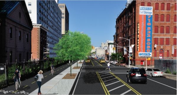
On May 4th and 5th the Municipal Art Society hosted its annual Jane’s Walks NYC, a series of 100+ guided walks and bike tours throughout the five boroughs. The walks covered everything from historical tours of neighborhoods to Sandy recovery efforts in storm damaged areas. We joined an exciting walk led by The Brooklyn Greenway Initiative which showed off sections of their planned 14 mile waterfront greenway. More than just a bike lane, this greenway will provide efficient connections between Brooklyn’s emerging neighborhoods and new parks as well as add green infrastructure to the roads on which it will be implemented.
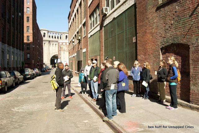
Our tour was led by Milton Puryear, lead planner and co-founder of the Brooklyn Greenway Initiative and Michael Porto, an urban planner and board member. As a co-founder, Mr. Puryear has been involved with the Brooklyn Greenway Initiative for over ten years. In the beginning the project was an idea between neighbors living in the Columbia Waterfront District, but after attracting interest and support from the Regional Plan Association they are now overseeing implementation and will eventually manage stewardship of the greenway.
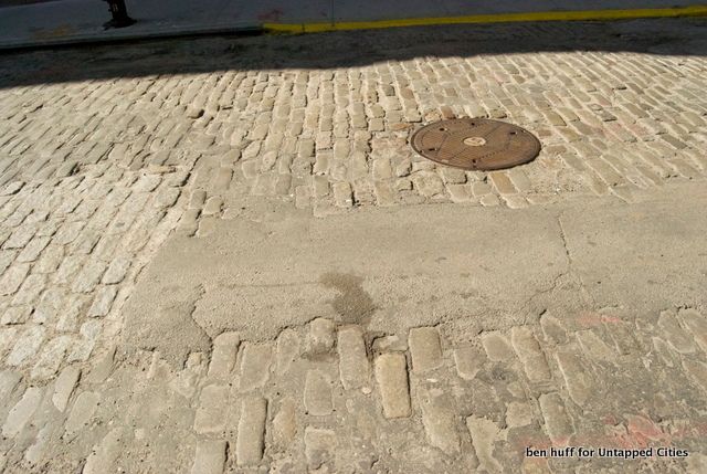
Our tour started with a walk along Water Street, the designated road the Greenway will be built out on in Dumbo. Water Street is a good example of the challenges that the Iniatitive has encountered on this long planning process. The roads of Dumbo are made out of historical belgium blocks, and the subsurface utilities are quite old. In order to accommodate bikes and support green infrastructure a lot of work has to be done, while getting support from local residents.
Following along Water Street through Vinegar Hill (where we smelled the amazing aroma coming from Damascus Bakery) we came along to the edge of the Navy Yard. We ventured off the Greenway’s path a bit to explore a special landmark, the federal style Commandant’s House.
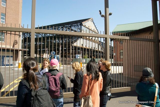
Continuing our walk along the edge of the Navy Yard we stopped at the recently renovated Sands Street Gate to discuss the recent economic development happening within. It’s impressive to see the rebirth and reuse of such a large site that had been very empty after being demilitarized. However, despite all the advantages of the Brooklyn Navy Yard has for industrial and commercial tenants, transit access has been difficult for the sprawling site which is located relatively far from many subway stops. Improving overall access via the Greenway is intended to encourage bicycle commuting for the workers. In fact, bike lanes are already present on the Navy Yard’s grounds. Speaking of cyclists, as we continued to walk around the site we were passed by the colorfully adorned five borough bike tour riders passing us along Kent Ave.
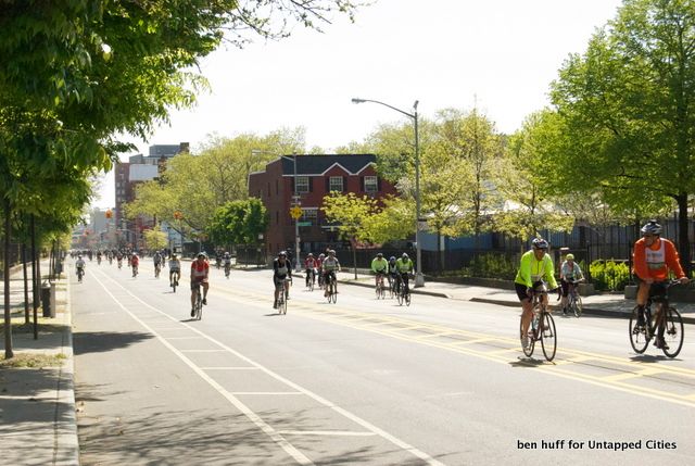
It is fitting that the bike tour passes along Kent Ave., as this is a key stretch of the planned Greenway.
To get a better understanding of the types of projects that the Brooklyn Greenway Initiative is helping spearhead beyond the greenway, our guides led us to the abandoned Brooklyn Navy Yard Hospital.
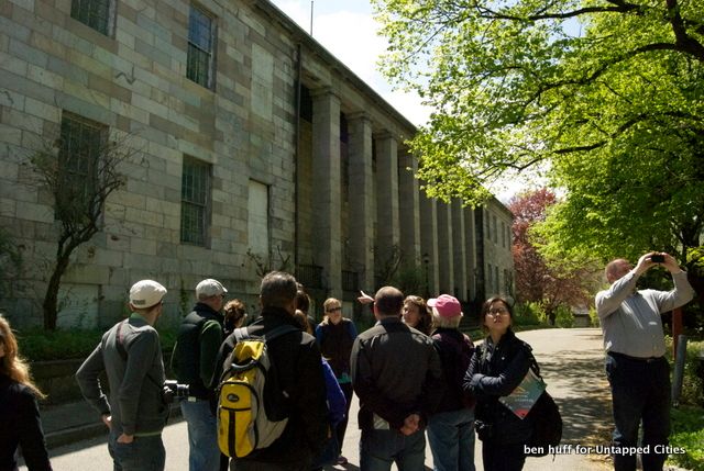
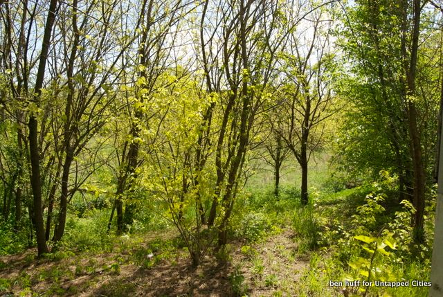
The purpose of exploring these 20 acres of closed off land was to show the abandoned Cemetery, which the Navy Yard Development Corporation and the Greenway Initiative are proposing to turn it in to a landscaped park with native plants.
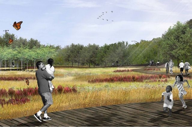
The Greenway’s proximity to the waterfront, the challenges its supporters have experienced trying to weave through multiple neighborhoods and its focus on transportation are very similar to Robert Moses efforts to build the Brooklyn Queens Expressway. But it is there that the similarities stop. The BQE really split apart neighborhoods as is very evident in neighborhoods like Ft. Greene and Williamsburg. The Greenway, by contrast, acts as an extremely attractive connector between neighborhoods. Whereas roads typically add to storm water management issues and can be bad for local water quality, this greenway will reduce these hazards by applying significant green infrastructure. And finally, the Greenway is a very forward way of thinking about the new Brooklyn Waterfront. As heavy industry is replaced by new residential and commercial space, this project will allow us to easily reclaim the space for walking and biking for commuting or recreation.
Although we technically did not finish the walk to our destination in Williamsburg, what we did see was more than enough to contemplate and become enthusiastic for the future of the Brooklyn Waterfront Greenway. When considering the focus of pedestrian activity, health and connectivity that are the foremost goals, I could only think how appropriate this tour was part of Jane’s Walk NYC; as surely Jane Jacobs would be a supporter (if not a board member!) of the Brooklyn Greenway Initiative.
Subscribe to our newsletter