Last-Minute NYC Holiday Gift Guide 🎁
We’ve created a holiday gift guide with presents for the intrepid New Yorker that should arrive just in time—


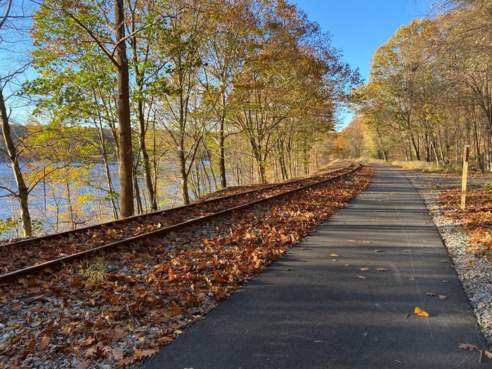
If your New Year’s resolution is to exercise more or to get outside, the newly completed Empire State Trail can help you achieve those goals. This scenic hiking and biking path, which runs through New York State, stretches over 750-miles, starting from The Battery in Manhattan and running north all the way to Canada and west from Albany to Buffalo. Cutting through the Hudson Valley, the Champlain Valley, and running along the Erie Canal, it is the longest multi-use trail in the entire nation!
 Courtesy of the Metropolitan TransportationAuthority of the State of New York
The Empire State Trail comprises fifty-eight different projects completed by state and local partners, connecting twenty different regional trails. Those projects added 180 miles of new off-road trail and connected 400 miles of previously separated trails for one continuous pathway. Improvements to trails included adding new signage, gateways, and trailheads, and installing interpretive panels, bike racks, and benches. Perfectly suited for outdoor activities like bicycling, hiking, running, snow-shoeing, and cross-country skiing, the Empire State Trail is open year-round. The statewide route connects twenty different regional trails.

Courtesy of the Metropolitan TransportationAuthority of the State of New York, Source: Thomas J. MacNamara
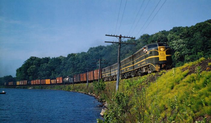
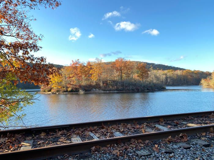
One of the most recent new sections of the trail to open is the Maybrook Trailway in Dutchess and Putnam Counties. The trailway makes up 23-miles of the statewide route and runs alongside the former Maybrook Railroad Company railroad tracks. This unused railroad line which bends around the 2.5-mile-long Whaley Lake, is currently owned by Metro-North and known as the Beacon Line. New York, New Haven, and Hartford Railroad trains like the late 1940s diesel-powered freight train pictured above once rode the rails.

Courtesy of the Metropolitan TransportationAuthority of the State of New York
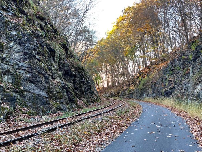
The new trail is
8- to 10-feet-wide and paved with asphalt. The trail offers a relatively flat trip that winds through rural landscapes and wooded areas with seasonal waterfalls.You can find trailway’s southern trailhead in the Village of Brewster. The path then runs northwest to the hamlet of Hopewell Junction and passes through the towns of Southeast, Paterson, Pawling, and Beekman, ending in East Fishkill. Along the way, the path connects to existing trails, including the Putnam Trailway and the William R. Steinhaus Dutchess Rail Trail, and
the Appalachian Trail.You can easily access the trailway from Metro-North stations at Poughkeepsie and Brewster or from the northern terminal of the 1 line at 242 St-Van Cortland Park.

Courtesy of the Metropolitan TransportationAuthority of the State of New York
Before you head out on an Empire State Trail adventure, check out their website for helpful resources, including segment descriptions, access points, trail distances, parking areas, restrooms, and nearby amenities and attractions. You can also download and print maps or cycling “cue sheets” with highly detailed directions. Happy hiking!
Next, check out 10 NYC Hiking Trails to Try and Soul-Replenishing Bike Rides and Treks in NYC’s Five Boroughs
Subscribe to our newsletter