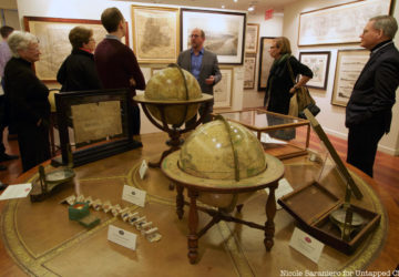
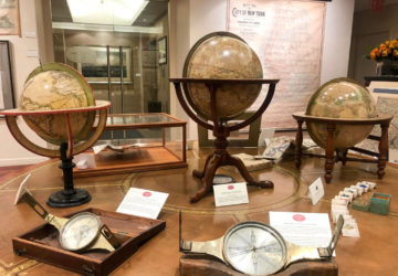
From the colonial depictions to 20th century subway maps, check out highlights from Untapped Cities Insiders' trip to Martayan Lan's exhibit of antique NYC maps!
See one of the first subway maps on a special walkthrough of the Martayan Lan Gallery's antique map exhibit, "New Amsterdam to Metropolis: Historic Maps of NYC"!
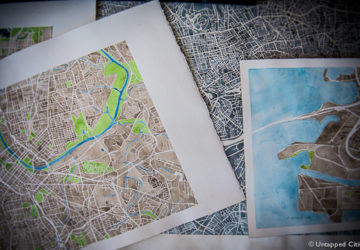
Denver artist Anne McGraw hand paints water color maps of cities using Google Maps. We chat with her about her process, Denver urbanism, and architectural background.
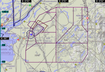
Check out these maps included in the COA applications of organizations that want to fly drones over New York.
There are many struggles for preservation in NYC and Curbed NY compiled a map of 10 of the current most intense struggles–from the RIzzoli Bookstore to the Four Seasons
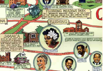
This fun illustrated map by Ephemera Press traces the Queens Jazz Trail, showing the homes of many 1920s jazz musicians and places of interest to jazz fans.
A look at historic New York City Subway maps, starting in 1904, when the IRT, BMT and IND companies ran independent subway systems through Manhattan, Brooklyn and Queens. Plus, the MTA's Second Avenue Subway map with the new T Train.
127 beautiful and extremely detailed aerial maps, forming a complete map of NYC in 1924, show a growing city in its adolescence.
In his book, Continuous City, Brian Foo re-imagines New York City as a city constantly in flux, taking on forms and shapes that are entirely different from the grid-like design we have become accustomed to.
Eric Fischer, self described as a “geek of maps, data visualization, failed transportation plans of the past, history of technology,
