Last-Minute NYC Holiday Gift Guide 🎁
We’ve created a holiday gift guide with presents for the intrepid New Yorker that should arrive just in time—


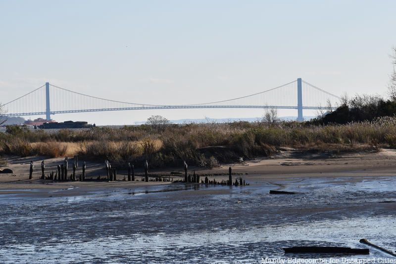
Originally called “Kewan’s Point” by Dutch settlers and full of cherry trees as far as the eye could see in the mid 1600’s, the Caven Point Natural Area at Liberty State Park in Jersey City is a 235.9 acre salt marsh with tidal uplands, wetlands, a tidal creek, and intertidal zones in the Hudson River estuary, 22 of those acres are dry land and beach. It is one of the two last remaining and intact salt marshes in New York Harbor.
In the 1970’s before the land was acquired by the State of New Jersey for what was then just called Liberty Park and only consisted of 35 acres further north, you’d see hundreds of people fishing for striped bass or flounder, crabbing for blue claw crab, and picnicking on the beach. The water was not as clean then as it is now, but Caven Point was a welcome respite to Jersey City inhabitants who might not have afforded a tank of gas out of the city on the weekend. The abundance of wildlife seen today is the indication that waters are cleaner then in previous decades.

When out in Caven Point you quickly realize how special this place this. Just picture what this whole harbor might have looked like almost 500 years ago when Giovanni Da Verrazzano saw this harbor. Caven Point is as close as you can get to that picture. This land has been disturbed over the years and contains a portion that is a restored salt marsh, but enough years have gone by that nature has taken over and a successful ecological food web has been re-established and the restored areas blend in with what was already there. Most of the material came from the dredging conducted by the Army to create Caven Point Army terminal during World War II, so there has been plenty of time for it to be reclaimed by river processes.

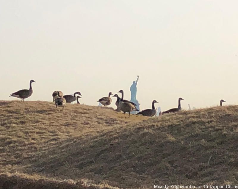
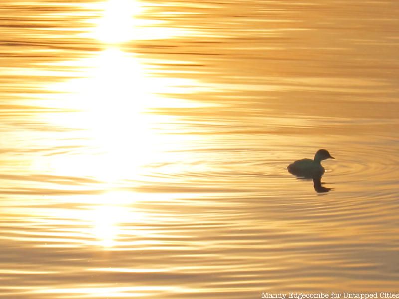
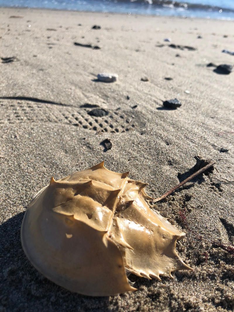
There are times that the reed grasses and taller upland shrubs along the path you walk towards the shoreline that block out the entire city. Once you reach the shoreline you are greeted by Lady Liberty waving her torch at the old world and Brooklyn. There are little islands in salty lakes where ducks, snowy egrets, blue crowned night heron and black skimmers hunt during the summer. As you walk along the dunes in the winter months you see horseshoe crabs shells from lives long lived and stopping here before continuing their migration that has been occurring for millions of years. You’ll find shells of myriads of creatures including oysters, clams, moon snails, and perhaps confusingly, a ton of coal. The Morris canal basin is at the North end of Liberty State Park and plenty had fallen off boats over the years of it passing through and it floats so the current easily deposits it on the shores of the Park. Last year a snowy owl camped out near Caven Point for over a month land we got a few shots! Photographers at Liberty State Park love catching sunrises particularly. Often wildlife is out then too, not only does the light dance beautifully on the Park.

Caven Point is open to the public for hiking from October 1st to March 31st of every year. It is closed in summer and spring for migratory bird nesting. Its easy though during these months to catch a glimpse of great egret or mussel beds from the waterfront walkway or even a kayak. The park provides kayak tours in the summer to Caven Point, see their summer schedule for details.

Photo by Mandy Edgecombe
The Friends of Liberty State Park is the non-profit that works to protect, restore, and serve Liberty State Park to keep it free and green for the public for many years to come. They have just recently saved Caven Point from development! There are many ways to get involved and volunteer or enjoy programs they offer. To see what they are up to click here: https://www.folsp.org
Next, check out The Top 10 Secrets of Liberty State Park
Subscribe to our newsletter