Exploring New York’s Industrial Past in "Cathedrals of Industry"
Join photographer Michael L. Horowitz for a journey through 50 years of photographs!


In the 1990s photographer Grégoire Alessandrini documented the streets of New York City through his eyes as a young film student and writer at CUNY. He made his career as a journalist in his native France and for the last fifteen years has been the Executive Video Producer and Director at Louis Vuitton. His photos of the Meatpacking District, Times Square Celebrities, Coney Island and iconic diners of the 1990s have previously been featured in our Vintage Photo column. Yesterday, as he shelters in place in Paris while his daughter is here as a student in New York City, he sent us an email with his latest work.
Visiting New York City in the summer of 2019, he took the opportunity to retake photographs from the same place he had originally shot them. He writes, “I thought time had come to explore Manhattan again with a camera, wandering aimlessly in this transformed city, from Harlem to Battery Park, East to West End. My Nikon film cameras have been stored for quite some time and my new companions are now Fujifilm digital cameras. These long walks in the NYC summer heat brought me back to some locations I had photographed in the 1990’s.”
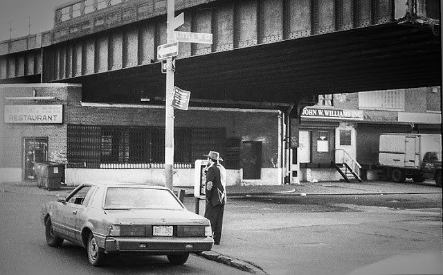
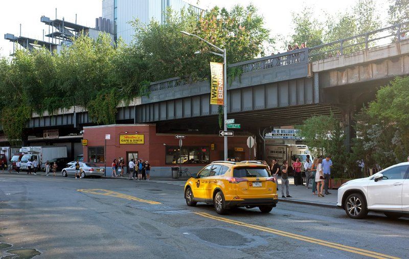
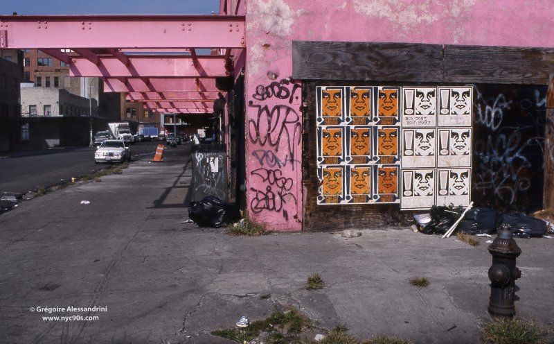
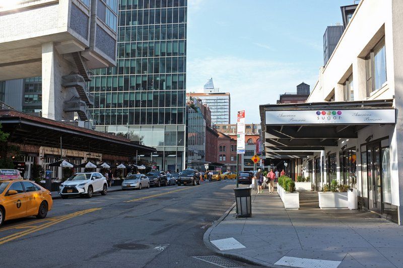
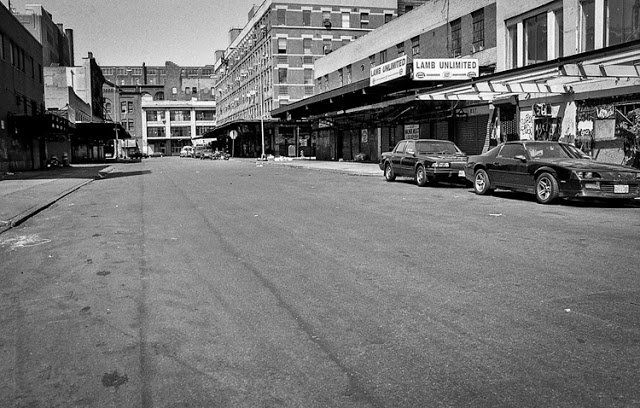
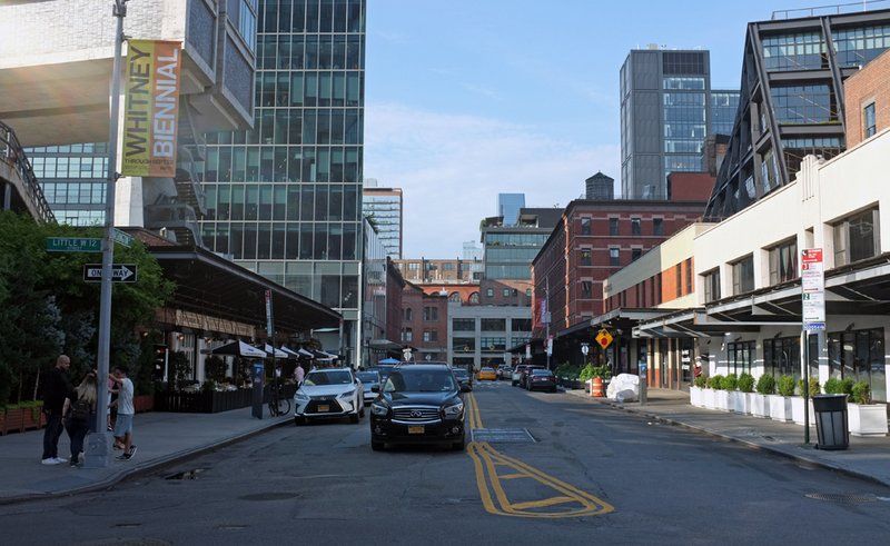
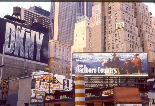
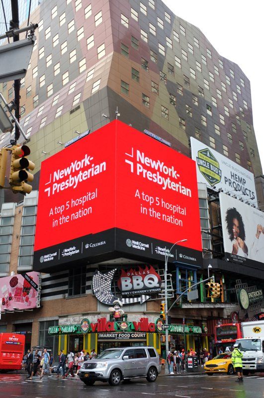
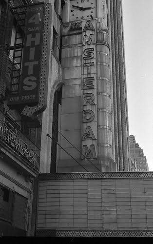
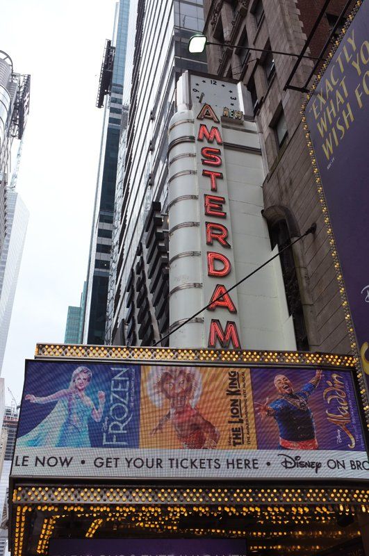
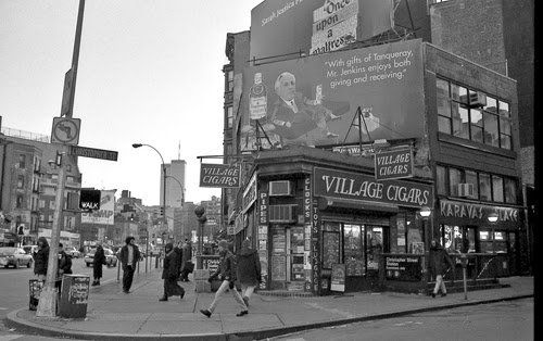
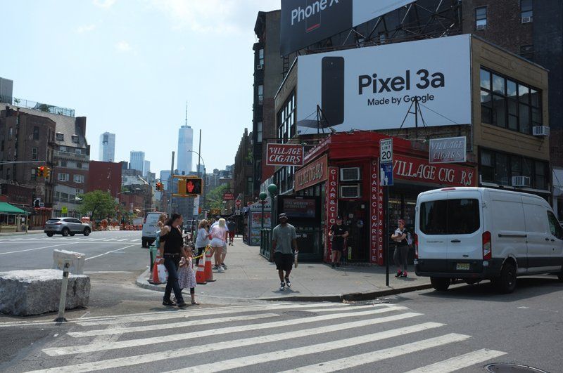
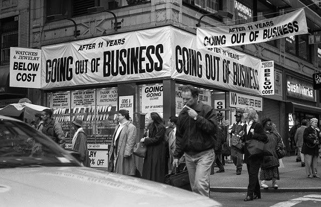
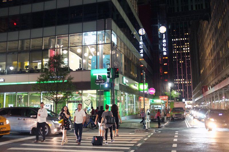
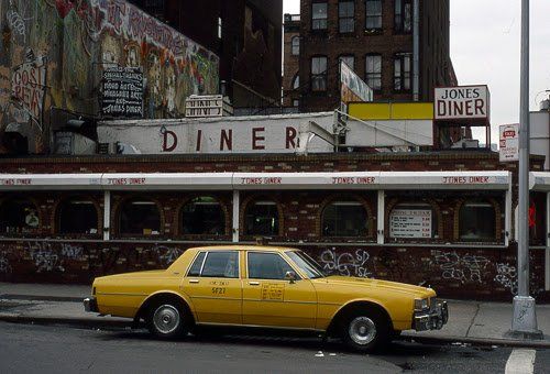
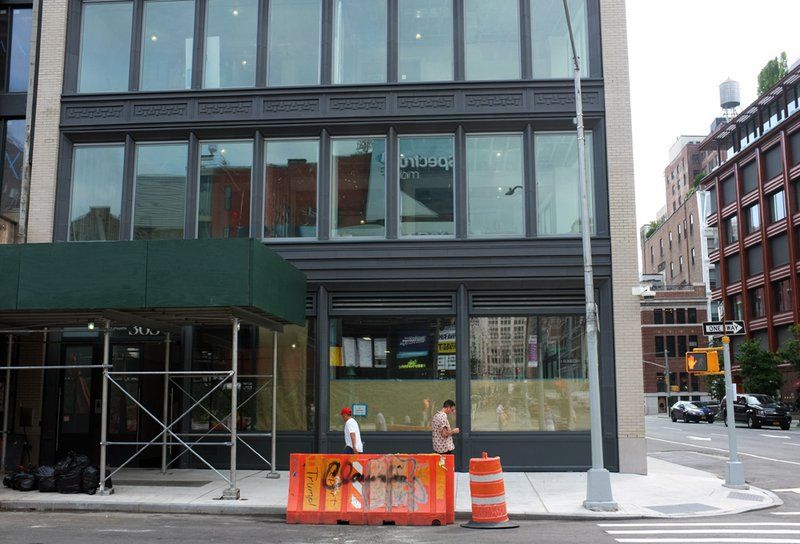
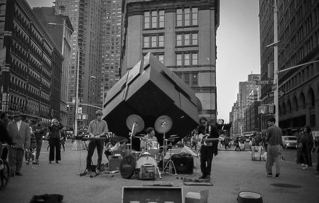
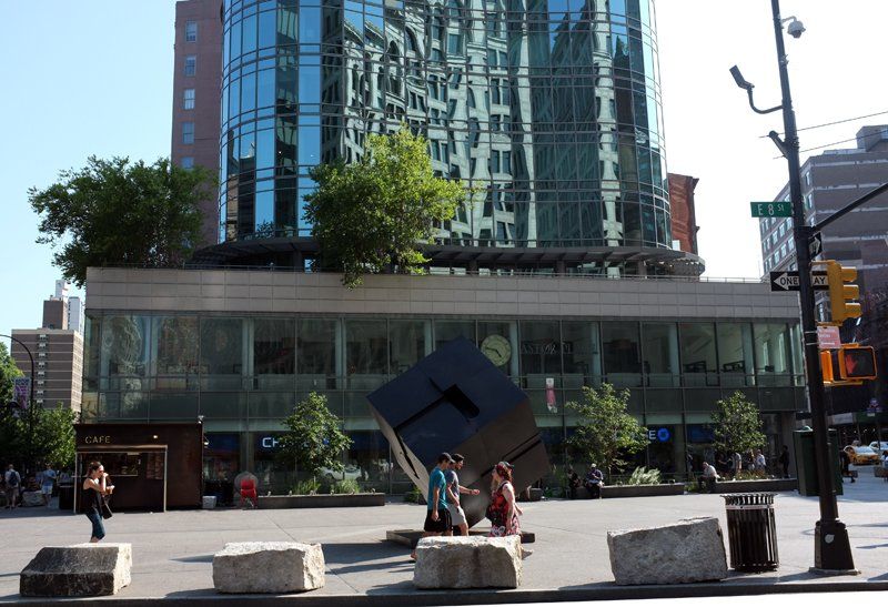
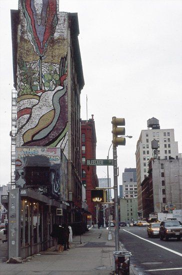
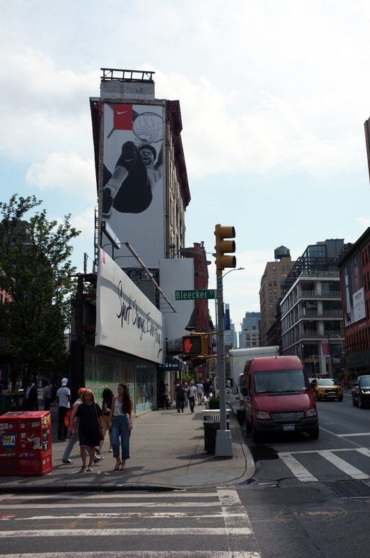
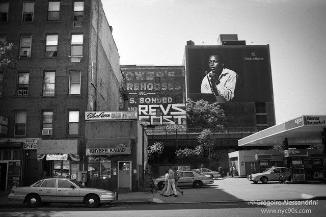
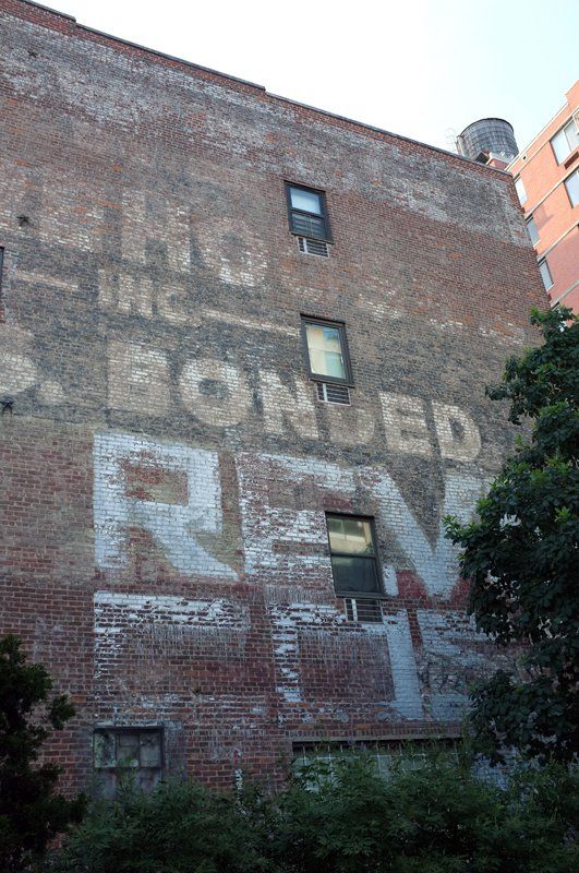
Now only visible from the High Line but still present!
Next, check out more from Grégoire Alessandrini on Untapped New York. All photos in this article by Grégoire Alessandrini.
Subscribe to our newsletter