Last-Minute NYC Holiday Gift Guide 🎁
We’ve created a holiday gift guide with presents for the intrepid New Yorker that should arrive just in time—


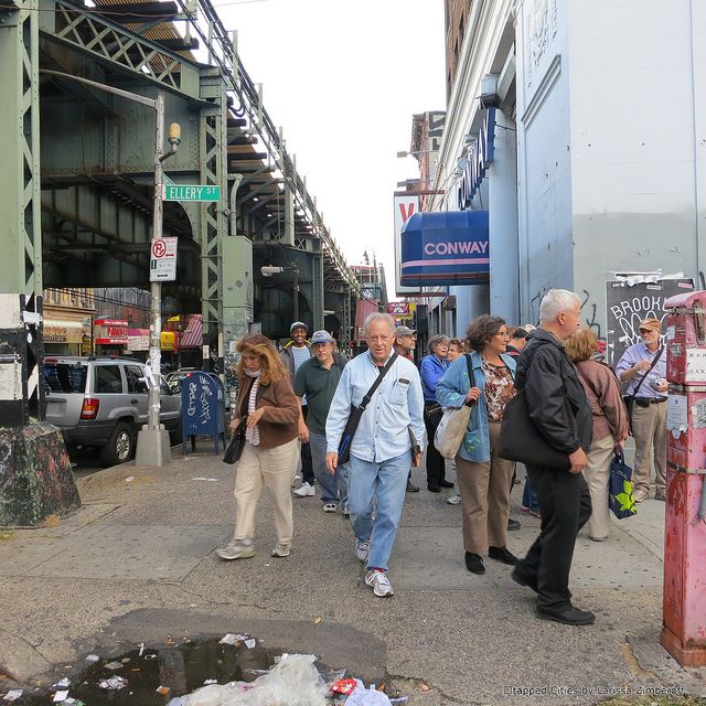
We started our Sunday morning far from home. We were milling about on a subway platform, with around thirty other people, trying to stay warm. We had all convened for a daylong tour of the neighborhoods along the J train, starting in Brooklyn, winding our way to Queens and then back again, ending at the Essex Street station in the Lower East Side. Our tour guide for the day was Jack Eichenbaum, who also leads tours for the Municipal Art Society of New York and is the official Queens Borough Historian. Born and raised in Queens, Jack has a passion for the history of the city that immediately sweeps you up in nostalgia.
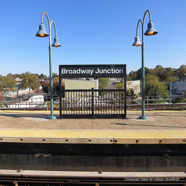
The Broadway Junction subway station complex, our starting point for the day, is notable for three reasons. It’s one of the highest elevated platforms in the city, it has an art installation of 75 glass mosaic panels by artist Al Loving, and all eastern rail lines have to pass through this station. From my high vantage point, I could see tracks running every which way, some with giant bends that looked worthy of a roller coaster.
Jack took us back in time, to 1885 to be exact, when the J train was originally part of the Brooklyn elevated train and, if you wanted to get into Manhattan, forget about the Williamsburg Bridge–you had to take a ferry. The J train is actually an amalgamation of three above ground lines: the Broadway Elevated, the Canarsie Railroad Company and the Fulton Street elevated. Fun fact: the section between Alabama Avenue and Cypress Hills, built in 1888, is the oldest surviving transit structure that exists in the subway system.
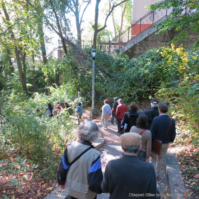
Our motley group of history buffs boarded the J train eastbound, with Jack providing a steady stream of facts on the ride. (Did you know that the names of many streets in Flushing follow an arboreal theme because at one time the neighborhood was home to many a nursery?) At the Van Siclen Avenue stop we disembarked and headed uphill to wander the Highland Park neighborhood. Churches would often settle in new neighborhoods, like Highland Park, picking the best spots, inhabiting them first and then pulling in congregants. Jack told the group how the area had evolved in its demographics and then, pointing to a thin line of blue in the distance, noted we were looking at Jamaica Bay. Highland Park actually straddles the Brooklyn/Queens border.
We meandered down the shade dappled steps of the park, making our way back to the Van Siclen Avenue stop where the group reboarded the train and headed east once again. Off in the distance, from a north facing window on the train, we could see Cypress Hills cemetery. Another fun fact: long ago, traveling to a cemetery on the weekend for a picnic was a typical middle class outing. The cemetery also has several noted people you can visit, among them Piet Mondrian, Jackie Robinson and Mae West to name a few, plus 235 soldiers of the American Civil War.
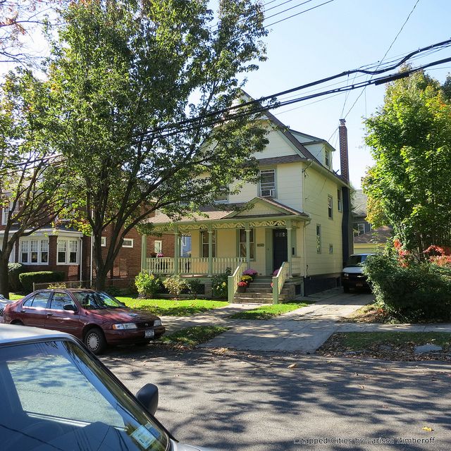
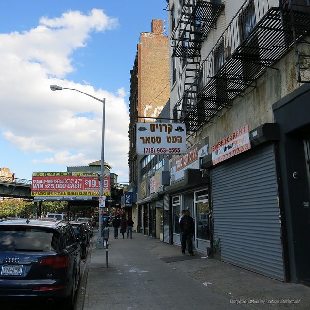
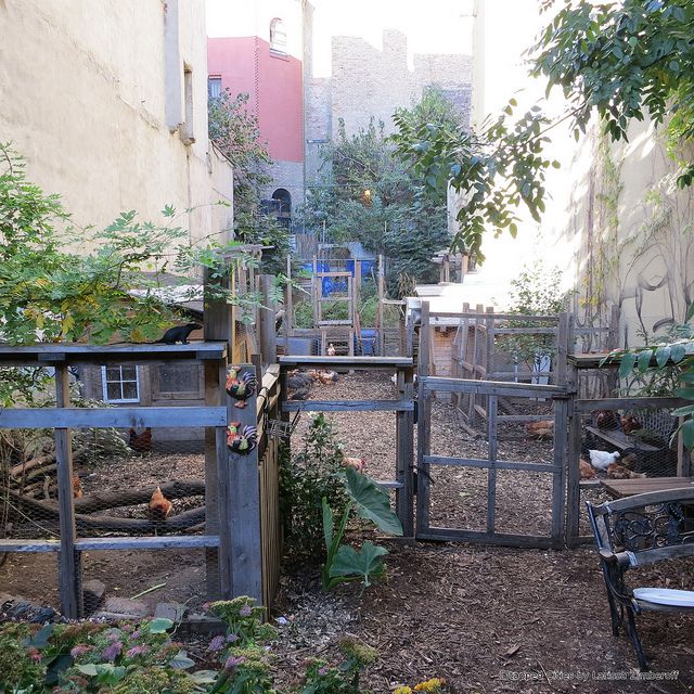
It was a full day of architecture sightings, city musings, and historical background. We walked around the Victorian homes in Richmond Hill, the urban streets of Jamaica, Queens, which was originally a Portuguese neighborhood, the historic houses of Bushwick and the remnants of old breweries that are no more, the vibrant Hasidic neighborhood on the south side of Williamsburg along Roebling Street, and finally, almost eight hours later, our tour wrapped up with a short walk along the Lower East Side.
If you’d like to take a tour with Jack make sure you bring snacks and water to keep up your energy, and, if you’re like me, a pen and paper to write down all the cool little details. His next train tour is in April, the World of the #7 Train.
Subscribe to our newsletter