Last-Minute NYC Holiday Gift Guide 🎁
We’ve created a holiday gift guide with presents for the intrepid New Yorker that should arrive just in time—

![See the Entire 3.5 Mile Stretch of the QueensWay, LIRR's Rockaway Line Branch [VIDEO]](/content/images/size/w100/wp-content/uploads/2013/06/img_3767.jpg)
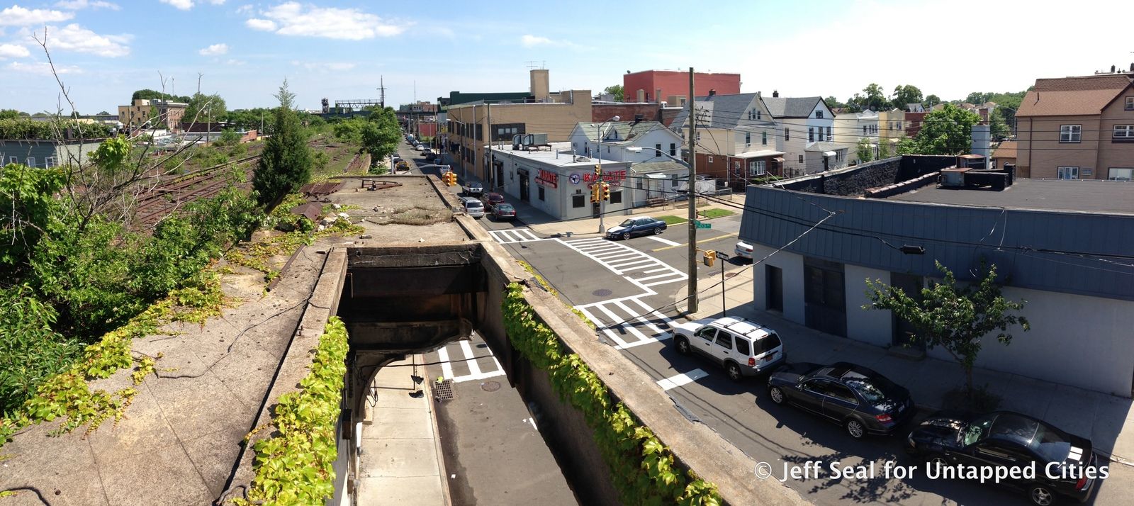
There has been much debate about the QueensWay, a plan for turning the defunct Long Island Railroad Rockaway Branch into a public park like Manhattan’s High Line. The 3.5 mile stretch starts in Rego Park and terminates at Rockaway Blvd in Ozone Park. While additional public space would undoubtedly be positive for Queens, there have also been calls to re-activate the rail line to address underserved transportation areas. Earlier, we took a look at the baseball graveyard discovered along the QueensWay by Will Ellis of AbandonedNYC and explored the non-elevated portion of the QueensWay. Today we’re sharing this video by Untapped contributor Jeff Seal, who traversed the entire length of the QueensWay. The film shows the train tracks passing through fallen trees and bushes, over bridges and elevated railways–there are even two abandoned passenger platforms. For more, see the panoramic photos taken by Jeff, below.
Governor Andrew Cuomo awarded a $467,000 feasibility study last year, and the Trust for Public Land subsequently launched a request for proposals for a QueensWay Bike Path. The winning design will be announced at the end of this month.


Passenger platform on Atlantic Avenue

Elevated section between 99th and 100th Street in Ozone Park

Passenger platform on elevated section between 99th and 100th Street


Hole in passenger platform where stairs once led to the street
Jeff Seal previously showed us how to train hop in NYC, see more from on his Vimeo channel.
Subscribe to our newsletter