Last-Minute NYC Holiday Gift Guide 🎁
We’ve created a holiday gift guide with presents for the intrepid New Yorker that should arrive just in time—


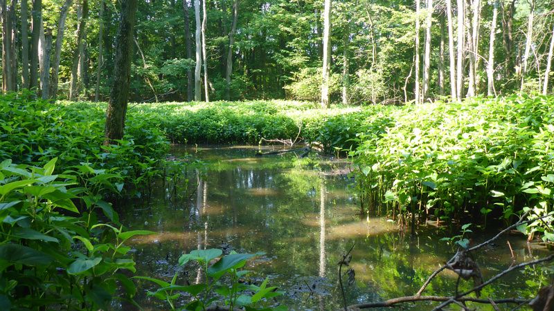
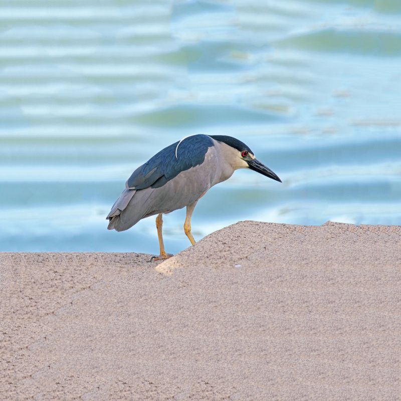
To an outside observer, the Graniteville Swamp is a picturesque wetland located on the northern shore of Staten Island. Surrounded by strip malls and service roads, it offers an escape from the industrial area around it. Black-crowned night herons and yellow warblers jet across the sky, narrowly missing the branches of red oak trees. In the water, muskrats and spotted salamanders swim below while flowers float on the surface.
Soon though, with rising sea levels and new development projects, this idyllic landscape and other wetlands like it across the city may no longer exist. To prevent this from occurring, on May 19, 2021, the Natural Areas Conservancy (NAC) and NYC Parks announced a brand-new Wetlands Management Framework for New York City.
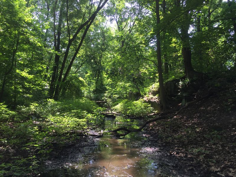
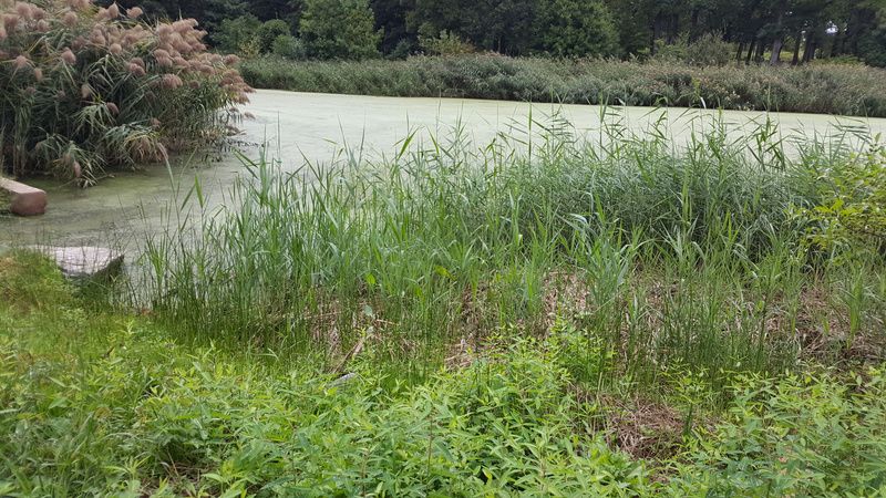
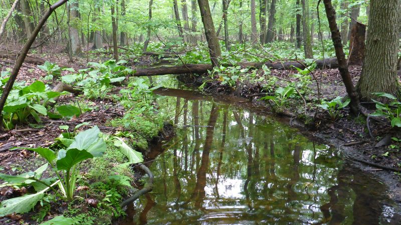
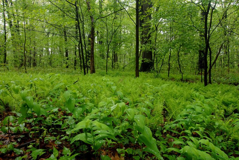
The projected 30-year framework is the most extensive plan ever created for the continued protection, restoration, and care of the city’s wetlands. According to Sarah Charlop Powers, Executive Director and Co-Founder of NAC, “New York City has never before had a plan this comprehensive for the management and restoration of its remaining salt marshes, streams, and wetlands.”
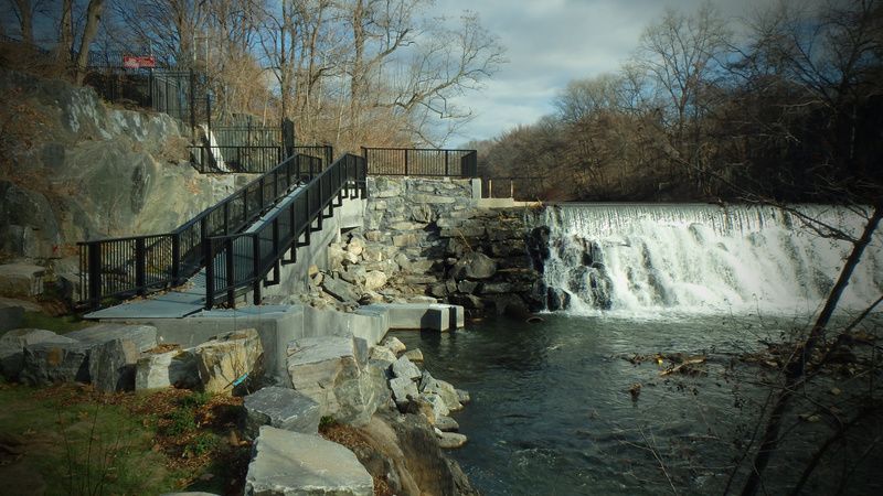
Wetlands are areas saturated by surface or groundwater. Examples of wetlands include swamps, marshes, and bogs. In New York State there are two types of wetlands that are the focus of protection. These include tidal and freshwater wetlands. Tidal wetlands can be found down the Hudson River from the Troy Dam to the southern tip of Staten Island and along the shoreline of Long Island. Freshwater wetlands can be found on river and lake floodplains across the state.
However, since the 1600s, over 85% of the city’s salt marshes and streamlines and 99% of its freshwater wetland habitat have been lost. Due in large part to climate changes and industrial expansion, only 5,650 acres of wetlands remain.
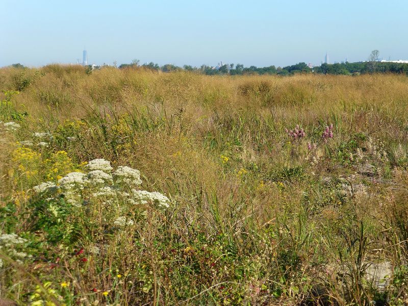
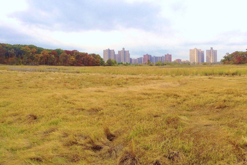
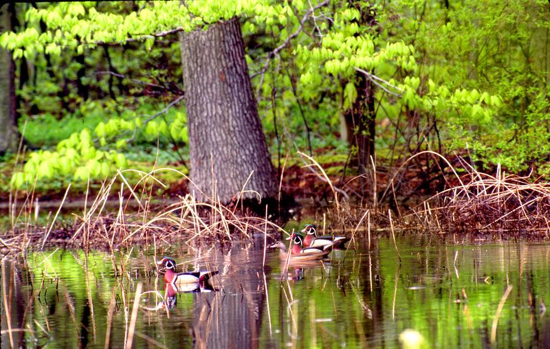
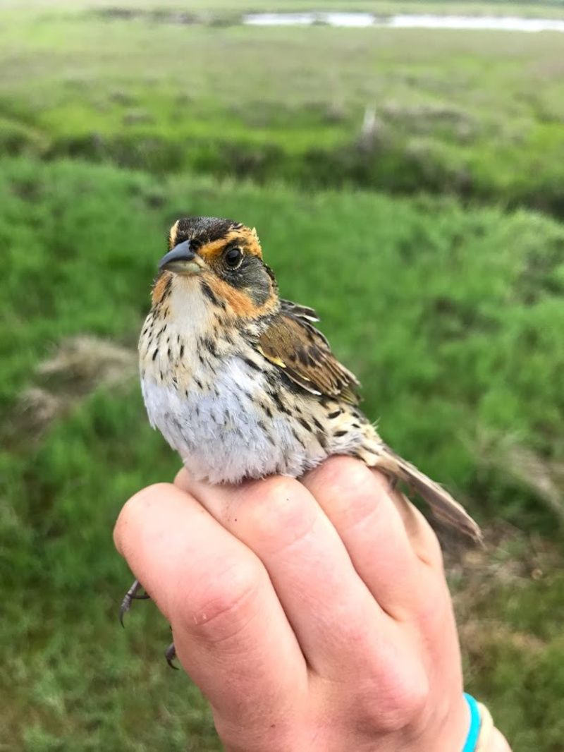
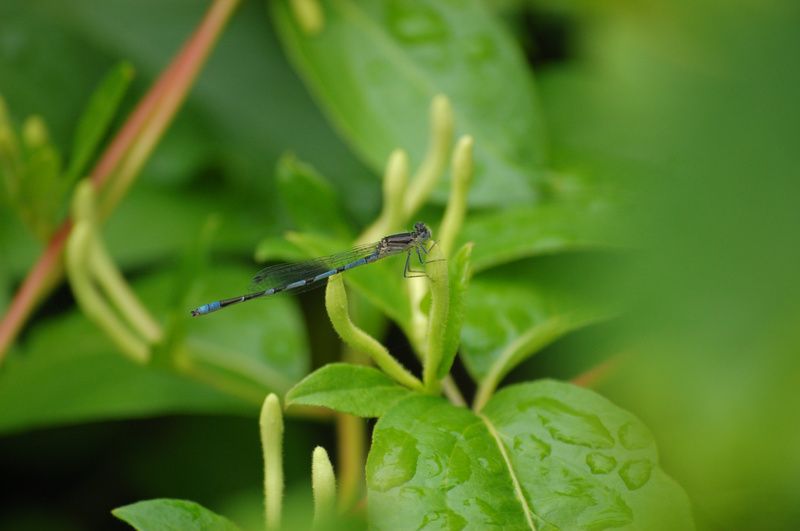
Though wetlands might not be the first thing that comes to mind when considering the city’s natural landscape, they play an important role in maintaining the balance of the city’s diverse ecosystem. Currently, city wetlands support the breeding and foraging habitat for more than 325 species of birds, 315 species of plants, and 200 species of fish. Wetlands are also crucial in helping keep the city’s water clean. They do so through capturing rainwater and filtering out pollutants within it. In addition, the soil and vegetation in wetlands trap chemicals and heavy metals found in the water, making it safer for consumption.

Moreover, wetlands offer quick and affordable access to nature and recreational activities, with half a million New Yorkers living near one. In fact, city wetlands are more popular than you might think. As the Wetlands Management Framework’s research shows, more people visit Jamaica Bay each year than Yellowstone National Park!
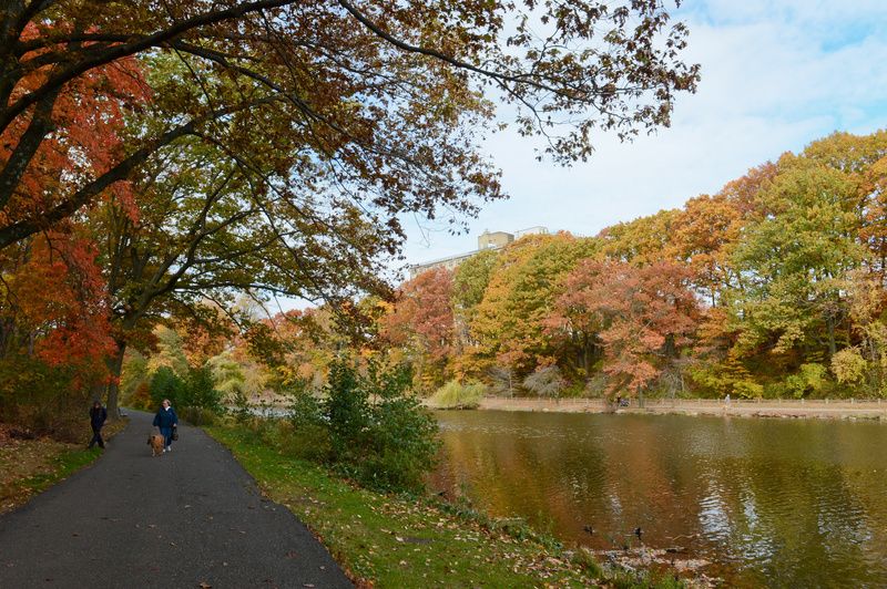
The city’s wetlands also serve a crucial role in keeping low-lying communities safe. Following storm surges, they help drain floodwaters, which is especially useful during the city’s hurricane season. As Jainey Bavishi, Director of the Mayor’s Office of Climate Resiliency stated, “wetlands create natural buffers against coastal storms, making them an important component of New York City’s resiliency strategy.” Wetlands, forested fresh water, streams, lakes, and ponds also keep the city’s temperature down to combat global warming.
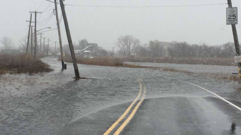
Recognizing the importance of these wetlands, New York State has sought to protect them from human interference. In 1973, the state passed the Tidal Wetland Act and in 1975 the Freshwater Wetland Act. These acts work to prevent the filling and dredging of the state’s wetlands.
In addition, both acts require the Department of Environmental Conservation (DEC) to collect aerial infrared photographs of the state’s wetlands. These DEC photographs are used in the New York State Official Tidal Wetlands Inventory, which delineates and classifies all the tidal wetlands in New York. DEC photographs of freshwater wetlands can be found in the Environmental Resource Mapper, which identifies New York State’s natural resources and environmental features.
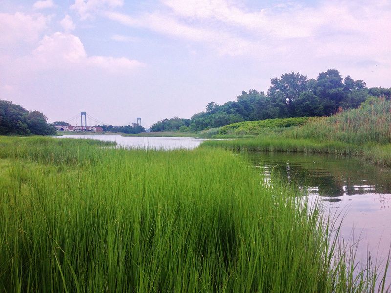
In regards to funding, over the past two decades, government and nonprofit organizations have invested more than $190 million to restore 355 acres of the city’s salt marshes. In addition, this money was used to pilot a wetland mitigation bank to improve restoration outcomes, as well as the reconstruction of freshwater wetlands and streams to improve the management of floodwaters.
Still, under current state and federal laws, only wetlands larger than 12.4 acres are protected, leaving many of the city’s smaller wetlands vulnerable to development. As a result, the city’s wetlands continue to remain in danger, with most predicted to be underwater by 2050. Given this, the Wetlands Management Framework hopes to ensure the protection of approximately 50%, or 2,820, of the city’s remaining 5,650 acres of marsh, wetlands, and streams under the jurisdiction of NYC Parks.
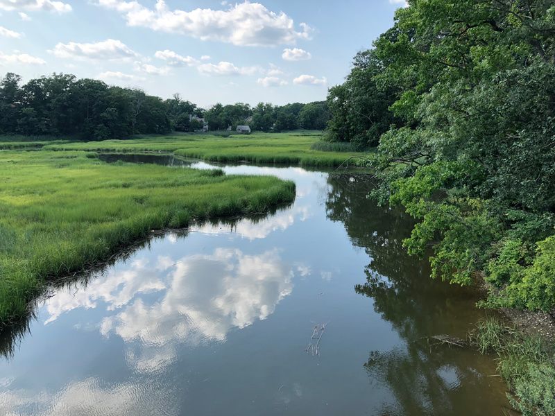
To accomplish this, the framework’s first major goal is to build new wetlands and create migration space so that the wetlands can easily move in response to rising sea levels. In addition, the Wetlands Management Framework plans to transfer 93 acres of publicly-owned property to the jurisdiction of NYC Parks and acquire 50 additional acres of privately-owned land to be managed as wetlands.
Another central goal of the framework is to bring city officials and community leaders together in support of raising awareness on the importance of restoring and preserving the city’s wetlands. This will include an increase in dedicated wetlands staff members, ensuring there is sufficient personnel to manage the newly created wetlands. As Powers stated, “our city’s wetlands are vital to protecting New Yorkers from climate change, but are at risk of being lost forever if we don’t work together to conserve them. We hope to mobilize the city around this goal and seek support from local officials to build investments, staff, and volunteers to save these natural areas.”
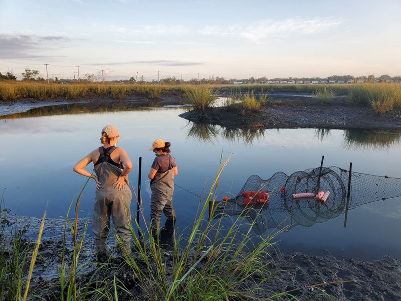
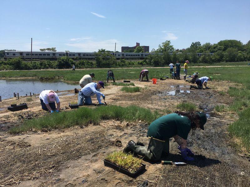

Finally, the Wetlands Management Framework plans to remove invasive plant species. This will help restore the land’s native vegetation. Connected to this, excess debris is planned to be removed from the city’s salt marshes, freshwater wetlands, stream banks, and floodplains.
The Wetlands Management Framework seeks to protect New York City’s wetlands for future generations. Only time will tell if the plan will be capable in helping to save the city’s wetlands.
Next, check out the last wooden bridges on Staten Island and the Secrets of the Rockaways in Queens!
Subscribe to our newsletter