NYC’s Forgotten ‘War on Christmas Trees’
Discover how an obscure holiday crackdown affects festive street vendors today!

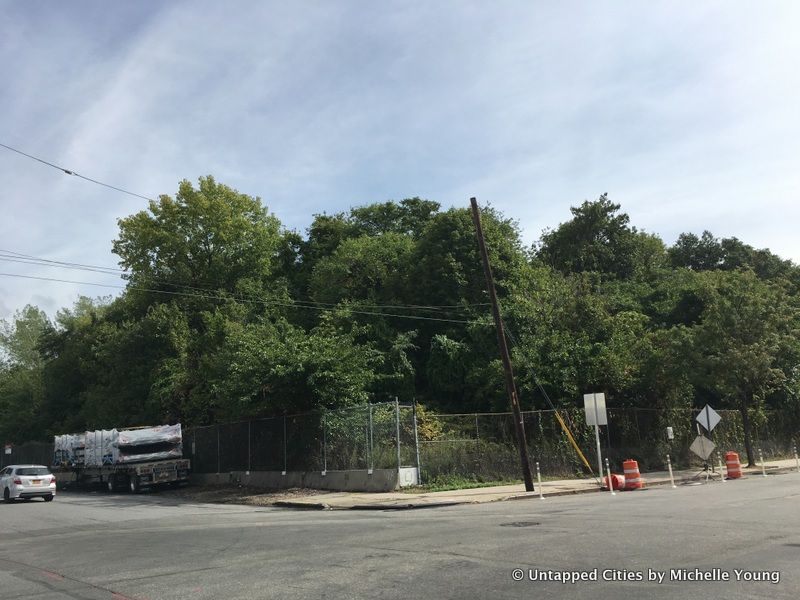
When reading about the LaGuardia Airport runway extensions, we came across Ingraham’s Mountain, a man-made topographic feature that sits within the airport’s leasehold. The mountain was created from excavated material from construction of the third tube of the Lincoln Tunnel in 1936 and is 86 feet high. It’s similar in height to an 8-story building, higher than most of the buildings in the area.
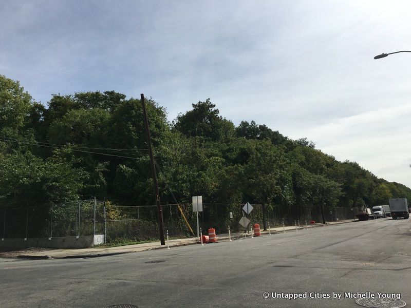
With the upcoming work at LaGuardia, Ingraham’s Mountain will be partially flattened as a staging area and as a result, it’s height will be reduced anywhere from 20 to 30 feet. This “mountain”sits right next to the Bowery Bay Wastewater Treatment Plant and while the original shoreline in this neighborhood has been filled in over time, there is evidence that part of this mountain sits on the original peninsula at Bowery Bay and was an “attractive location for settlement by Native Americans.”
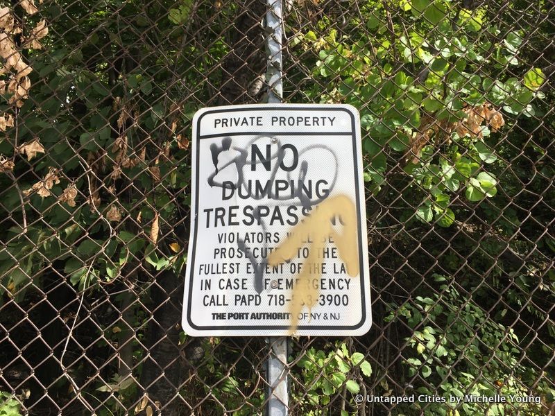
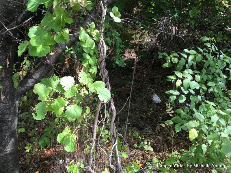
Ingraham’s Mountain only appears within city documents like the LGA Airport Draft Environmental Assessment (where it’s mentioned 188 times) and a New York City MTA Transit study on a rail link for LGA Airport called “Mapping the Underground City.” As for who Ingraham was? We’re still looking into that.
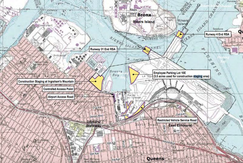
Source: Port Authority
Next, check out the Secrets of LaGuardia Airport. Have a quirky find you want us to publish in the Daily What?!? Contact us or submit via Twitter with the hashtag #DailyWhat.
Subscribe to our newsletter