Last-Minute NYC Holiday Gift Guide 🎁
We’ve created a holiday gift guide with presents for the intrepid New Yorker that should arrive just in time—

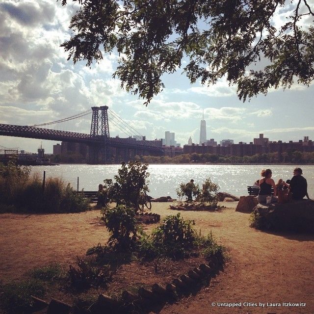
Among New York City’s 520 miles of coastline and far from the hordes of people that crowd New York’s more popular beaches are a host of lesser known parks offering waterfront access, panoramic views, and even natural wildlife discovery. The city published a map of all of New York’s public waterfront space, but we’ve picked out some of the most interesting from each of the five boroughs. Check them out!
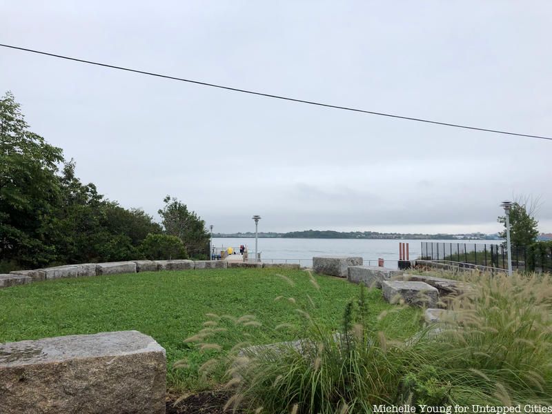
Only four years ago, this green oasis among the industrial surroundings of Hunts Point was a dead end street, just behind the city’s Produce Terminal and Fish Market. Since 2014, the 1.5-acre Hunts Point Landing has offered a fishing pier, kayak launch, and tidal pools. It was one of the first additions to the South Bronx Greenway, which includes the new Randalls Island Connector, that has injected some much needed open space into a neighborhood home to some of the city’s less glamorous uses. Eventually Hunts Point landing will link up with a series of other parks in the area via bike and walking paths.
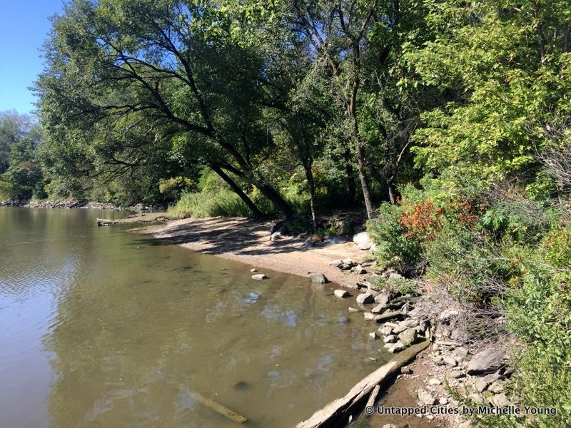
It’s pretty rare to find a nice sandy beach, particularly in Manhattan. In Swindler’s Cove in Inwood, a waterfront area typically bound by hard, concrete edges, there is one spot where you can put your bare feet into the sand and listen to the gentle lapping of waves. Swindler’s Cove and Sherman Creek Park was part of a New York Restoration Project (NYRR) initiative to reclaim the waterfront and revitalize the city’s public spaces.
Entering through Swindler’s Cove, head towards the waterfront and walk along the metal esplanade that goes over the waterfront here. You’ll come in view of the stunning Peter Jay Sharp Boathouse, also a restoration effort by NYRR, and then look along the shore here. Head down a small, unmarked dirt path and discover a little gem of a nature spot, a glimpse of what the Manhattan shoreline may have (sort of) looked like before urbanization.

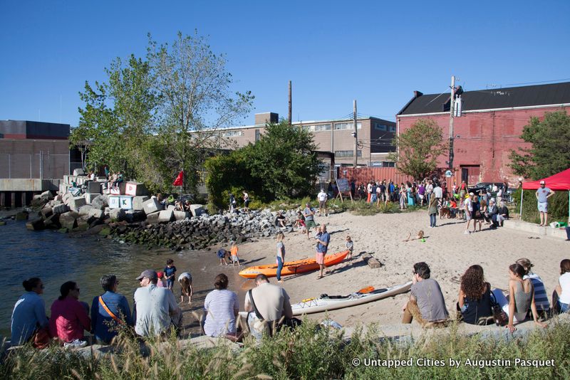
The above photo shows it crowded from a 3D boat race in the September of 2015, but normally, Louis Valentino Jr. Park is a nice respite from the ever-increasing crowds just a few blocks south near the ferry landings. Named in honor of a fallen firefighter and NYC Parks Department lifeguard, this pier was built on former bustling shipping industry property. There’s also a long pier, also named after Valentino, that takes you further out into the Buttermilk Channel.
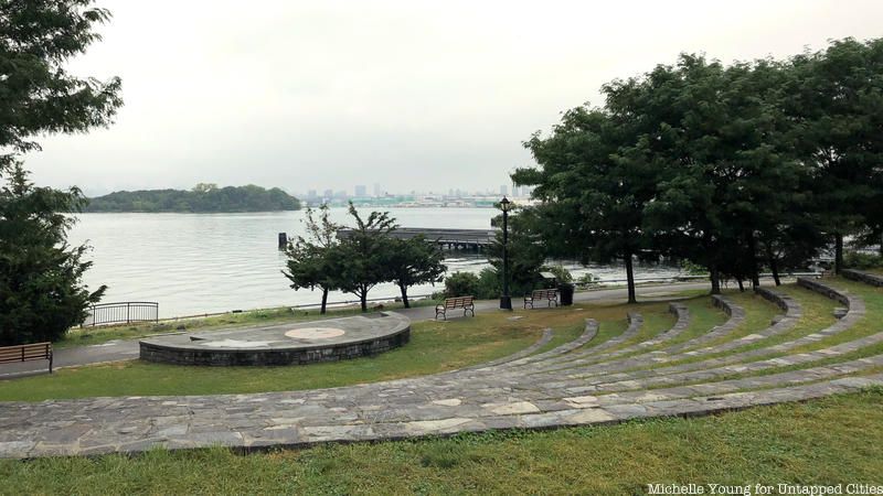
Also on Hunts Point in the Bronx is the Barretto Point Park, an open space that features the floating barge pool on the East River and a view of North Brother Island. There’s a nice Roman style seating area, a sandy beach, paved roads for biking, playgrounds, benches by the waterfront, and more. The park is named after Francis J. Barretto, one of the wealthy merchants who lived in Hunts Point when it was filled with grand estates.
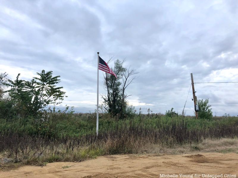
Spring Creek Park in Howard Beach has the “largest amount of undeveloped land and wetlands in the northern Jamaica Bay area,” according to the NYC Parks Department. We have to thank Robert Moses for these untouched waterfront areas, which he acquired through condemnation in 1938 as part of the development of the Belt Parkway, which included the Shore Parkway. Before this, the area was an illegal dumping ground and host to noxious industrial activities. The salt march of Spring Creek Park plays host to a diversity of wildlife. Birdlife, including egrets, great blue herons, mallard ducks, pheasants, and wildlife like muskrats, deer and raccoons abound.

Photo courtesy Alice Austen House by Floto + Warner, Clear Comfort, 2015, © Floto + Warner
This historic house, parts of which date to the 1690s, was home to the early 20th century photographer Alice Austen, and today serves as a memorial to her prolific work. Just below the Alice Austen House lies Buono Beach, a popular fishing and recreational destination for residents of nearby Rosebank. There are great views of the Verrazano Bridge, beautiful at all times of the day.
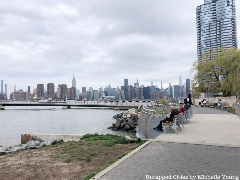
Emblematic of the type of urban change underway in Greenpoint, Transmitter Park replaced the old WNYC radio transmission towers with a host of trendy urbanist amenities, such as a pedestrian bridge and esplanade, a children’s play fountain, and an old broadcast building converted into a cafe. The park also includes a pier that juts out into the East River, an open lawn, and a publicly accessible wetland area, all crammed into 1.6 acres. Definitely check it out for the unobstructed views of the Midtown Manhattan skyline – its still less populated than the overcrowded East River State Park in Williamsburg.

For abandoned exploration, Coney Island Creek is a must-visit with a sunken DIY submarine and other discarded boats. You can see these just off the Calvert Vaux Greenway in Calvert Vaux Park in Gravesend during low tide.
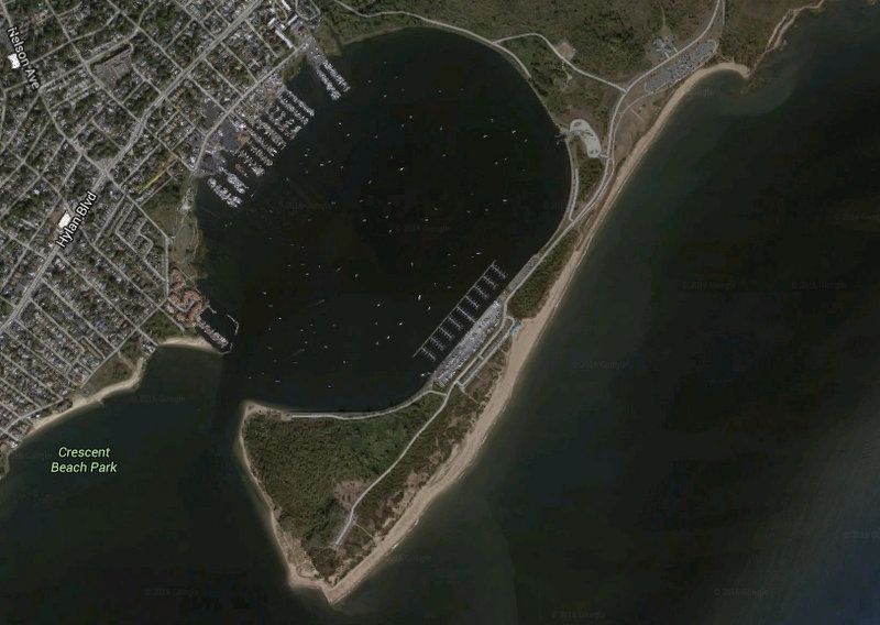
Image from Google Maps
Crooke’s Point is part of Great Kills Park, the end of a narrow strip of land that forms Great Kills Harbor. Currently undergoing a habitat restoration and environmental cleanup, it’s a great spot for birding and other natural wildlife observation. There’s a natural sandy beach and you can get quite close to the tip of the point by car, leaving it at the osprey viewing platform. The National Park Service also allows people to apply for a nature study permit.
Crooke’s Point is named after a naturalist and businessman who owned a house here in the 19th century. The bay is man-made formed by dredging and connecting Crooke’s Point, which was previously an island.
Next, check out 10 of the smallest parks in Manhattan and a guide to the secrets of the most famous of New York City parks, Central Park.
Subscribe to our newsletter