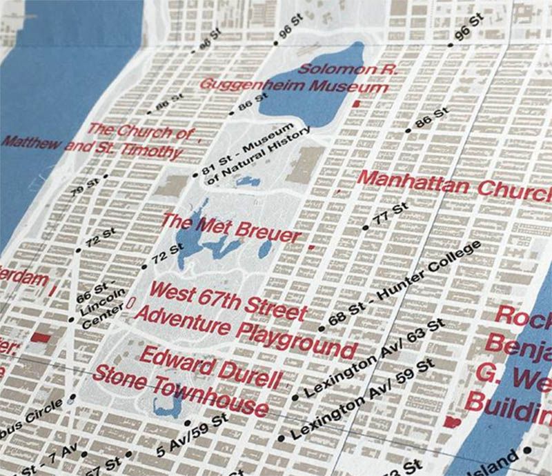

As most New Yorkers know, the five boroughs are filled with impressive architecture, but few have paid particular attention to the material used to create it. A new map from Blue Crow Media reminds New Yorkers that the city was dubbed a “concrete jungle” for a reason, and delves into how this material has come to shape the landscape of New York City.
This map, edited by Allison C. Meier, shows readers sites of concrete architecture in the city. Featuring spots from The Bronx to Staten Island and everything in between, it covers 50 concrete sites spanning from the 1870s to present day. It also includes an essay where readers can learn about the history of concrete in New York City and features photographs of the sites by Jason Woods.

Image via Blue Crow Media
This creation is one in a series of several which highlight brutalist architecture in cities throughout the world. Other concrete maps produced by Blue Crow Media trace brutalist structures in Boston, Sydney, London, Paris, and Washington, D.C.
“I hope that people use it to discover the unloved brutalist monsters or incredible 19th-century structures they may not have noticed,” said Meier of the map.
Spots covered on the Concrete New York Map include Silver Towers in Greenwich Village, JFK Airport’s TWA Terminal, the Met Breuer, the Bronx Zoo, and the Edward Durell Stone Townhouse.
The map can currently be purchased online but will soon be stocked in stores.
For more on mapping New York City and tracing its architectural history, check out Fun Maps of New York City in the 1980s and 10 of NYC’s Most Outrageous Never Built Architectural Projects.

