Last Chance to Catch NYC's Holiday Notalgia Train
We met the voices of the NYC subway on our nostalgia ride this weekend!


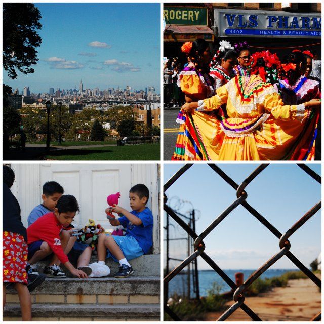
Still, it is not a place without problems. It was designated a federal poverty area in the 1960s. Garment sweatshops operate in basements, apartments and concealed warehouses. The illegal commuter van industry is flourishing. The Gowanus Expressway (a portion of the Brooklyn Queens Expressway) literally dissects the neighborhood, while waterfront access is blocked by large industry. As the locus of great economic, social and political debate, Sunset Park is a place to experience before developers, government agencies and community groups battle and ultimately settle on some compromise that nonetheless destroys the fabric of one of the last “hidden” neighborhoods in New York.
How to Get There:
Subway: N/R/D/M to Prospect Avenue, 25th st., 36th st., 45th st., 53rd st., or 59th st.
D/M to 9th ave or N to 8th ave.
Take any cross street and walk from the industrial waterfront through the commercial and residential areas.
Subscribe to our newsletter