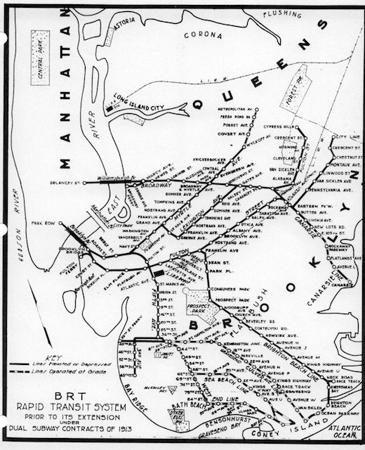
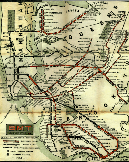
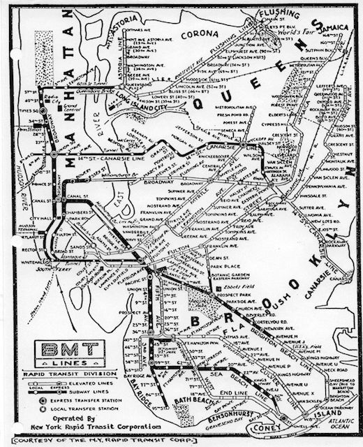
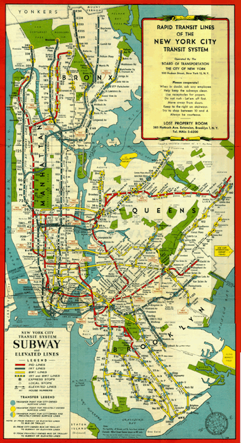
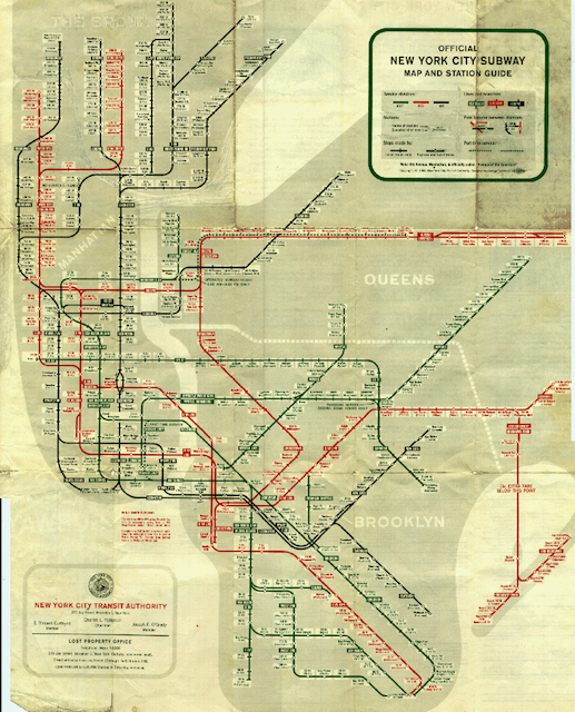
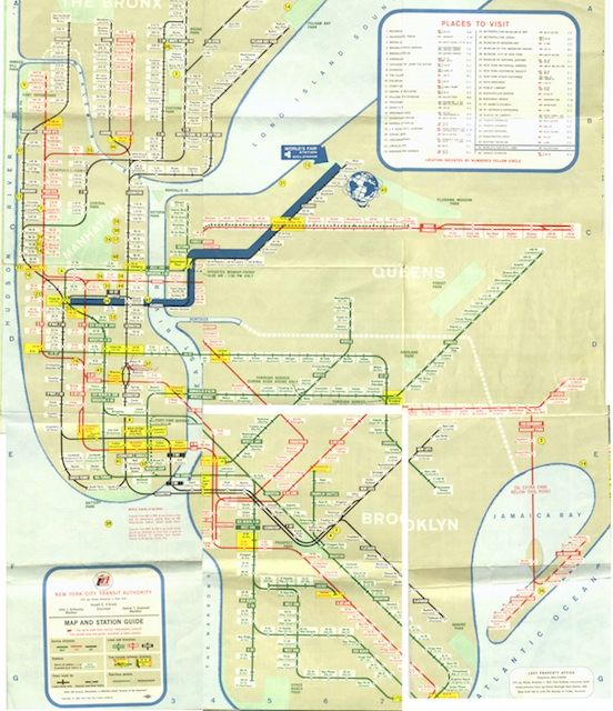
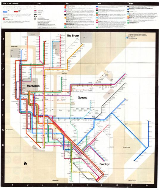
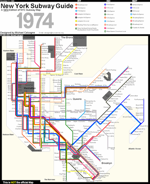
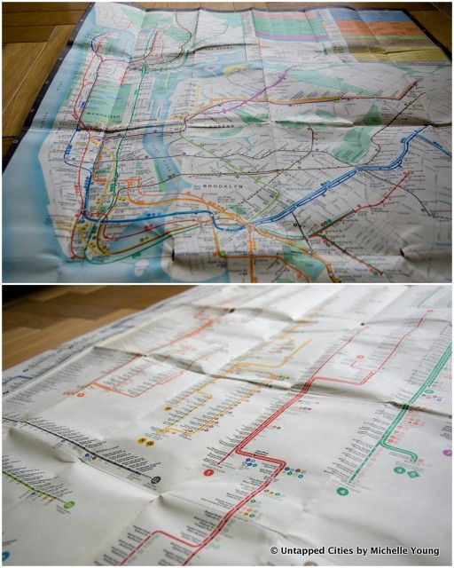
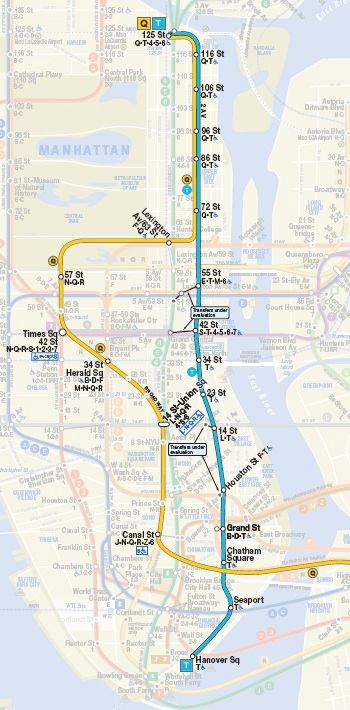
Here, in chronological order, a roundup of historical, replicas and future iterations of the New York City subway map. Until the 1940s, the subway was run by three competing companies: Interborough Rapid Transit (IRT), Brooklyn-Manhattan Transit (BMT), and the Independent Subway (IND). Watch the lines spread like a vine over the geography of the city, see the system unify into one beast, and observe how graphic design evolves with the aesthetics of the decades. These maps and many more are available here, at nycSubway.org.
This map was part of a souvenir publication released for the opening of the IRT (Interborough Rapid Transit) subway in 1904
1912 BRT (Brooklyn Rapid Transit) Route
1924 BMT (Brooklyn-Manhattan Transit) Subway-Elevated Route
1933 BMT Subway-Elevated Route. “Map dated by presence of Radio City Music Hall, which opened in December 1932.”
1948 System Map: IRT & BMT lines both shown
1959 System Map: The Beginning of the New Layout
1964 System Map: The World’s Fair Map
1972 Map
1974 System Map: A Hand-Drawn Replica by Michael Calcagno
Authentic 1979 MTA Map, a find at Brazenhead Books
The MTA’s Second Avenue Subway Map with the new T Train and Q train extension
Check out our Photos of the Second Avenue Subway Construction. Get in touch with the author @untappedmaps. See more maps in our Fun Maps column.
2 thoughts on “Weekly Map: Time Travel with Vintage NYC Subway Maps & the Second Avenue Subway”
Comments are closed.
The 1964 map looks like the 2/5 extends to sheepshead bay, can someone explain this?
As makers of representational maps are fond of disclaiming, “not to scale”. It’s hard to tell from the blurry image, but if you count the stops and stare hard at the writing you’ll see that it’s just the existing line to Flatbush Avenue, stretched out to minimize cramping.