How NYC Subway, LIRR, and Metro-North Responds to Snowstorms
Snow blowers, throwers, plows, and more specialized equipment help keep NYC moving in the snow!


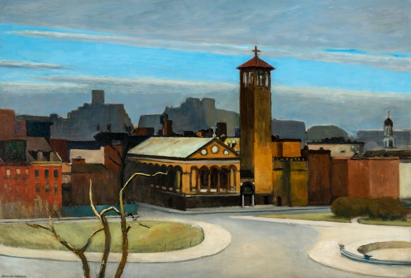
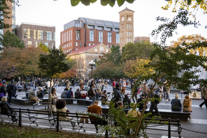
New York City has changed quite a bit since realist painter Edward Hopper lived here in the early 20th century, but in ways, it has stayed much the same. Born in the town of Nyack in New York’s Hudson Valley region, Hopper spent most of his life as a resident of New York City at 3 Washington Square North in Greenwich Village. Over the nearly 60 years he spent as a city dweller, Hopper, known for his famous Nighthawks painting, sketched and painted the evolving city around him. In a new interactive map from The Whitney, you can explore nearly 20 locations around Manhattan immortalized in Edward Hopper paintings, and compare Hopper’s view to current photos taken from nearly the same perspective.
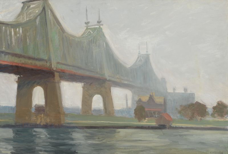
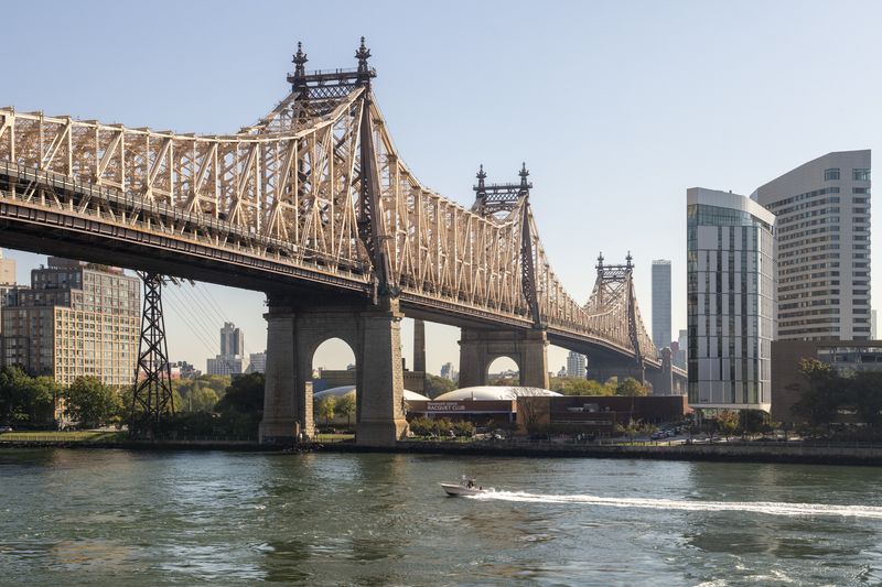
Rather than painting famous landmarks like the Empire State Building and the Brooklyn Bridge, Hopper was often drawn to “unsung utilitarian structures and out-of-the-way corners,” where there were “collisions of new and old, civic and residential, public and private that captured the paradoxes of the changing city.” Across the map, you’ll see Hopper’s renderings of infrastructure like the Ed Koch Queensboro Bridge, the Manhattan Bridge, an El station, and the Macomb’s Dam. There are also scenes from Roosevelt Island, Hopper’s neighborhood near Washington Square Park, and various shops and street scenes.
One painting on the map that is particularly unique is Hopper’s painting of the lost Loew’s Sheridan Theater. Opened in September 1921, the 2,342-seat theatre stood at 7th Avenue and West 12th Street. During his time in New York City, Hooper frequently saw films at the Sheridan. It closed in June 1969, two years after Hooper’s death, and was eventually demolished in August 1968. Hopper’s painting of the Sheridan is different from his other works in that it is the only painting of a theater interior in which he depicts a specific theater. In his other works, Hopper usually took bits and pieces of different rea life settings and combined them to form something new and imagined.
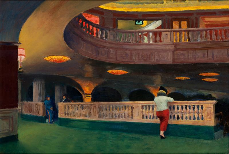
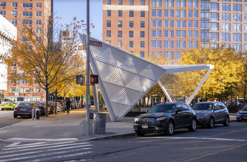
All of the paintings featured on the digital map are currently on view at The Whitney exhibition Edward Hopper’s New York. The exhibition features over 200 paintings, watercolors, prints, and drawings from the Whitney’s collection of Hopper’s work, as well as loans from public and private collections, and archival materials including printed ephemera, correspondence, photographs, and notebooks. Edward Hopper’s New York will be on view until March 5th.
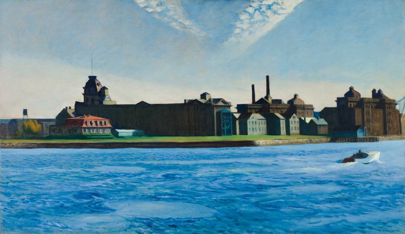
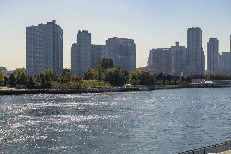
Do you have an eye for naming New York City locations? Over on the Whitney’s Instagram, current-day photos of scenes depicted in Edward Hopper paintings are posted for viewers to guess the location. Join in on the fun with the #HopperWasHere campaign and test your New York City scouting skills!
Kim Conaty, the Whitney Museum of American Art’s Steven and Ann Ames Curator of Drawings and Prints and curator of the Edward Hopper’s NY exhibition, hopes that visitors to the exhibit and users of the digital map will garner a curiosity for the city, just like Hopper did, “Hopper had his New York, and we all have our own distinctive New Yorks, forged through daily experiences, infused with memories, and built on the histories of the city before us. And there’s always so much more to explore, if we remember to look.”
Next, check out NYC Getaway: A Weekend in Nyack and 10 Secrets of the Whitney Museum
Subscribe to our newsletter