Marty Supreme Film Shoot Transforms NYC’s Lower East Side
In October 2024, we reported on a new Timothée Chalamet movie that was shooting on the Lower East Side, and


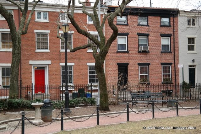
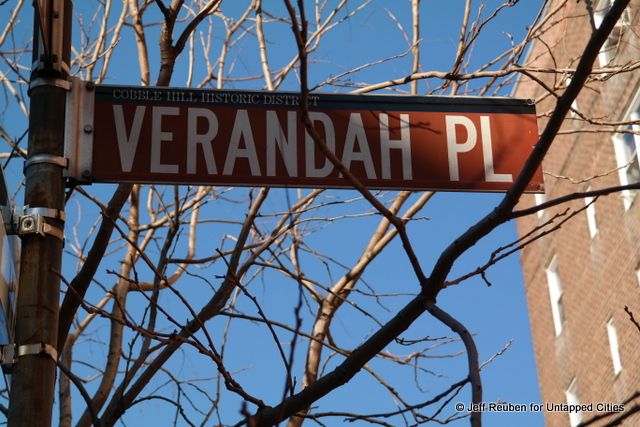
Verandah Place in Brooklyn’s Cobble Hill Historic District is a charming little street that seems to transport one back to the neighborhood’s mid-nineteenth century origins. Rather than being frozen in time, however, its attractive character is due not only to the small scale of its quaint rowhouses, but also to the adjoining park that was created in the 1960s and which both altered and enhanced its historic context.
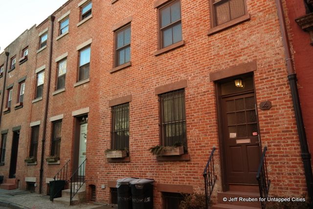
More a mews for the horse drawn carriages of Brooklyn’s past than a proper street, Verandah Place (also sometimes spelled Veranda Place) is a block and a half long and just 20 feet wide, including the narrow sidewalk along its south side. It was created as a service alley as the area urbanized and the street grid was laid out in the years prior to the Civil War.
Between Henry and Clinton streets its south side is lined with a picturesque row of small brick residences, mostly three stories, that are built up to the sidewalk. Some of these structures were originally built as stables and later converted to residential use and others were built as homes for local workers and originally referred to as cottages. Ironically, there are no verandahs to be found on this street.
Views of this historic row are provided from Cobble Hill Park, located directly across the street. While the park looks as if it too dates from the neighborhood’s early days, with its wrought iron fencing, winding paths, and mature trees, it is a much later addition.
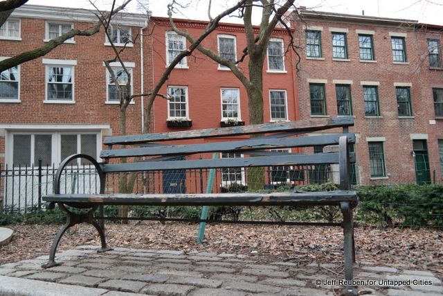
The park opened in 1965 and a renovation during the 1980s is credited with creating its seemingly contextual character, which although ersatz, is undoubtedly more compatible than what existed historically, especially given Verandah Place’s longstanding residential character.
The property where the park is now located was originally developed with residences that faced onto Congress Street to the north with their rear lots lines along Verandah Place. There was also the Second Unitarian Church, built in 1853, which faced Clinton Street.
By the early twentieth century, Verandah Place had acquired a notorious reputation; the Brooklyn Standard-Union reported in a 1910 article that it “is said by the police of the Butler street station to be the worst spot in the entire precinct, and that is saying a great deal.” The neighbors on the north side of the street constructed a 15-foot tall brick wall along the northern street line and the Unitarians moved out of their church in 1925.
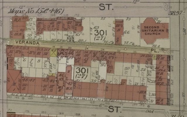
E.B. Hyde Map 1903 Showing Veranda Place, From The Lionel Pincus & Princess Firyal Map Division, The New York Public Library
In 1934 property owners from the south side of the street unsuccessfully lobbied to widen the street and remove the wall, which obstructed access to light and air.
Where the park is now located was vacant by the early 1960s and eyed as a development site. Redevelopment proposals, first for a supermarket and later for an apartment building, were opposed by many local residents. Community groups, including the then newly-formed Cobble Hill Association, succeeded in convincing the City to purchase the property and create a new park, which opened on July 14, 1965.
Two years later, in 1967, the Landmarks Preservation Commission designated the Cobble Hill Historic District, which helps to ensure the continued historic preservation of Verandah Place.
Today the park is a beloved neighborhood green space and the houses along Verandah Place are sought after real estate.
Go visit Cobble Hill Park, which provides great views of Verandah Place and plenty of light and air for its residents.
Check out 9 more historic, quaint mews in New York City. Read more about New York City’s street origins in our History of Streets column. For more information on Verandah Place, see this blog entry from the Cobble Hill Association, which is now celebrating the park’s 50th anniversary.
Subscribe to our newsletter