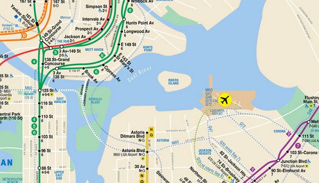
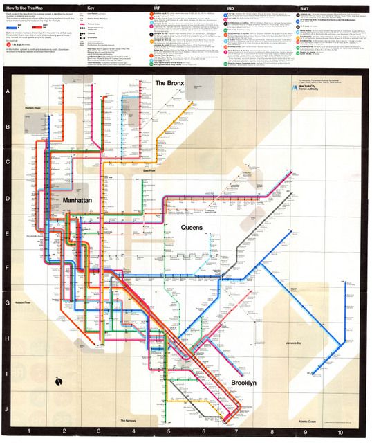
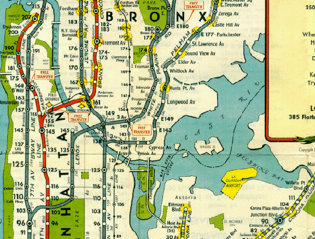
August 2013 NYC Subway Map by the MTA with Rikers Island
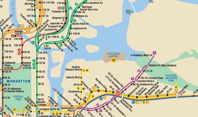
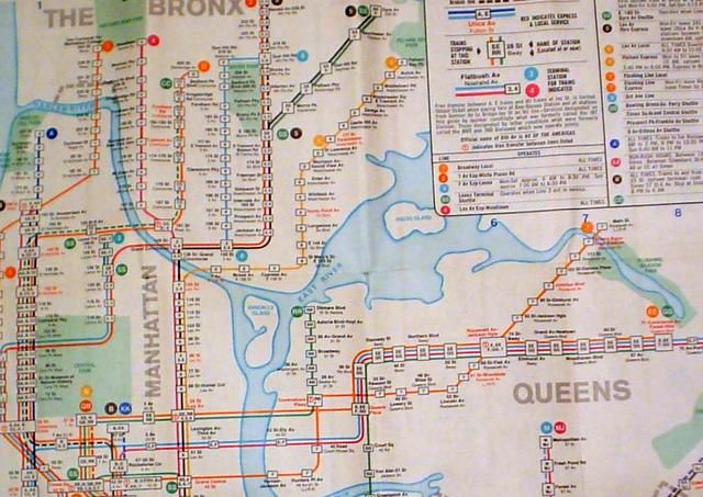
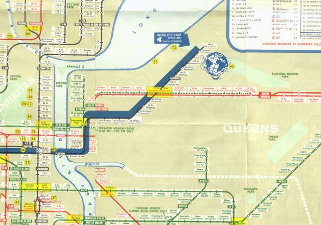
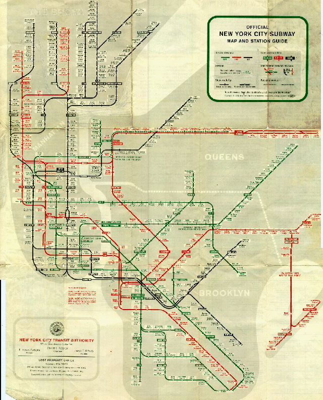
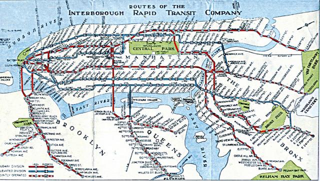
Over the years, the MTA and earlier transit agencies have both included and omitted Rikers Island from its maps, undecided as to how public or private it really is. We’ve taken screenshots of maps going back to 1939 to show the inconsistency.
There is only one way to access the infamous prison, across the Rikers Island bridge. The island facility is comprised of ten jails with a total capacity of 17,000 all-male inmates. It is technically part of the Bronx borough, but it’s part of Queens Community Board 1 and has a Queens zip code. Hazen Street, which begins in Queens at the Grand Central Parkway, continues onto Rikers Island and bisects the space. The MTA runs the Q100 bus over the bridge but private cars require a permit. These connections mean that, unlike the restricted and abandoned North Brother Island, Rikers Island is far more ambiguous in terms of accessibility, especially if you are looking at a city map.
Michelle is the founder of Untapped New York and the author of The Art Spy: The Extraordinary Untold Tale of WWII Resistance Hero Rose Valland, Secret Brooklyn, Secret New York, and Broadway. michelleyoungwriter.com